
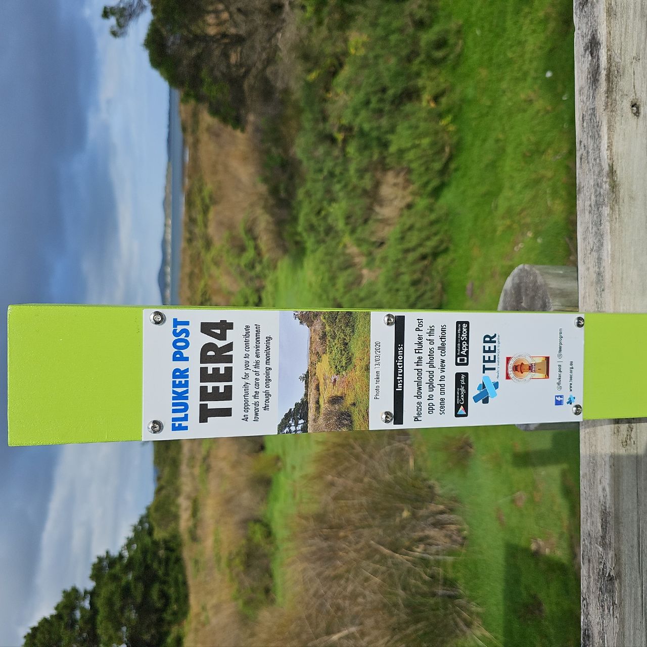
TEER4 Kanamaluka Trail
Kanamaluka / Tamar Estuary
2
Years
52
Photos


2023


2024


2025

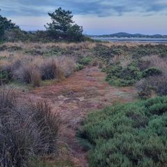

TEER4 Kanamaluka Trail
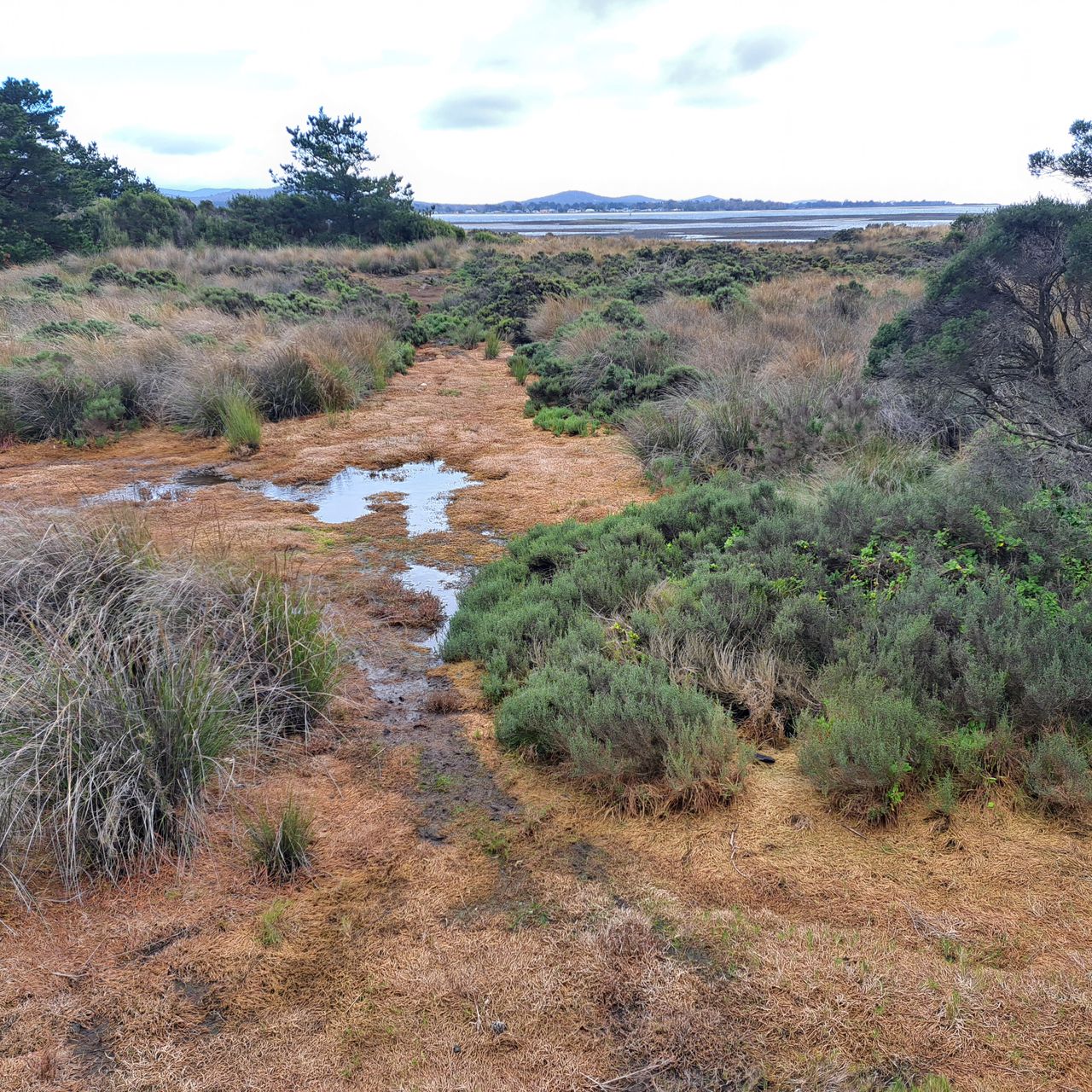
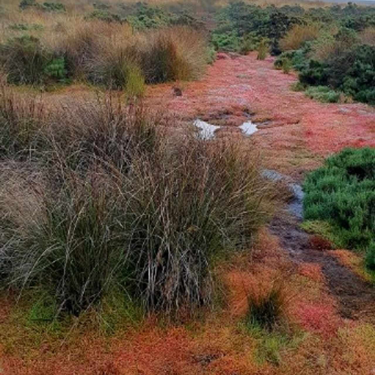
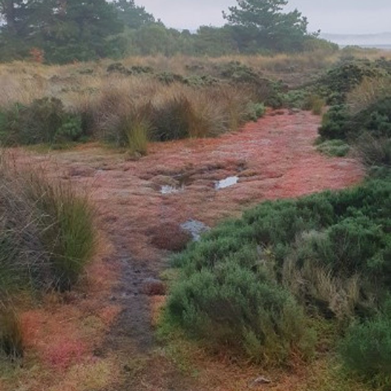
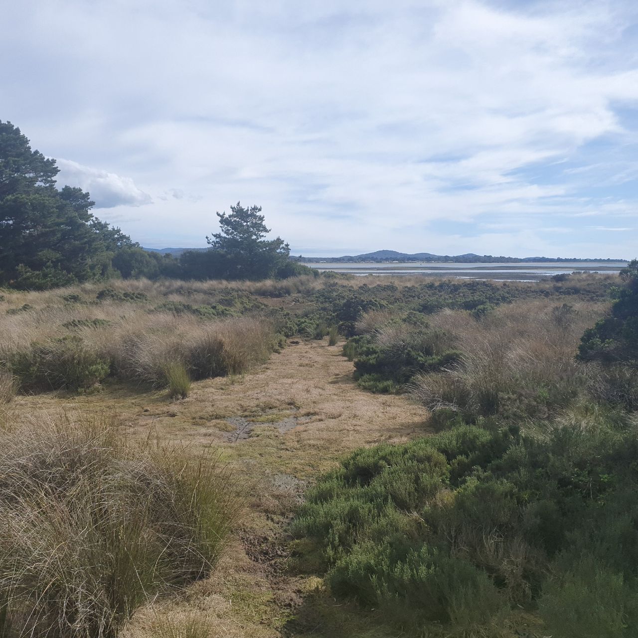
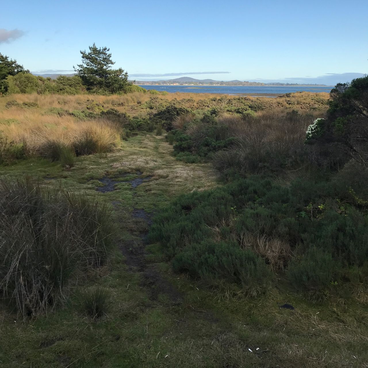
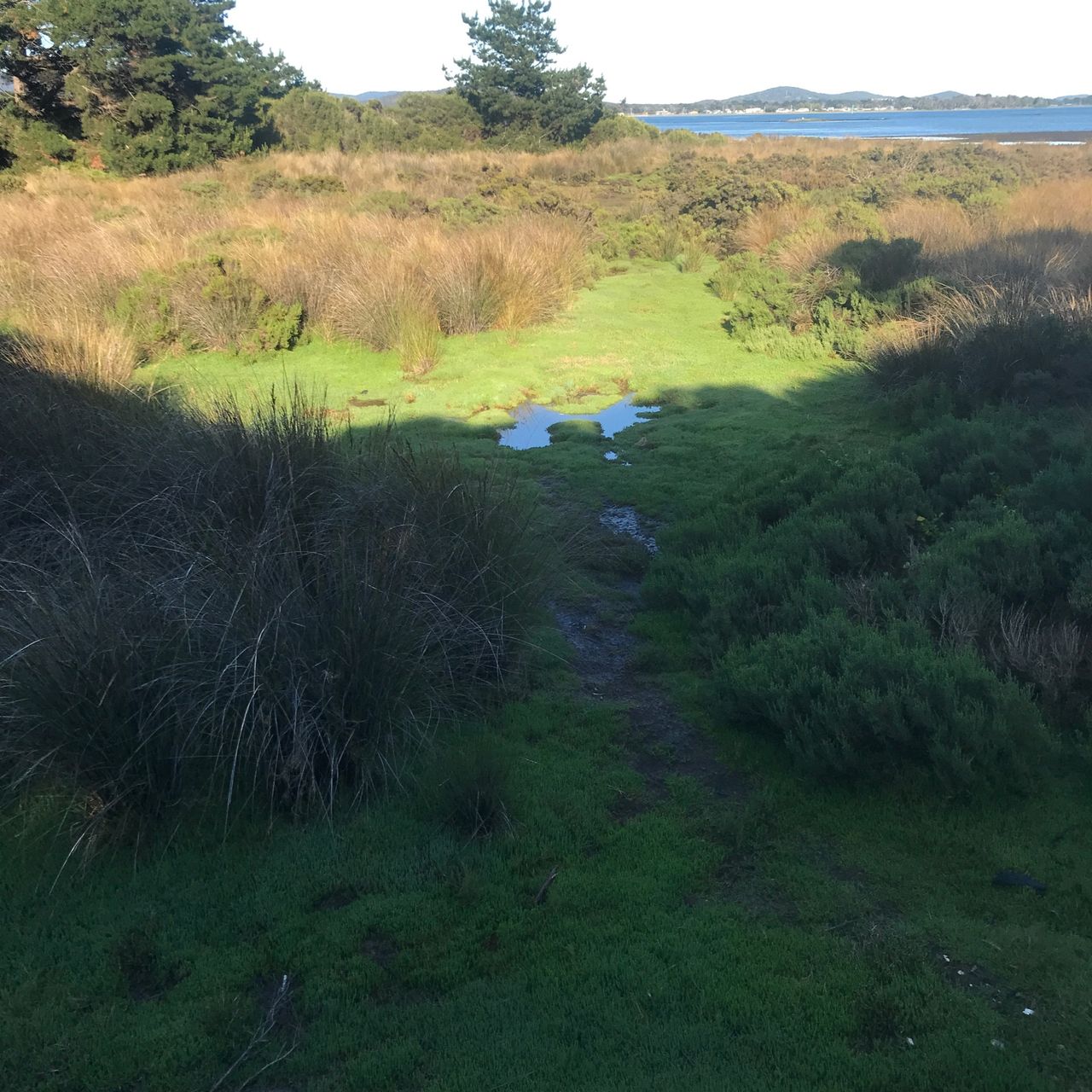
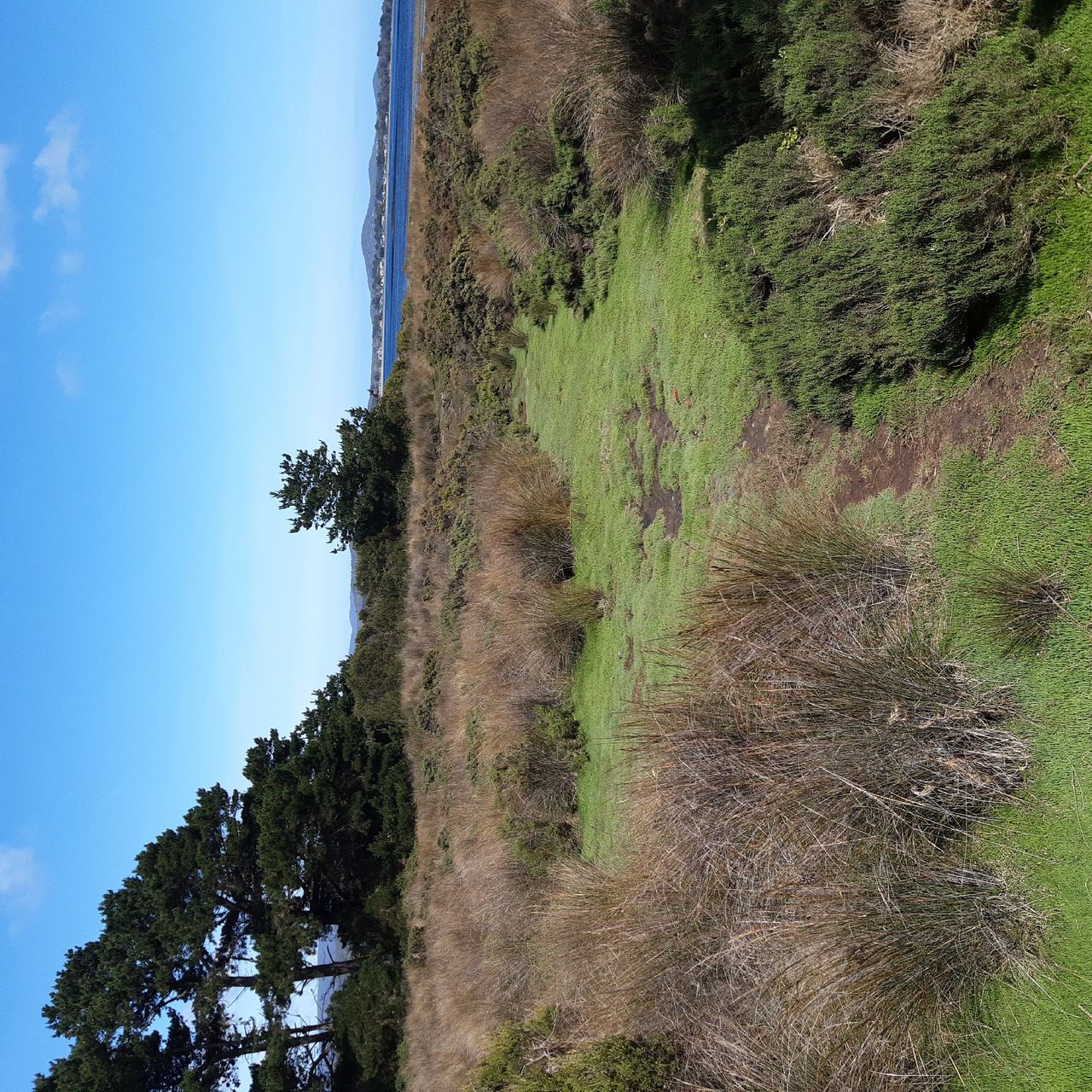
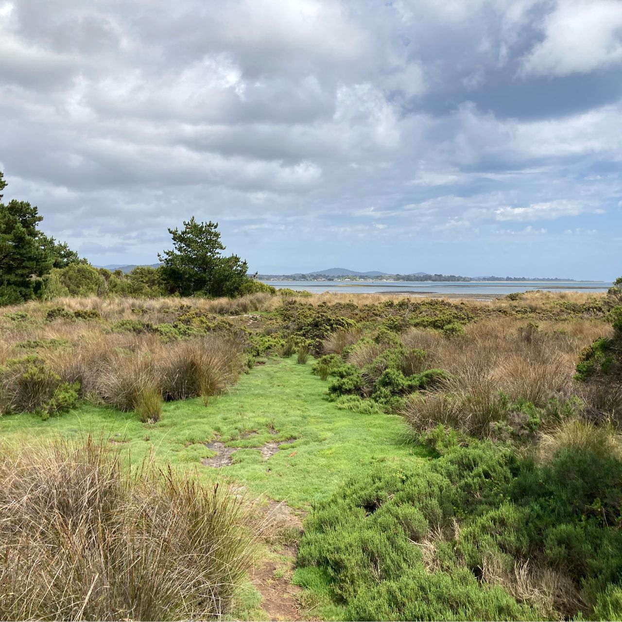
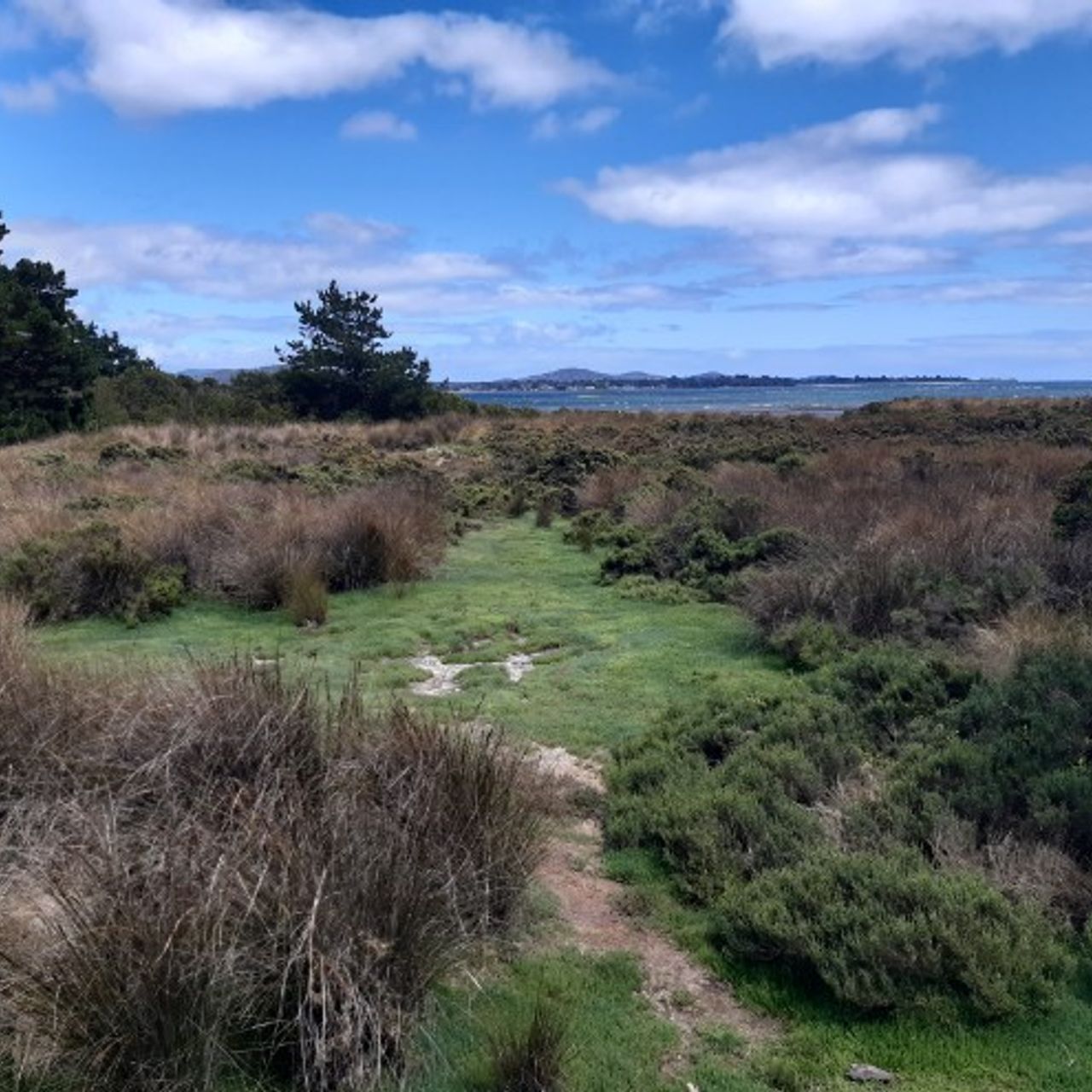
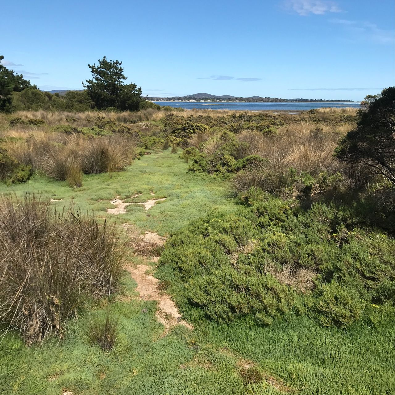
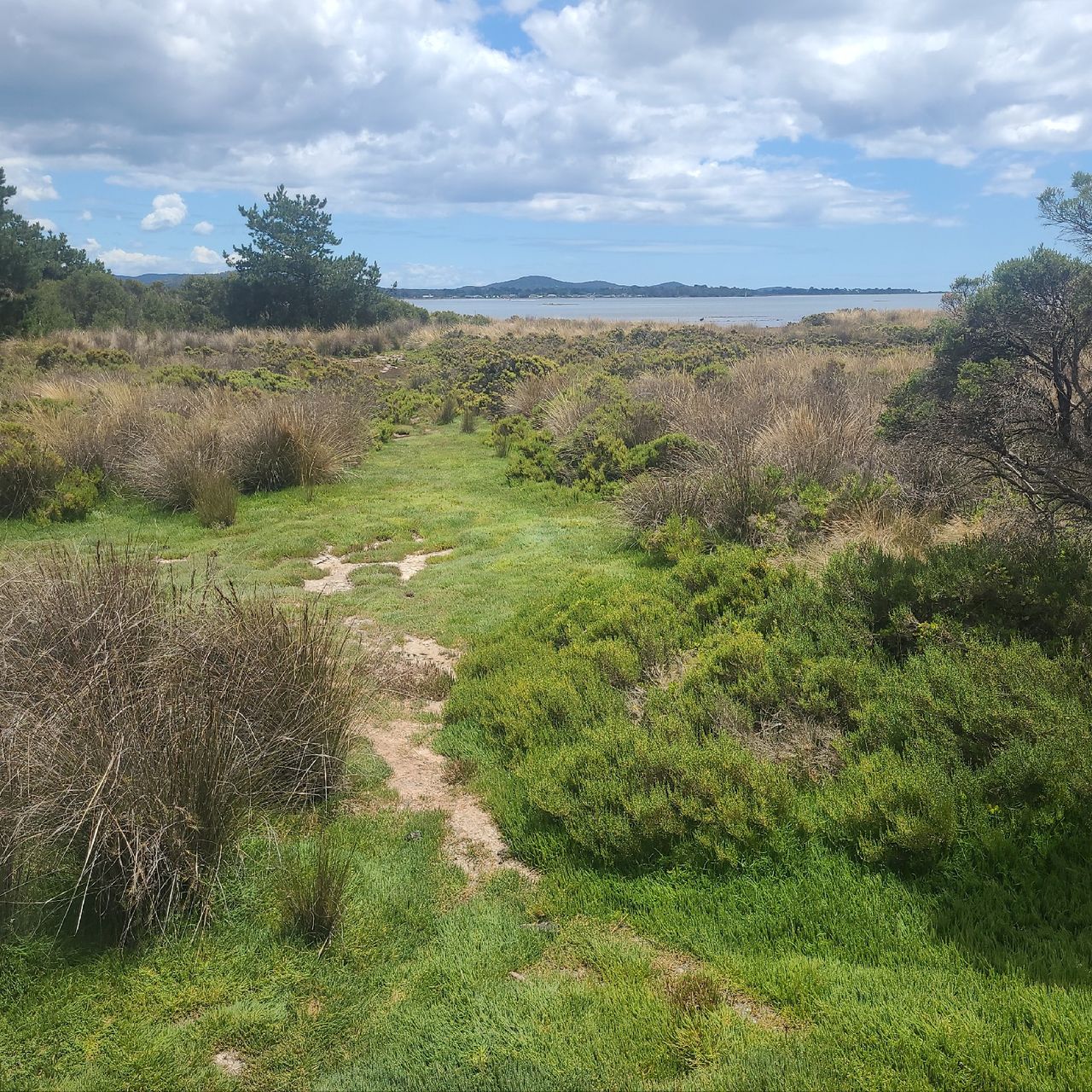
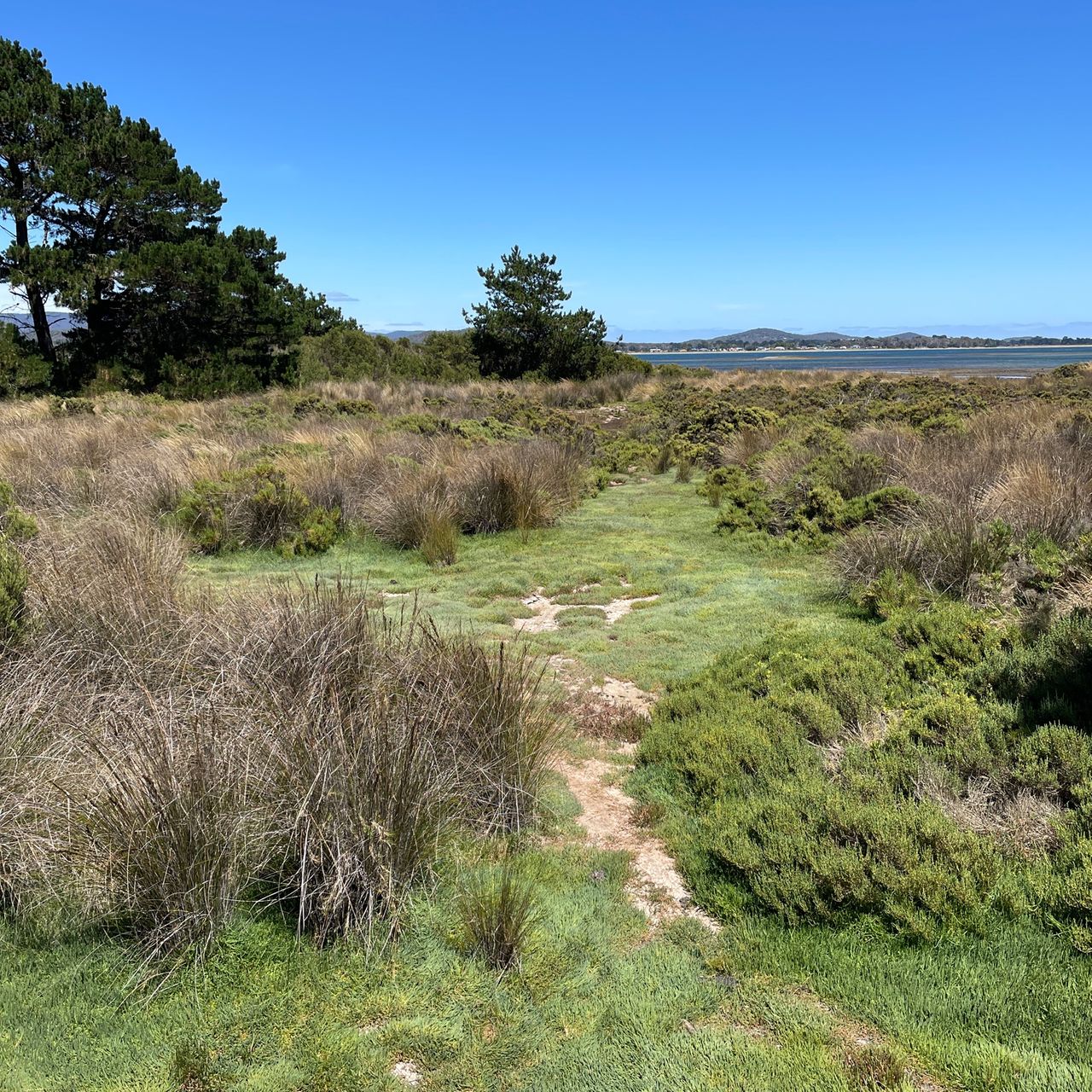
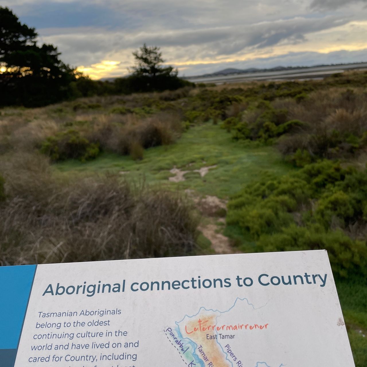
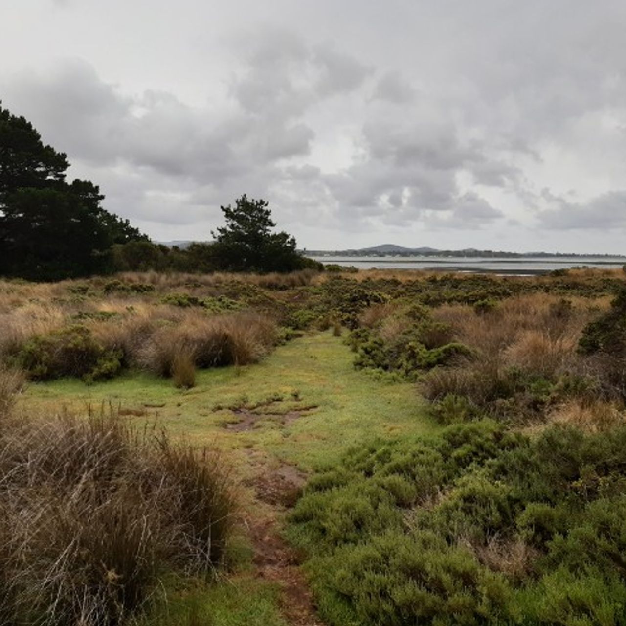
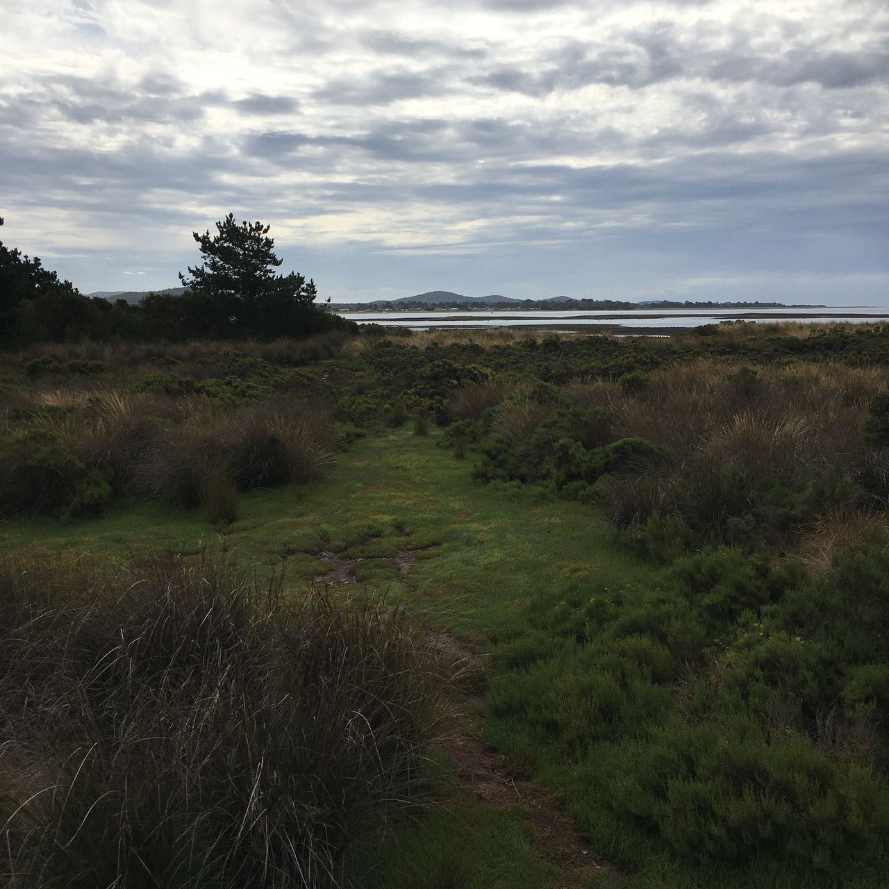
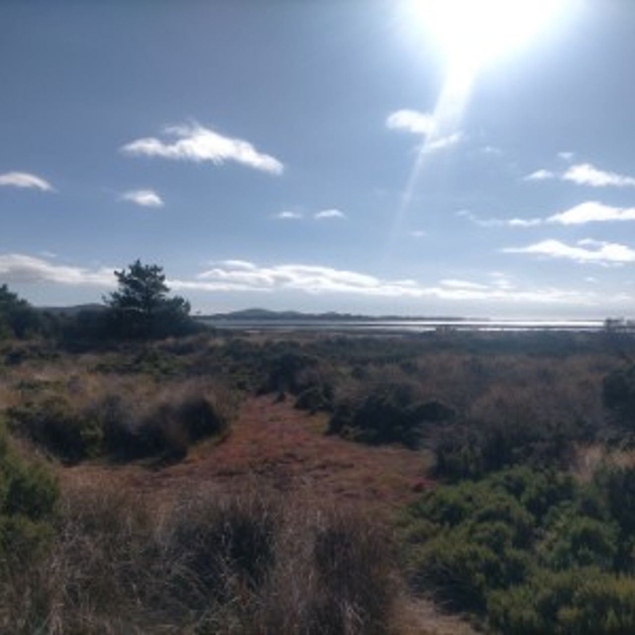
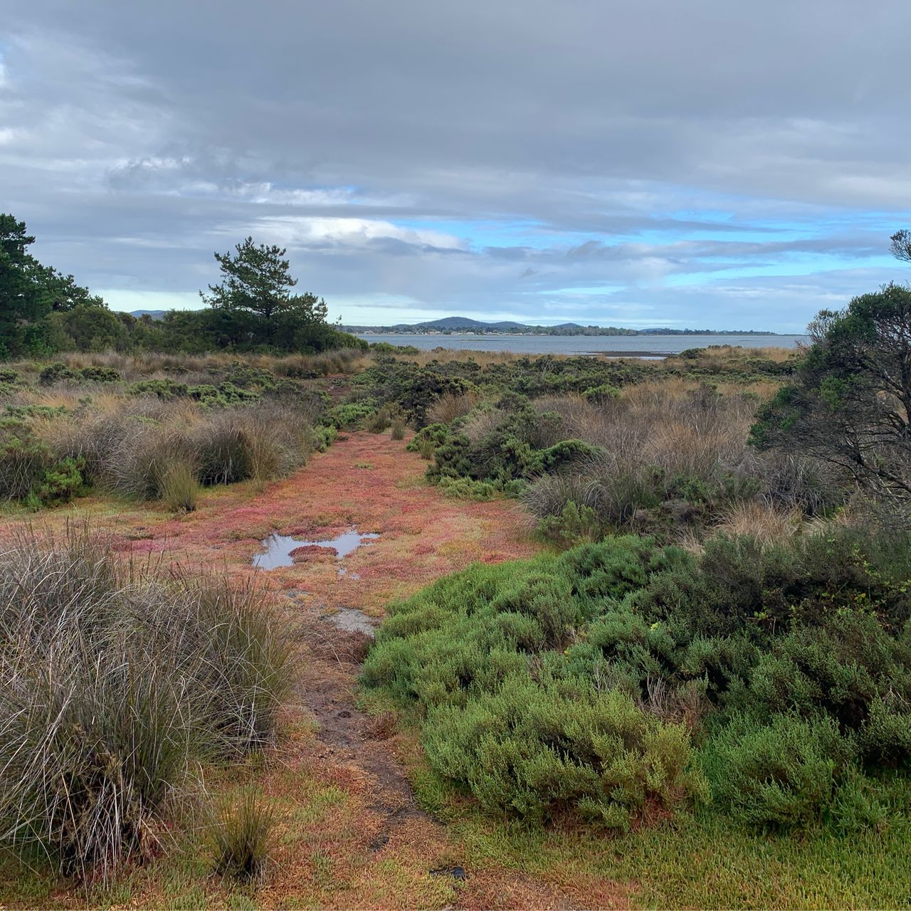
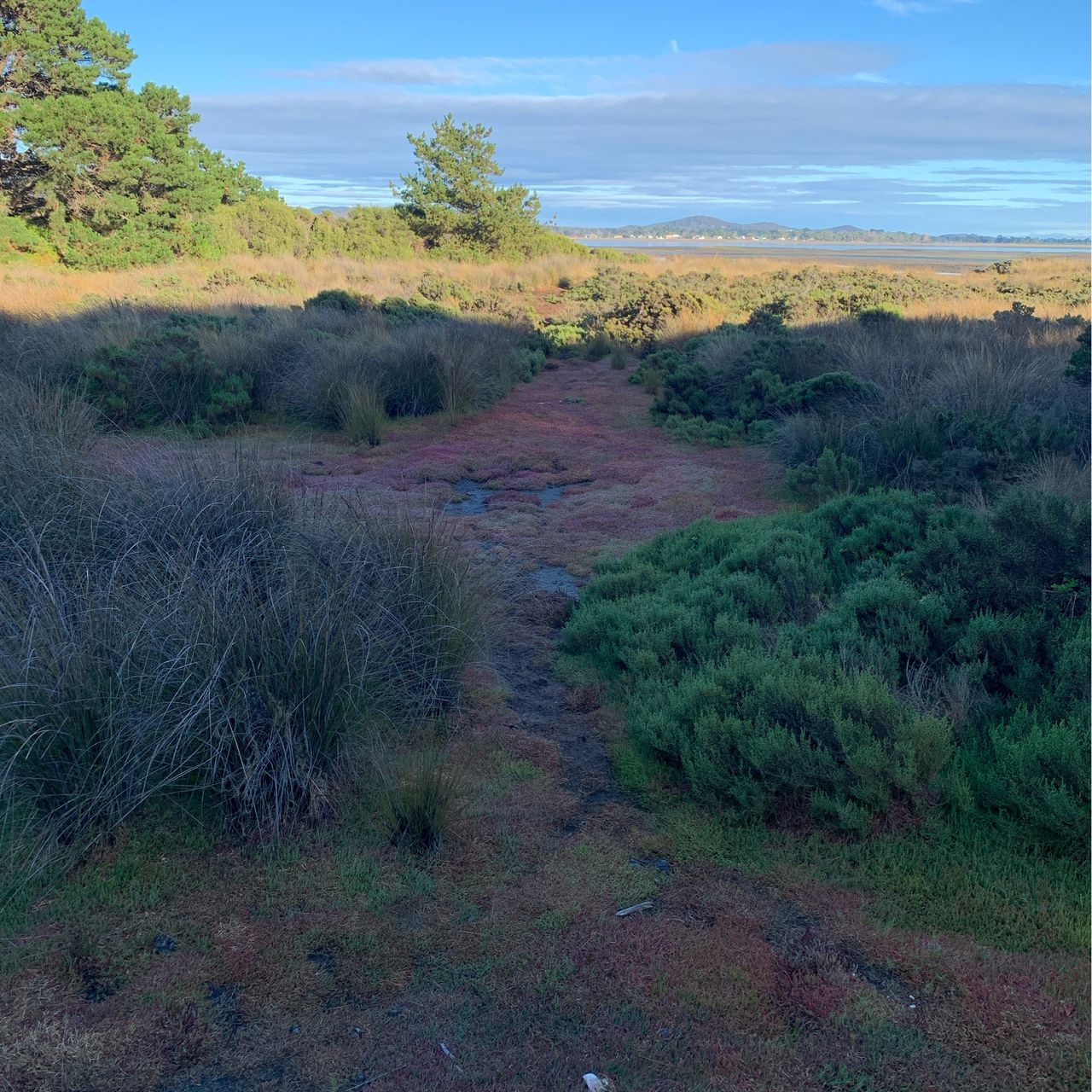
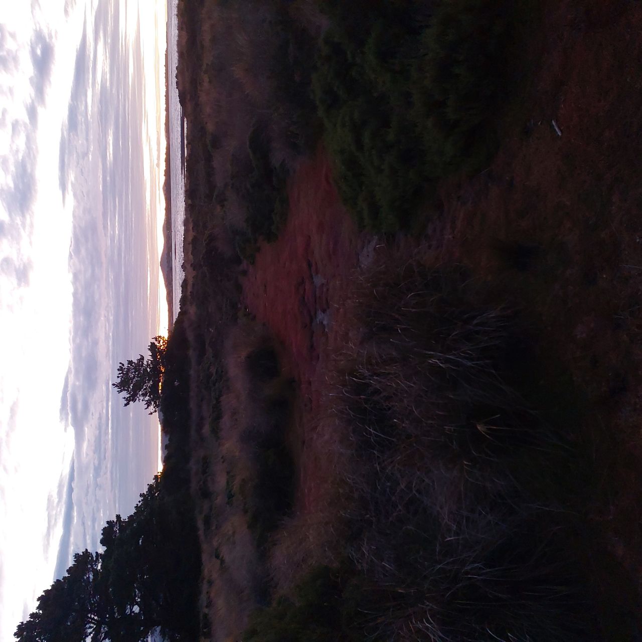
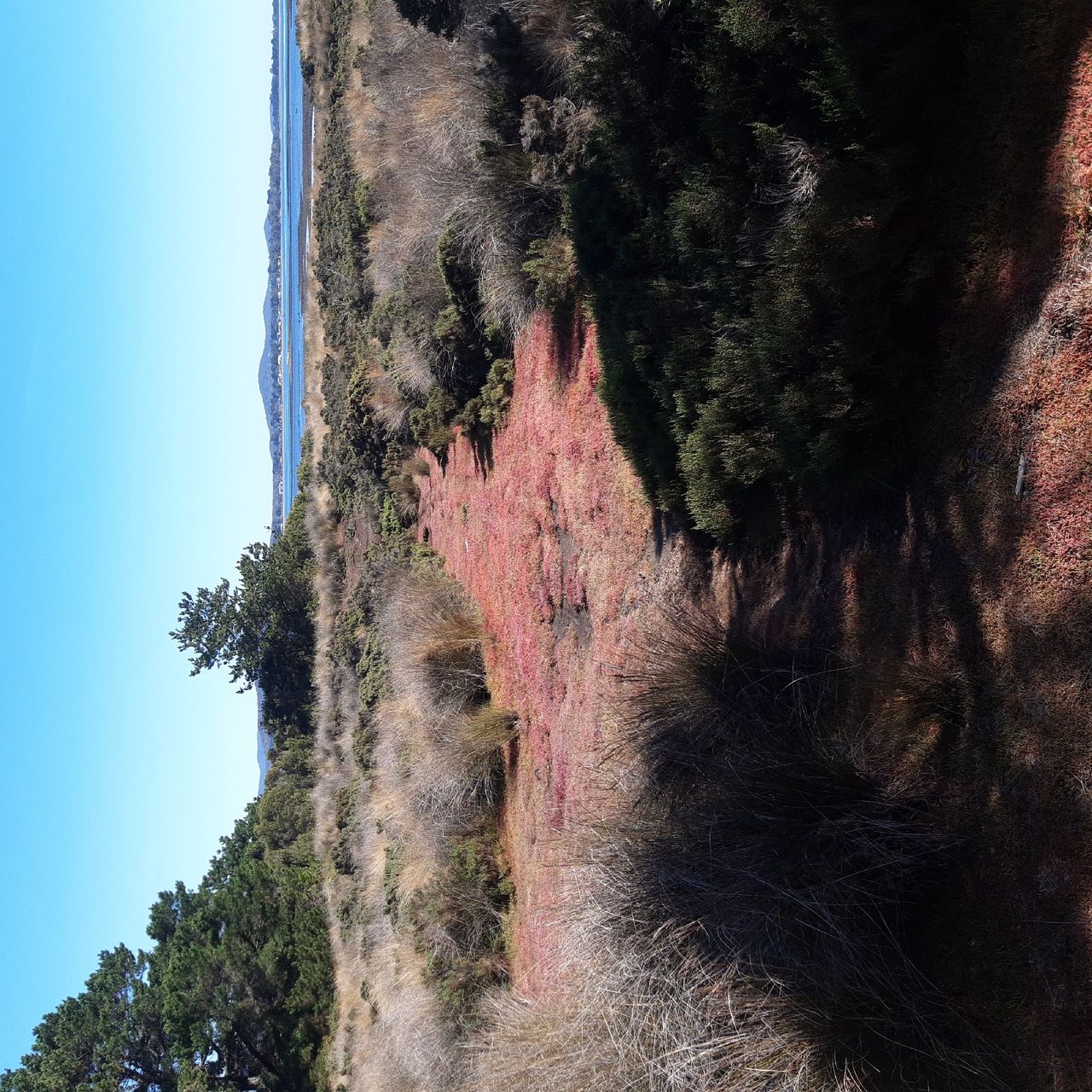
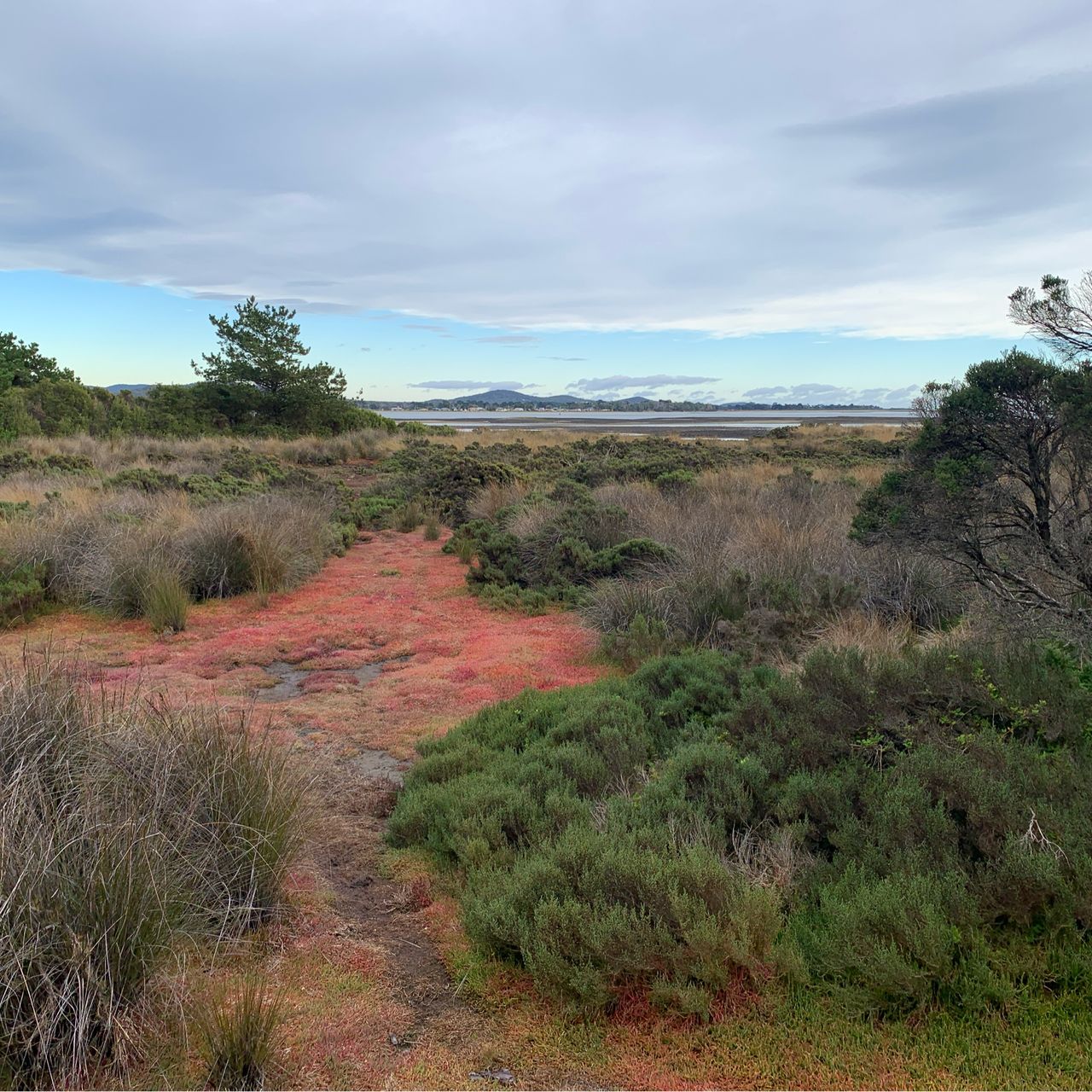
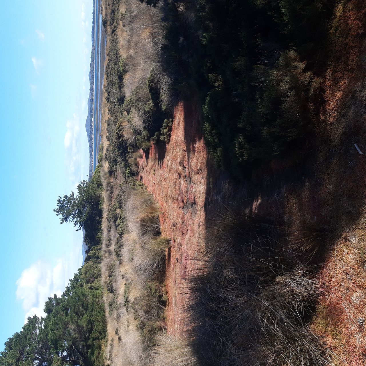
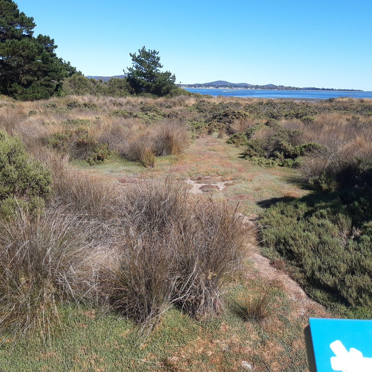
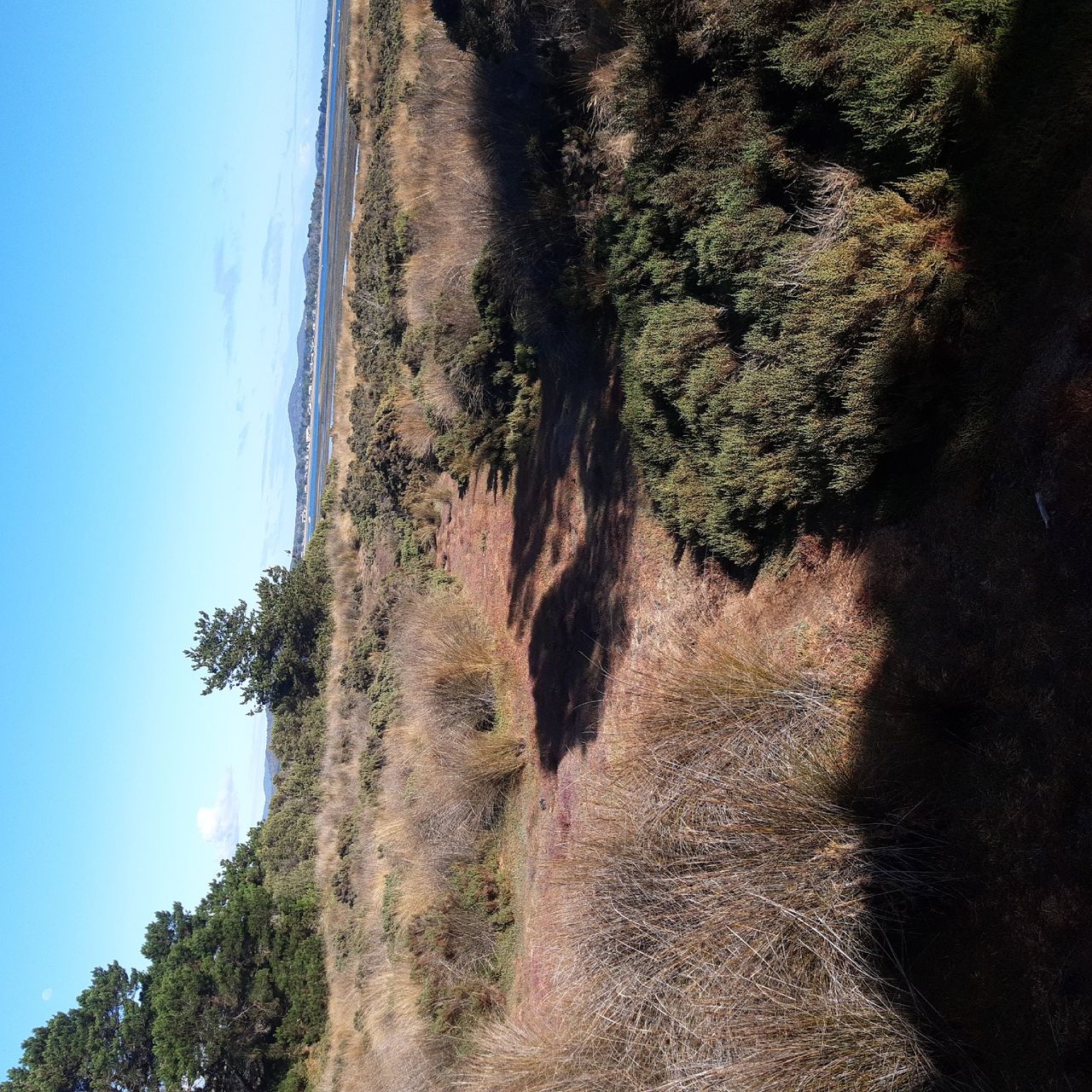
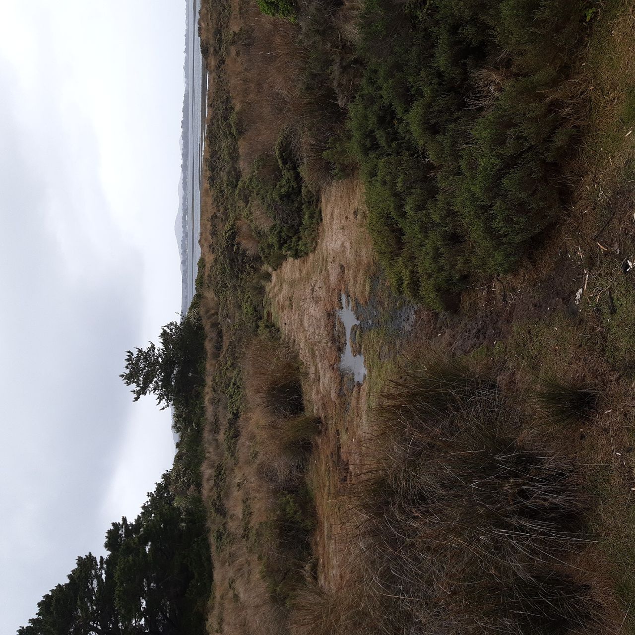
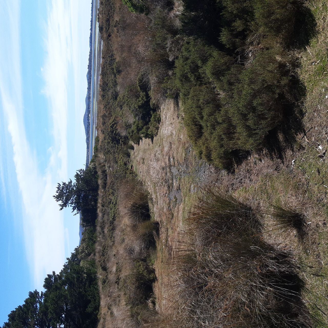
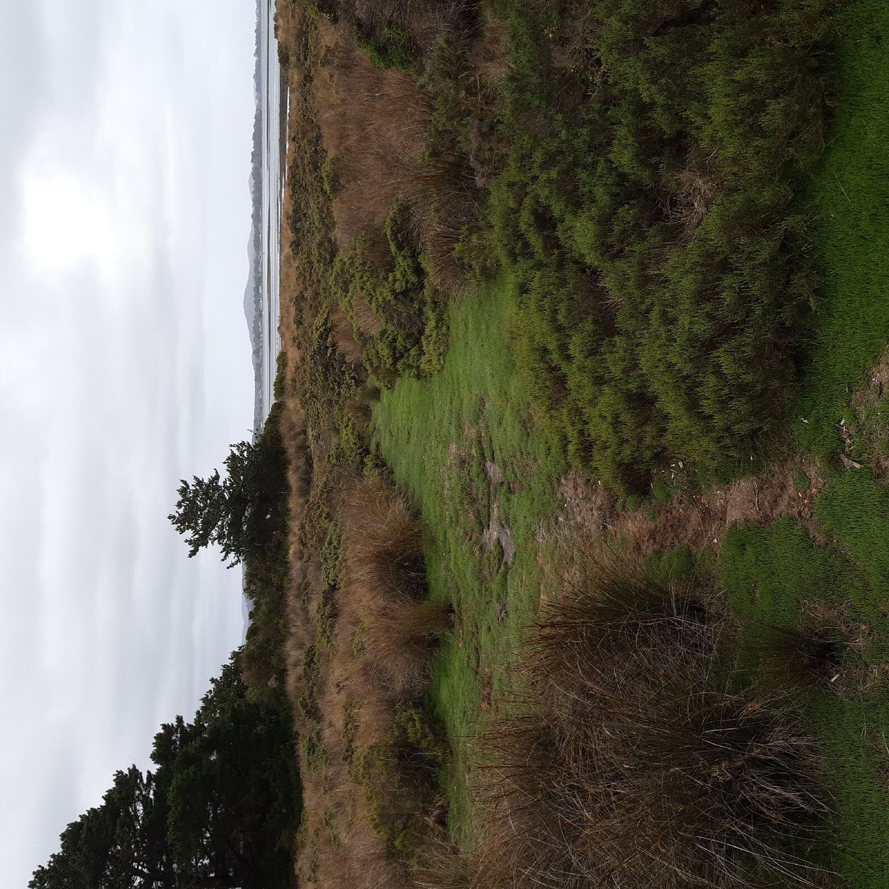
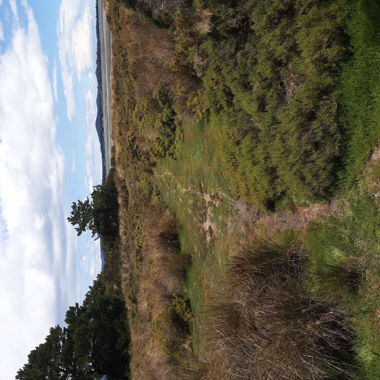
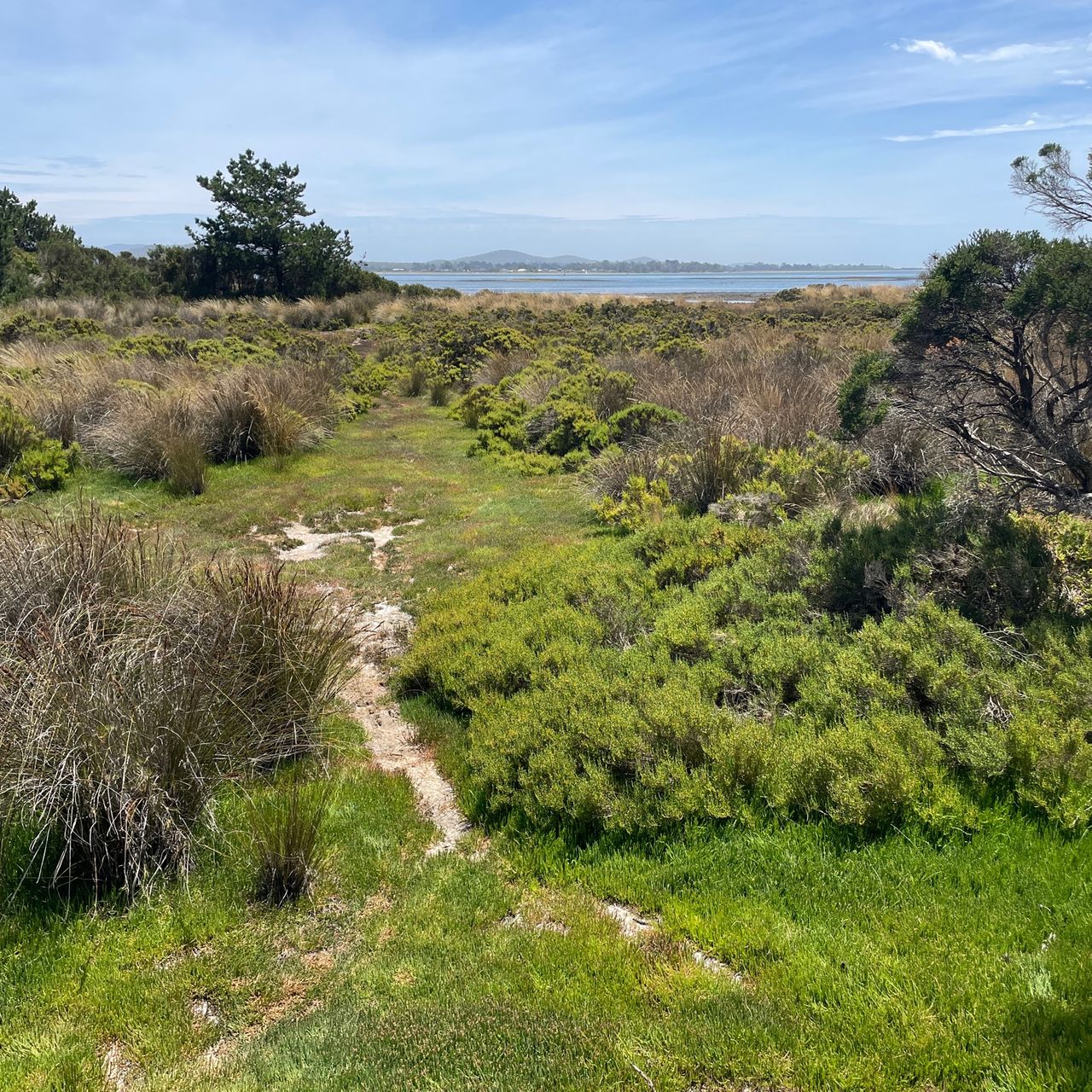
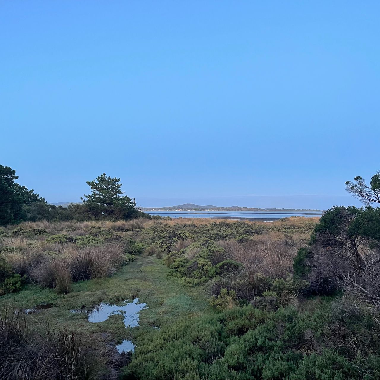
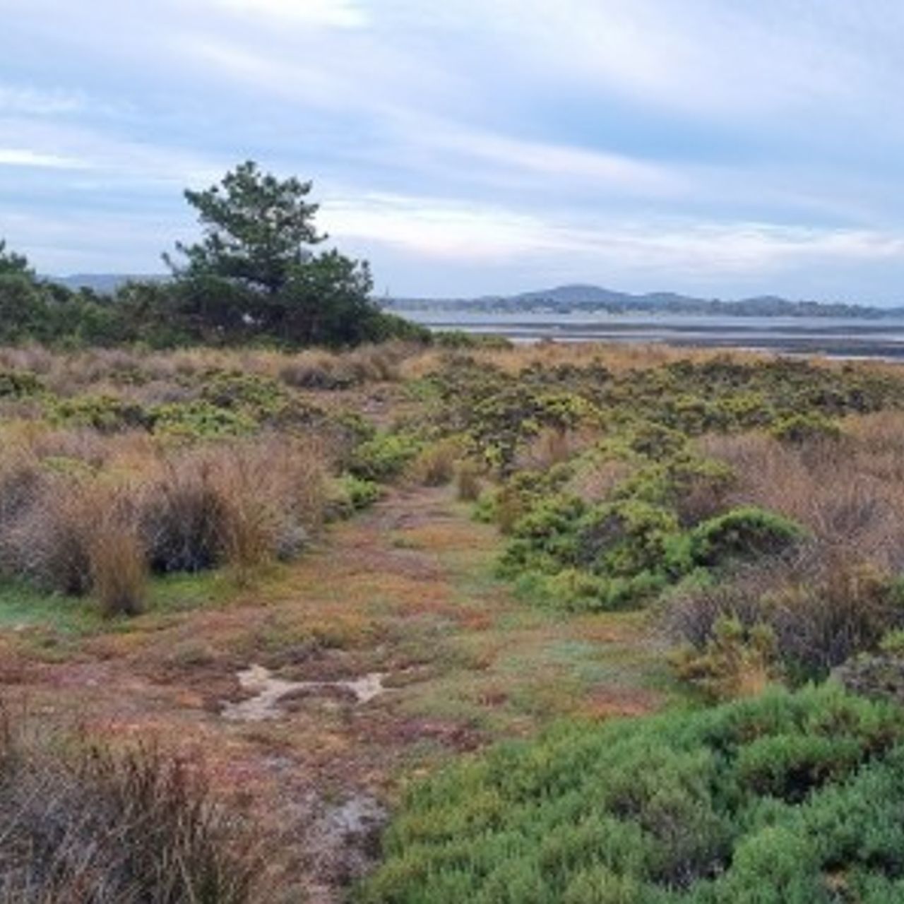
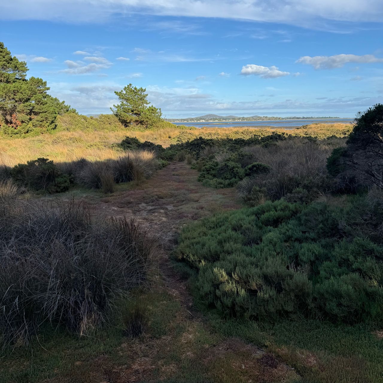
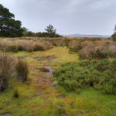
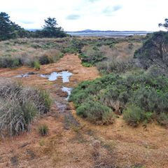
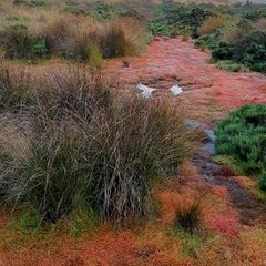
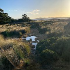
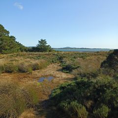
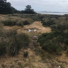
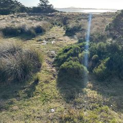
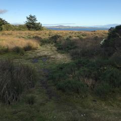
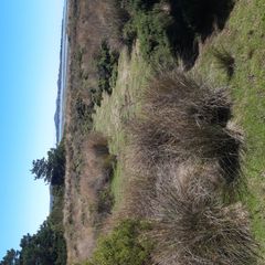
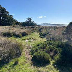
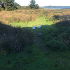
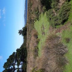
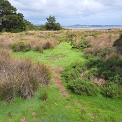
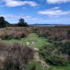
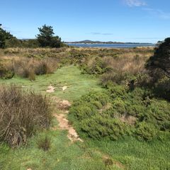
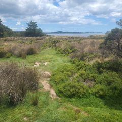
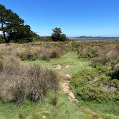
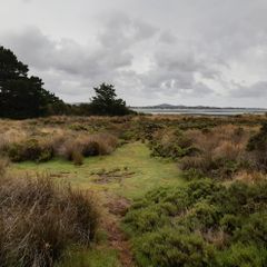
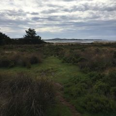
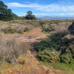
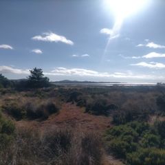
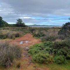
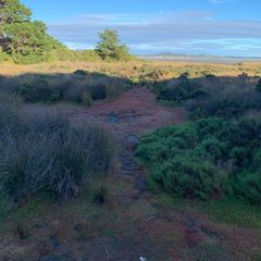
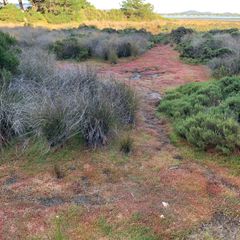
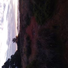
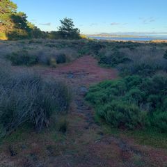
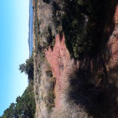
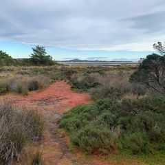
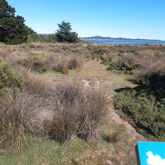
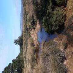
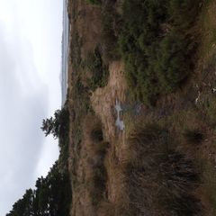
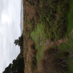
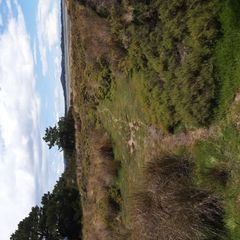
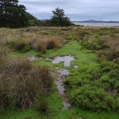
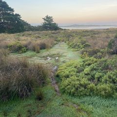
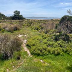
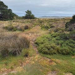
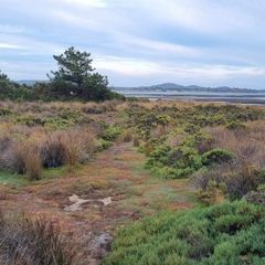
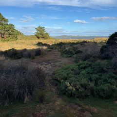
This Fluker Post is located on a wooden footbridge along the kanamaluka Trail, a short distance north of the end of Esplanade North Road, within the George Town Council Local Government Area. The post faces west, taking in a view of Succulent Saline Herbland, containing a variety of saltmarsh species. The centre strip in the image is the scar of an old vehicle track running into the marsh. It is dominated by Beaded Glasswort (Sarcocornia quinqueflora) and Australian Saltgrass (Distichlis distichophylla). Taller saltmarsh species such as the darker green Shrubby Glasswort (Tecticornia arbuscula) and tussock forming Chaffy Sawsedge (Gahnia filum) can be see flanking either side of the old track scar. The purpose of this Fluker Post is to document vegetation recovery after disturbance from the vehicle track, as well as changes due to global drivers, such as sea level rise. For more information on the natural values and ecological health of the kanamaluka / Tamar estuary, visit https://www.teer.org.au/.