
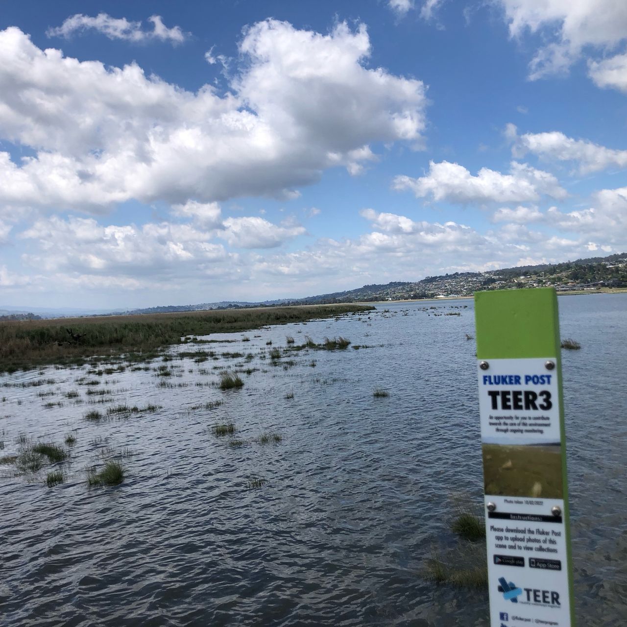
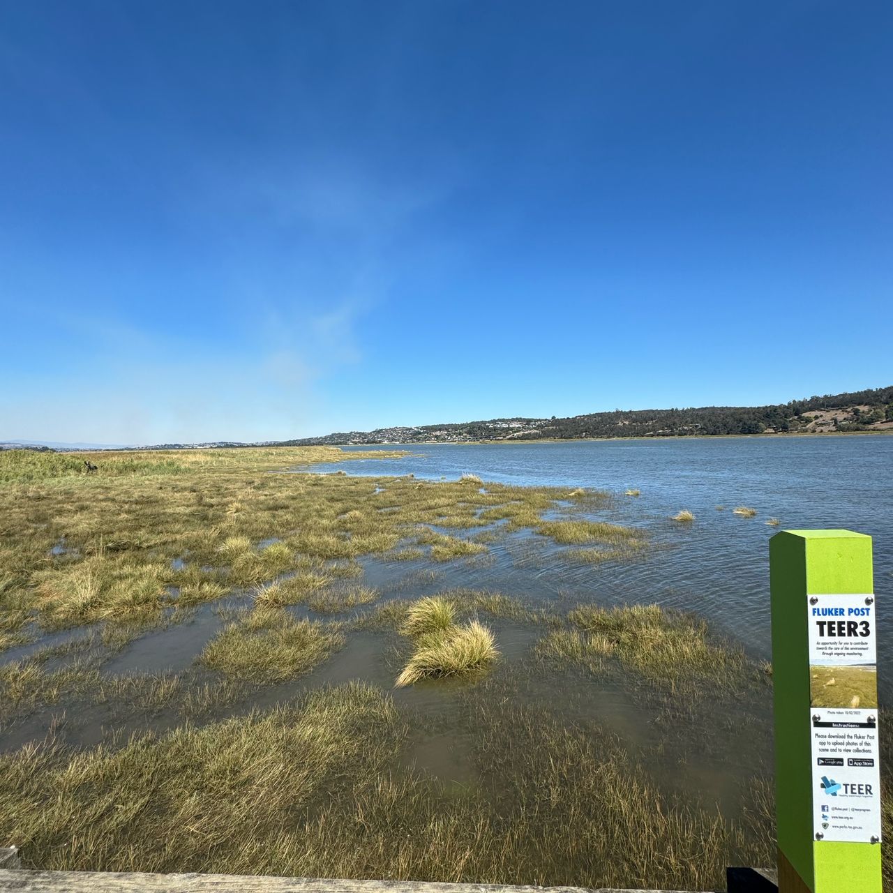
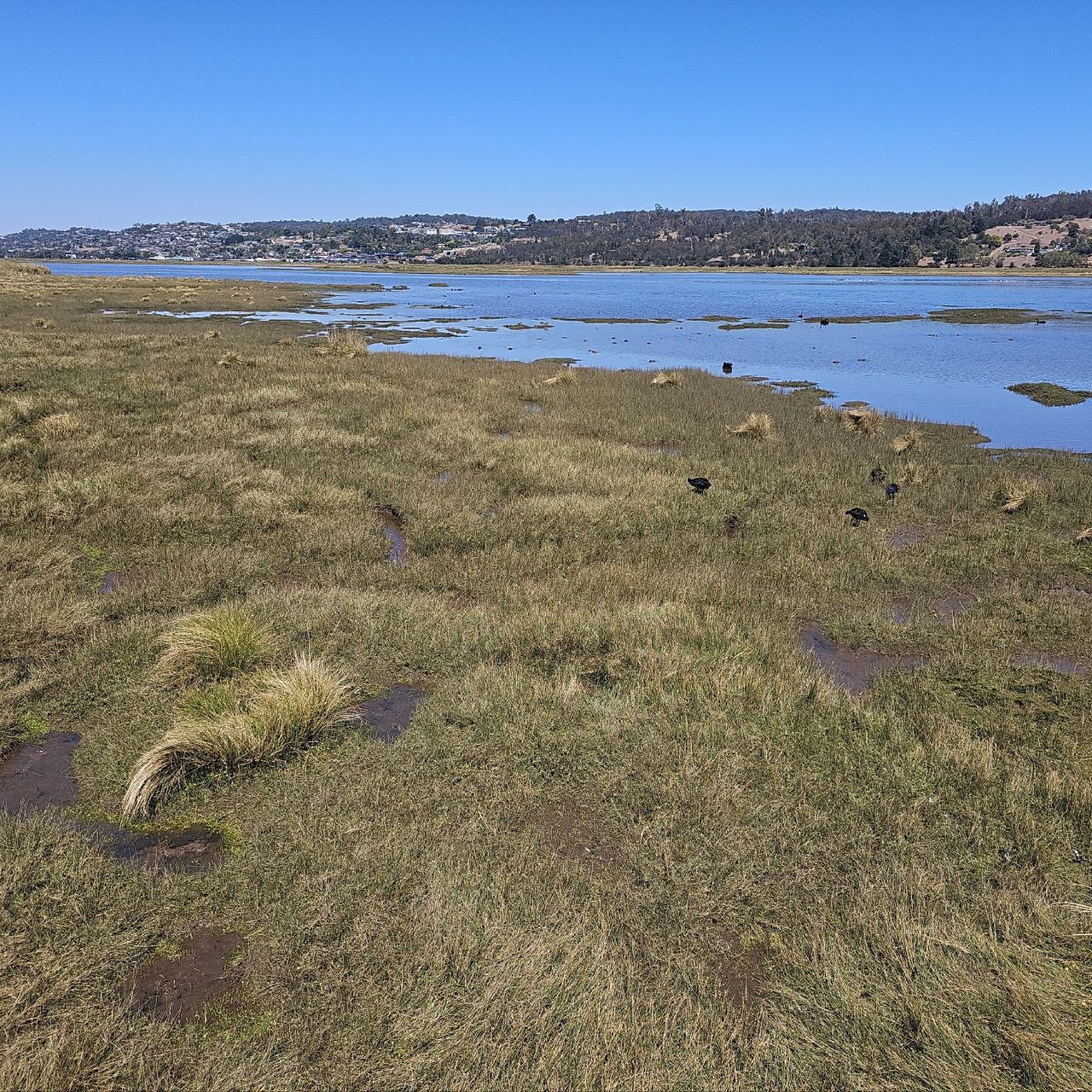
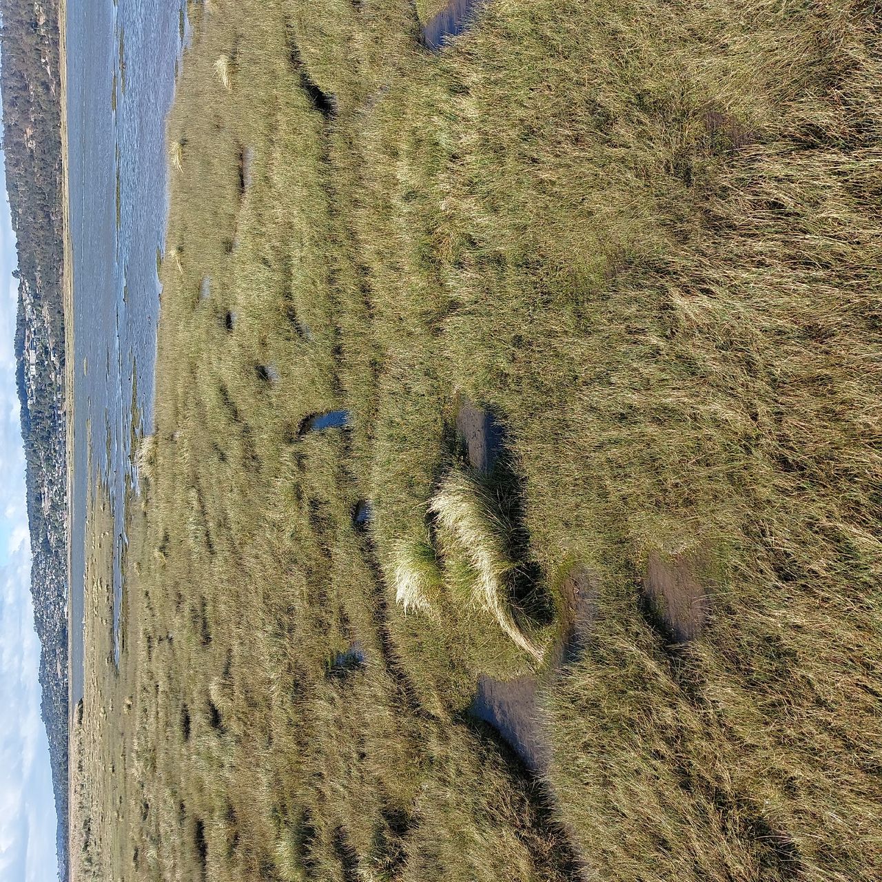
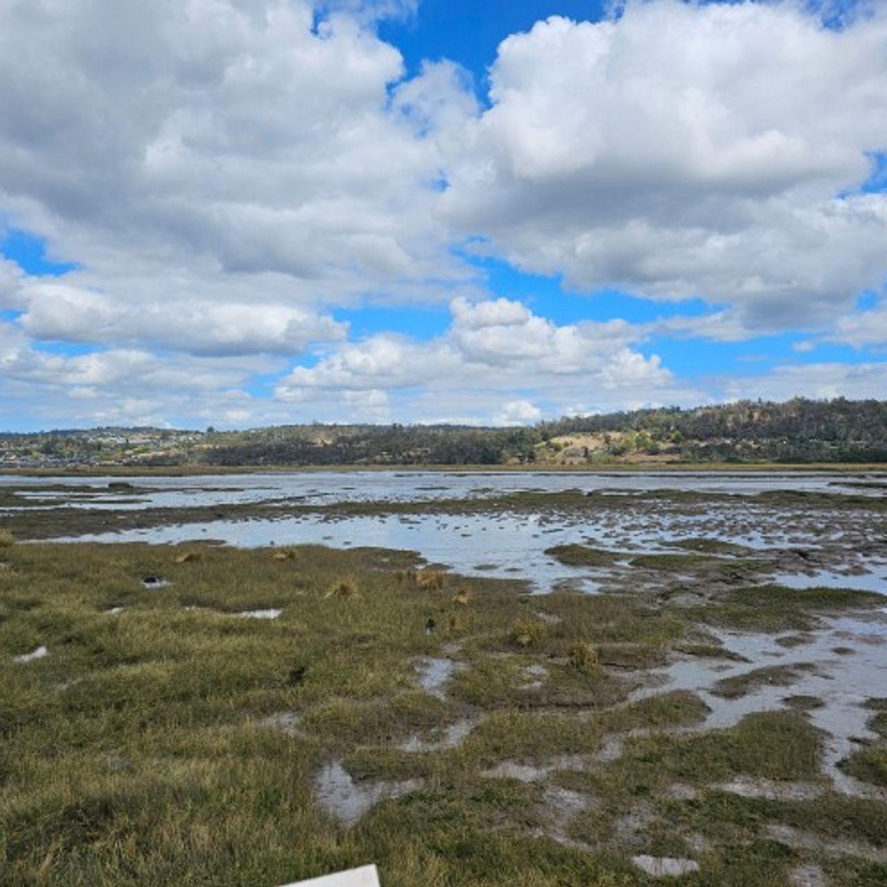
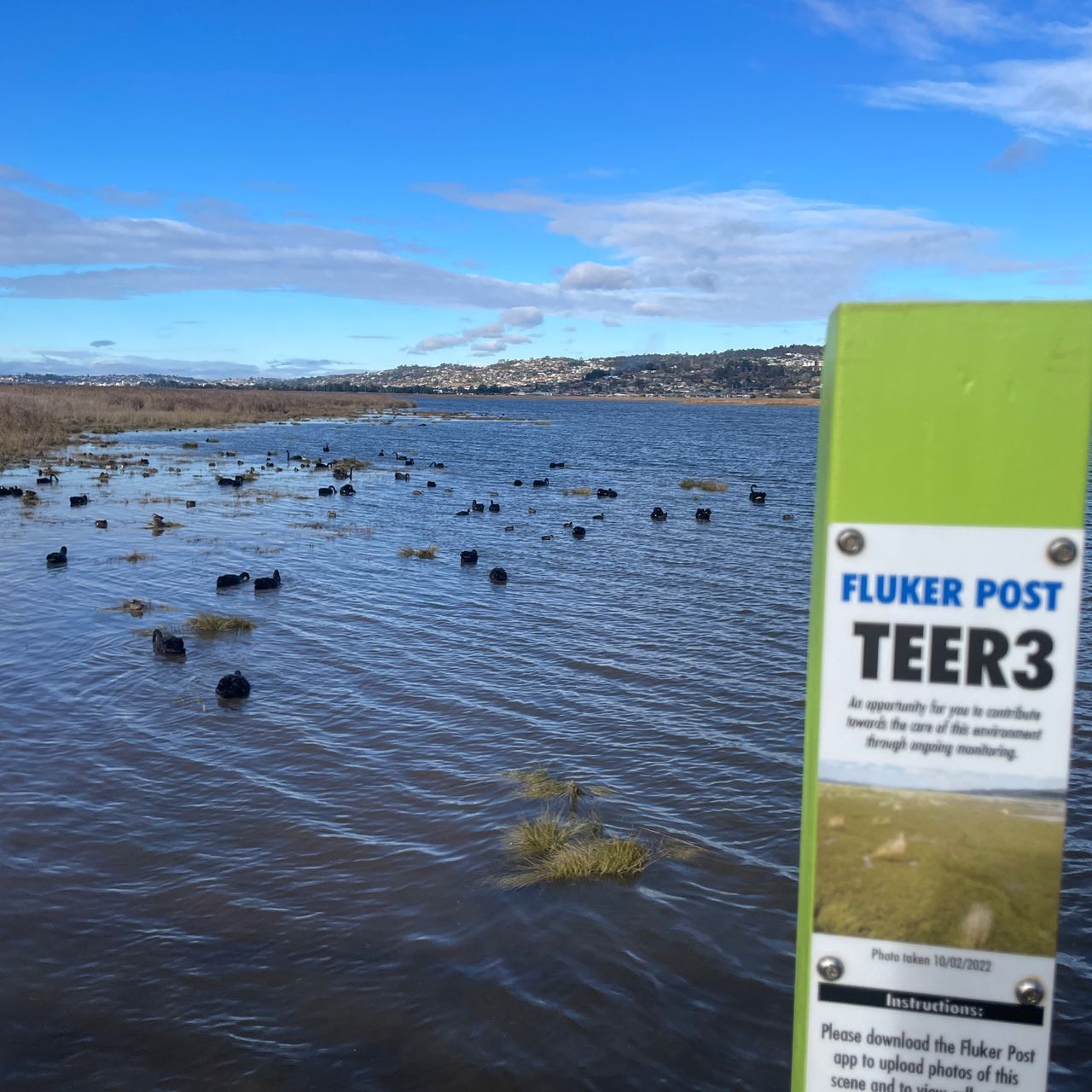
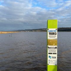
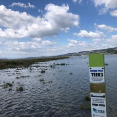
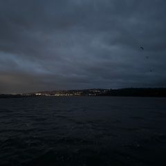
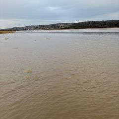
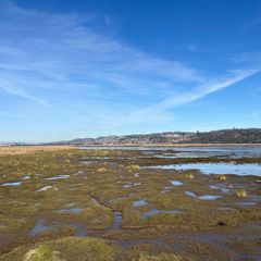
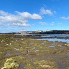
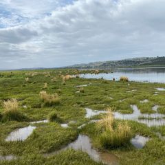
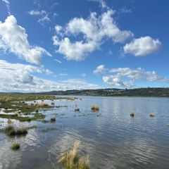
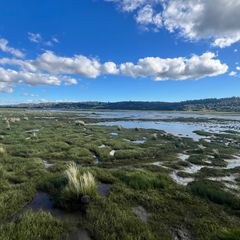
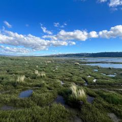
TEER3 Tamar Island Walkway
Kanamaluka / Tamar Estuary
3
Years
160
Photos


2022

2023


2024


2025


TEER3 Tamar Island Walkway
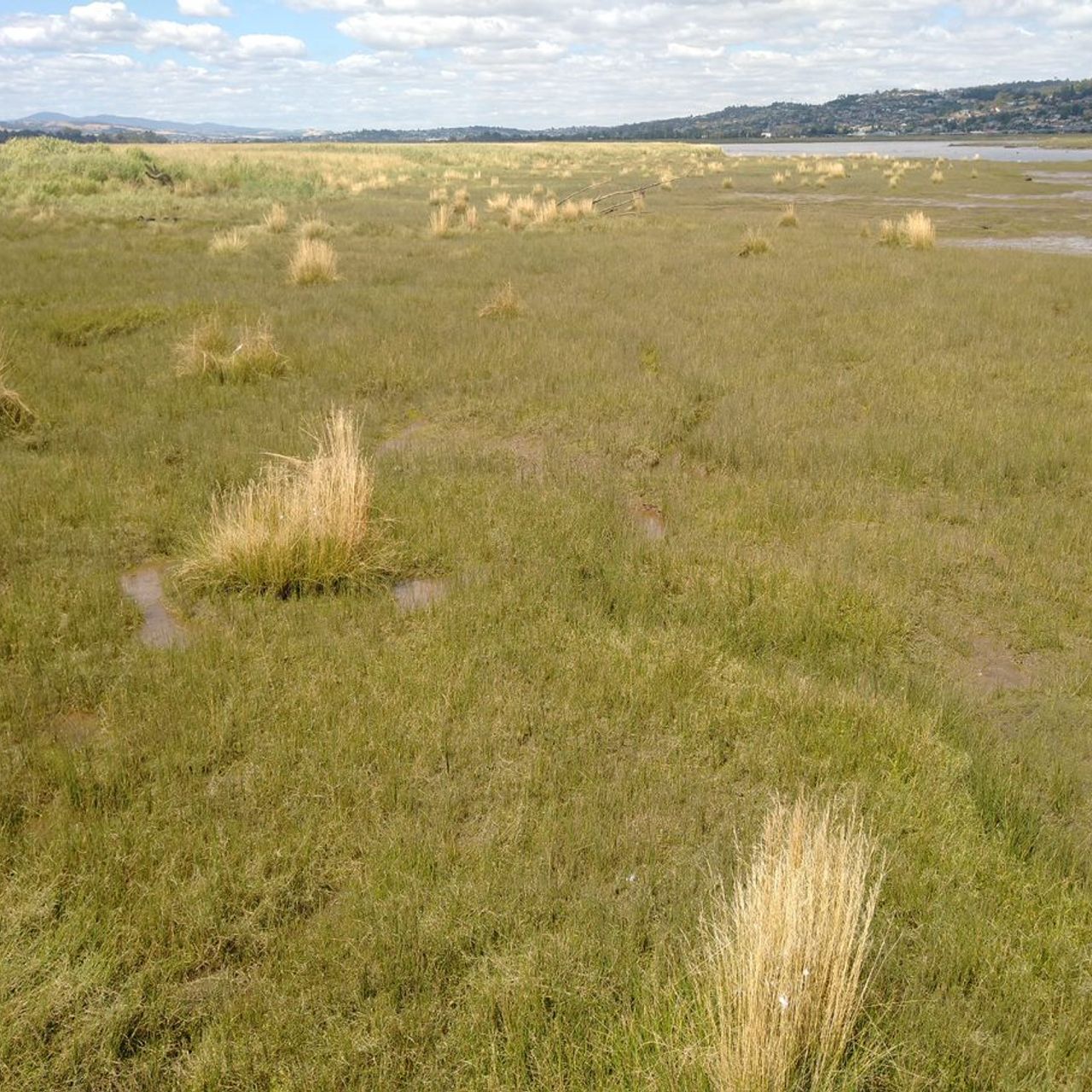
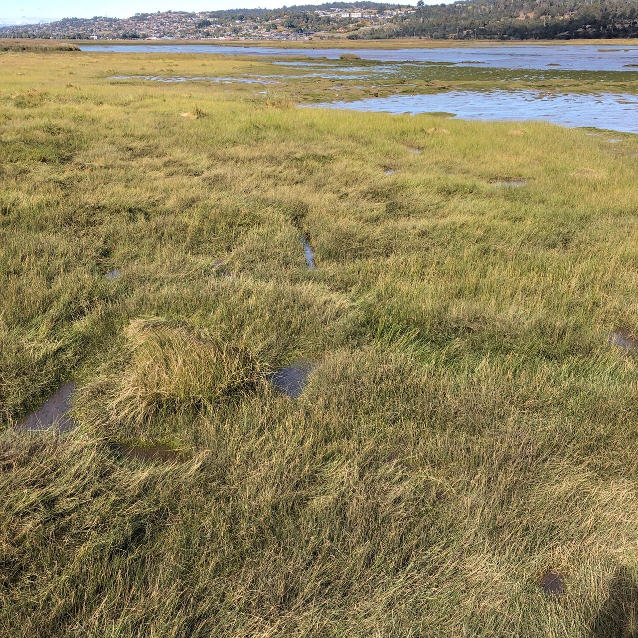
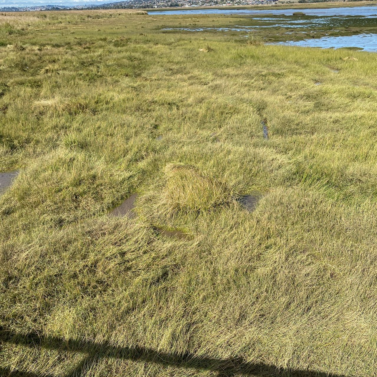
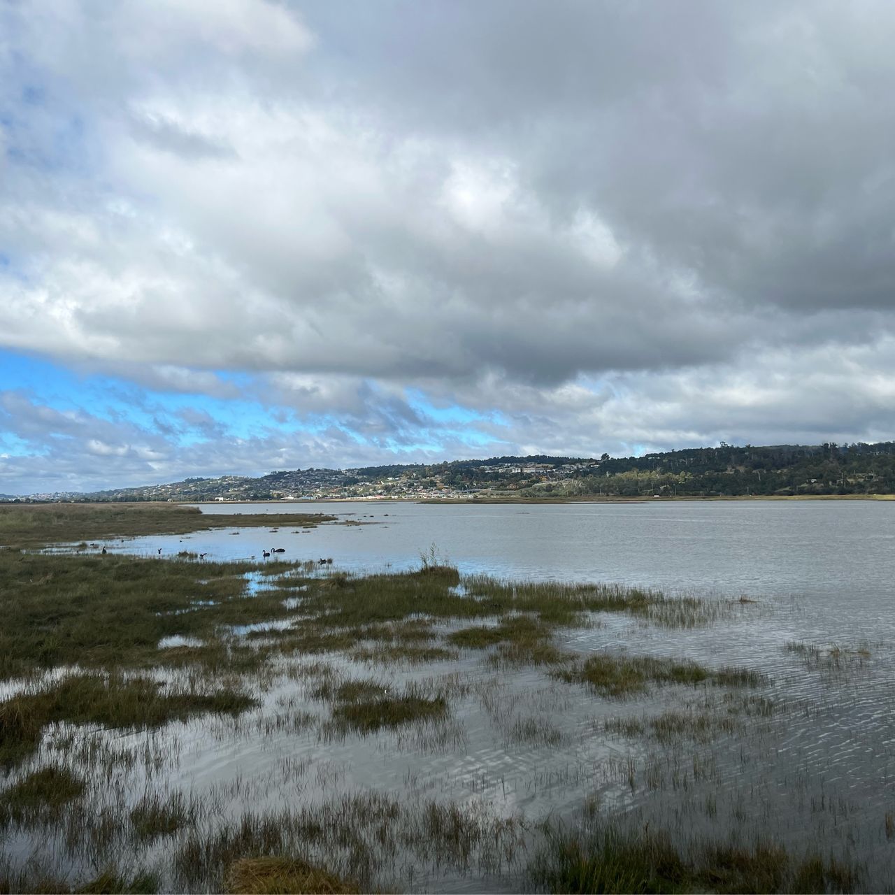
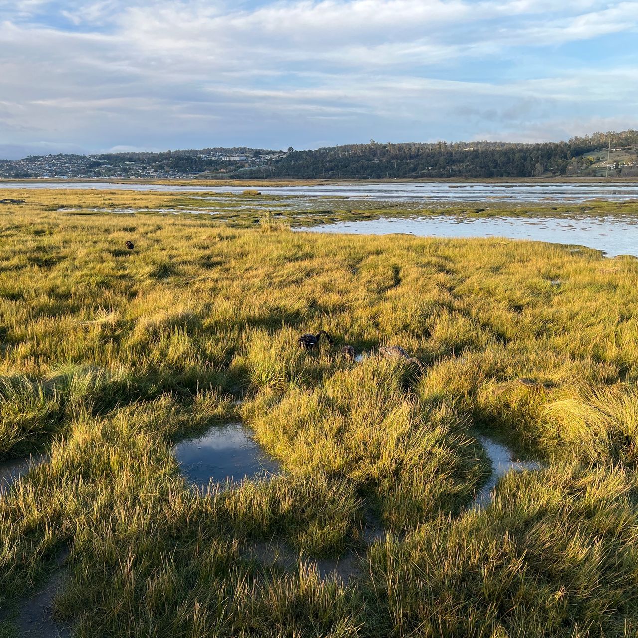
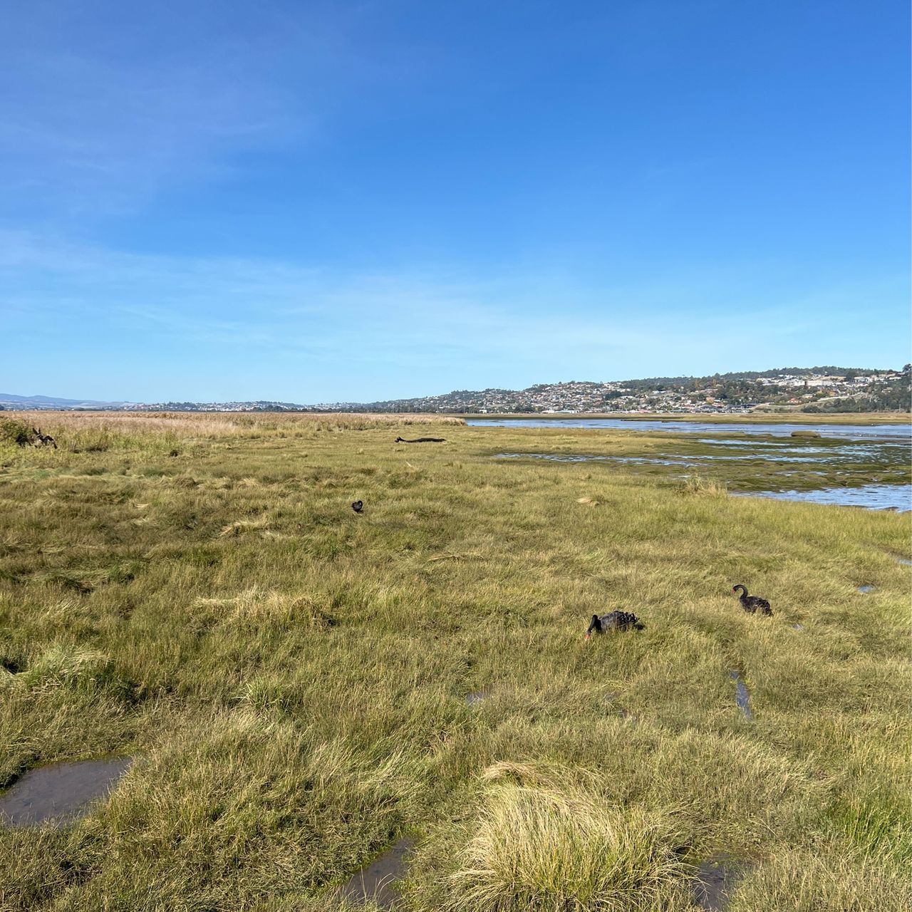
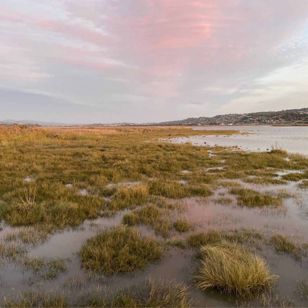
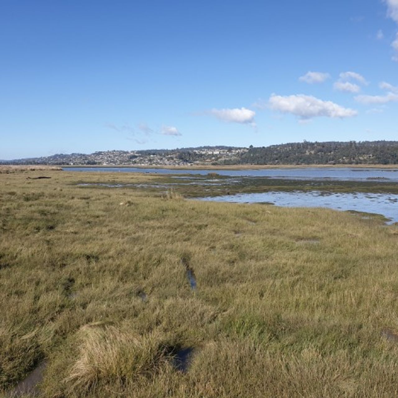
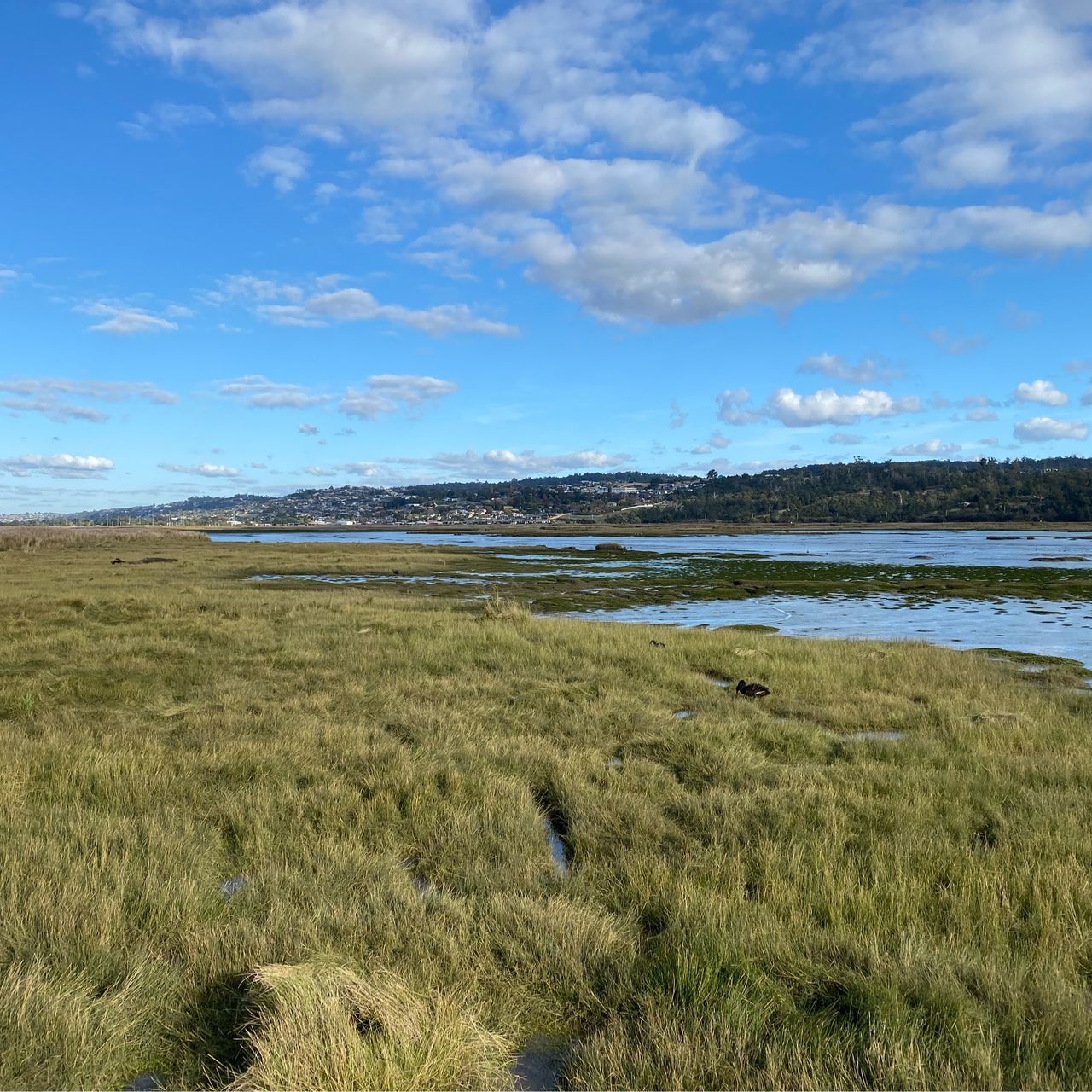
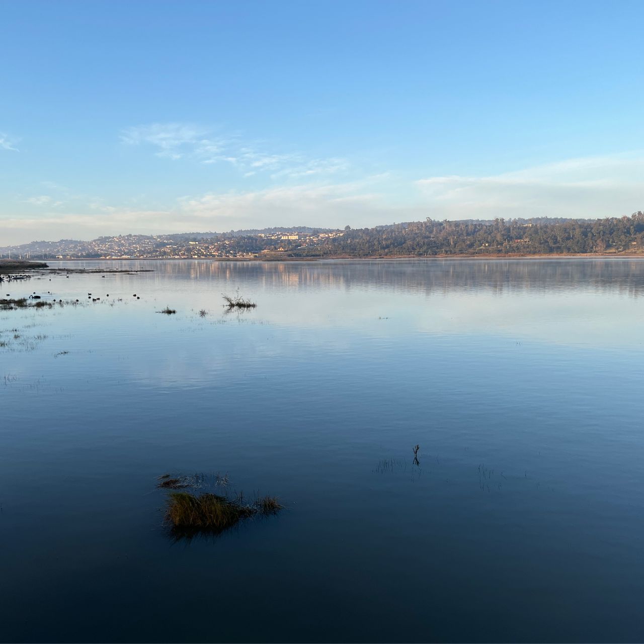
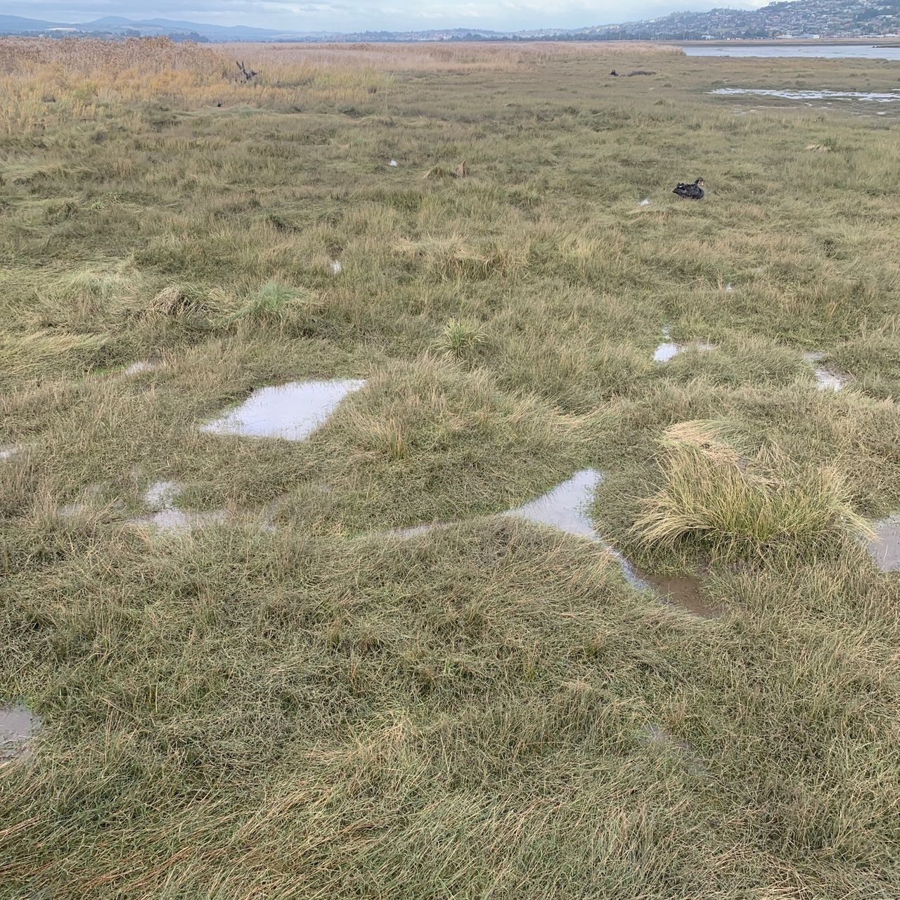
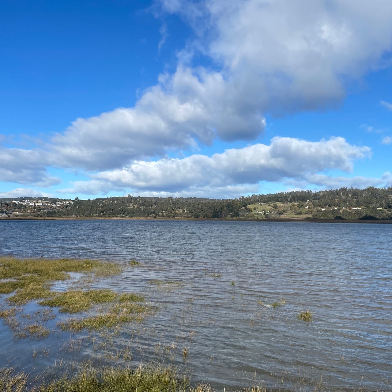
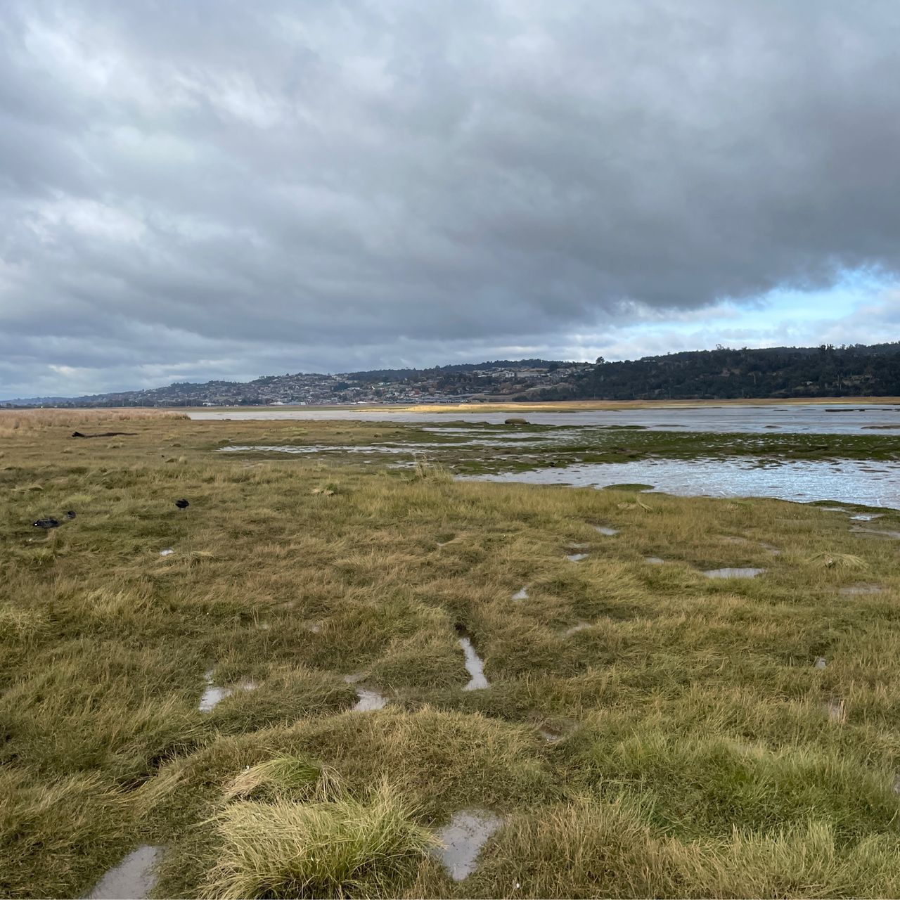
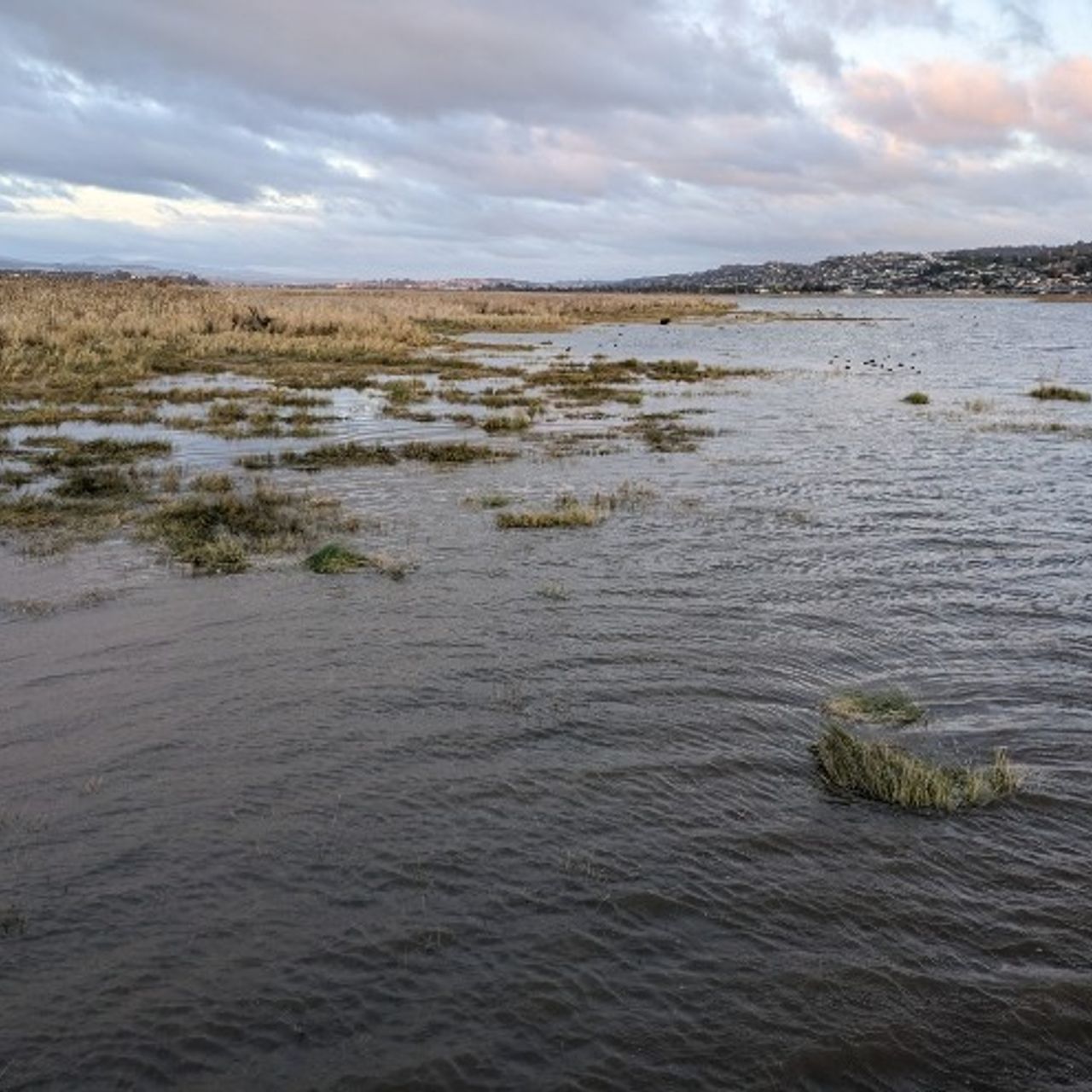
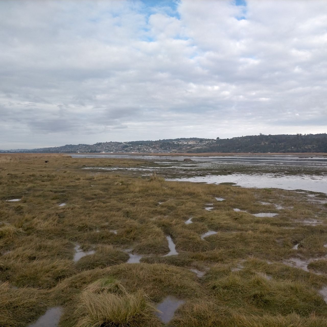
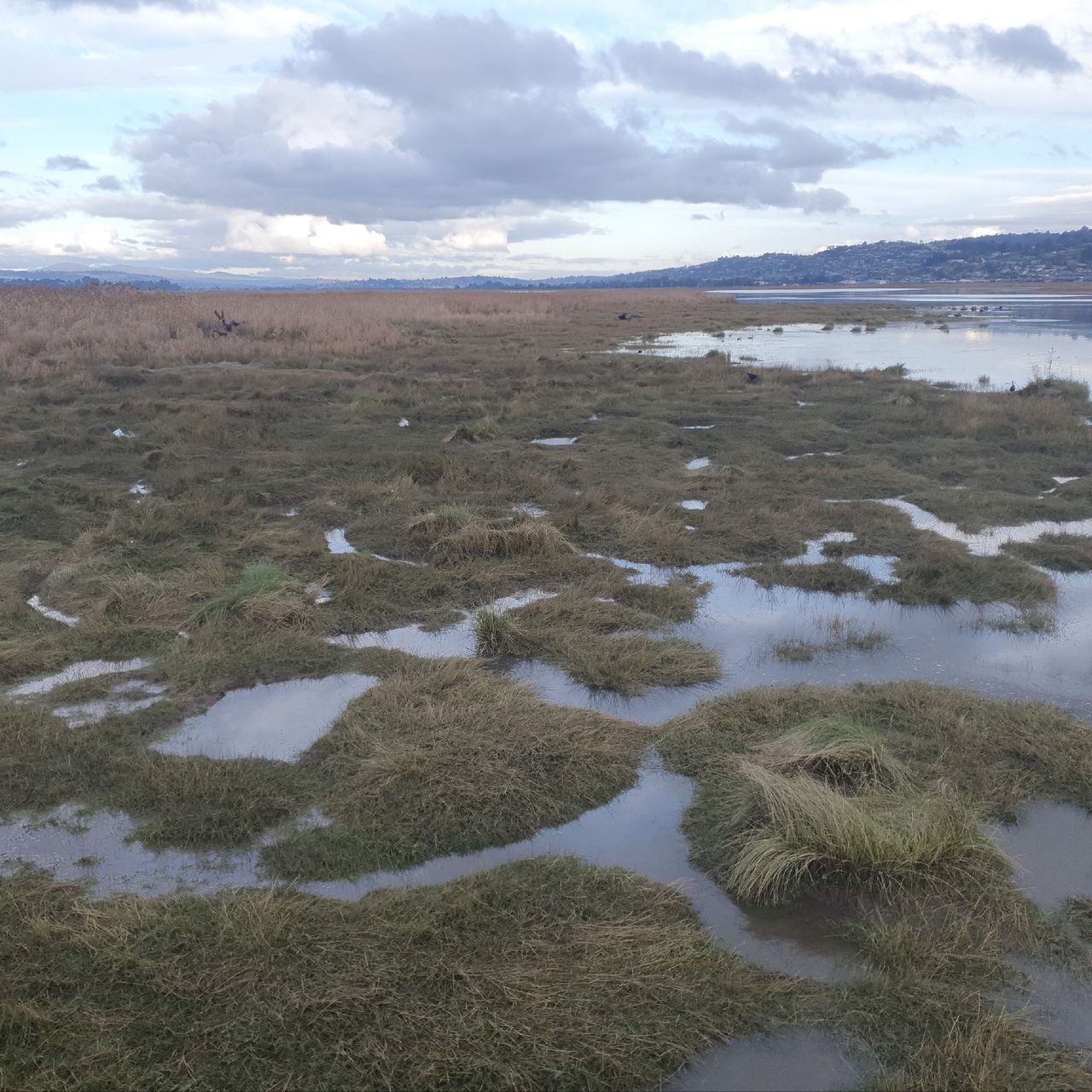
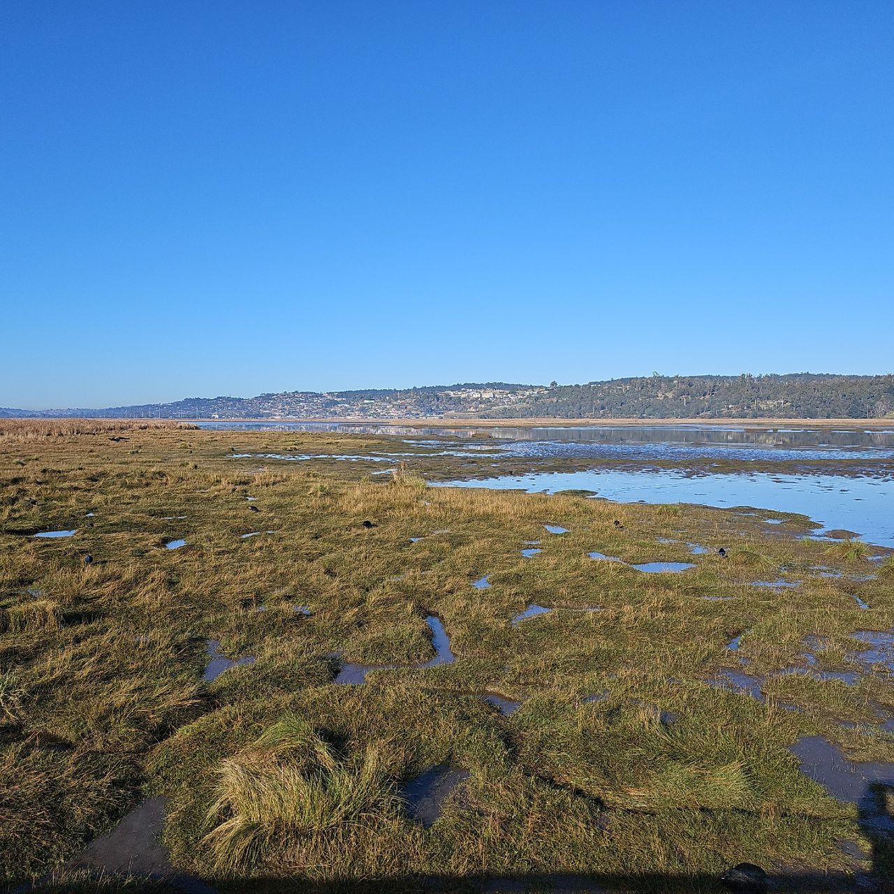
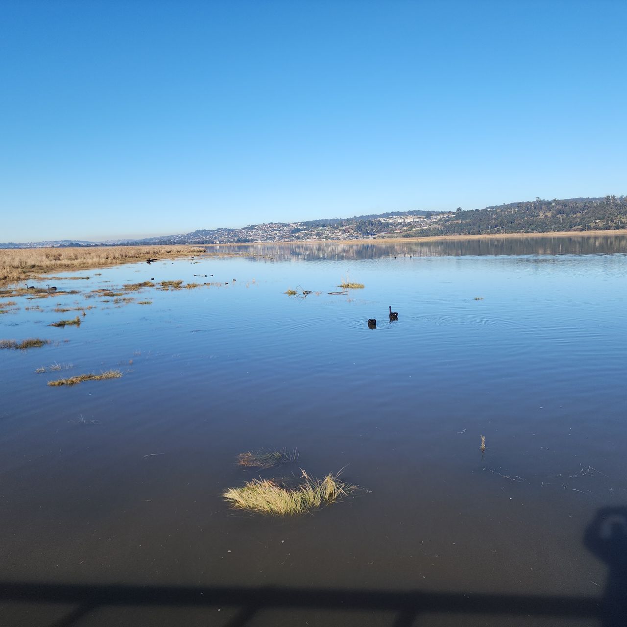
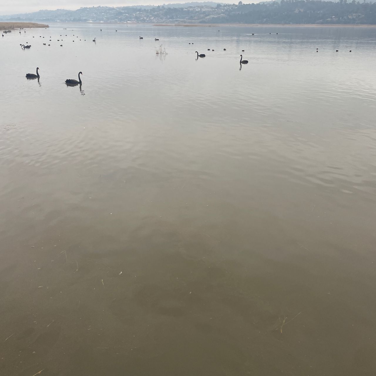
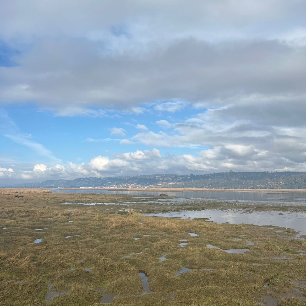
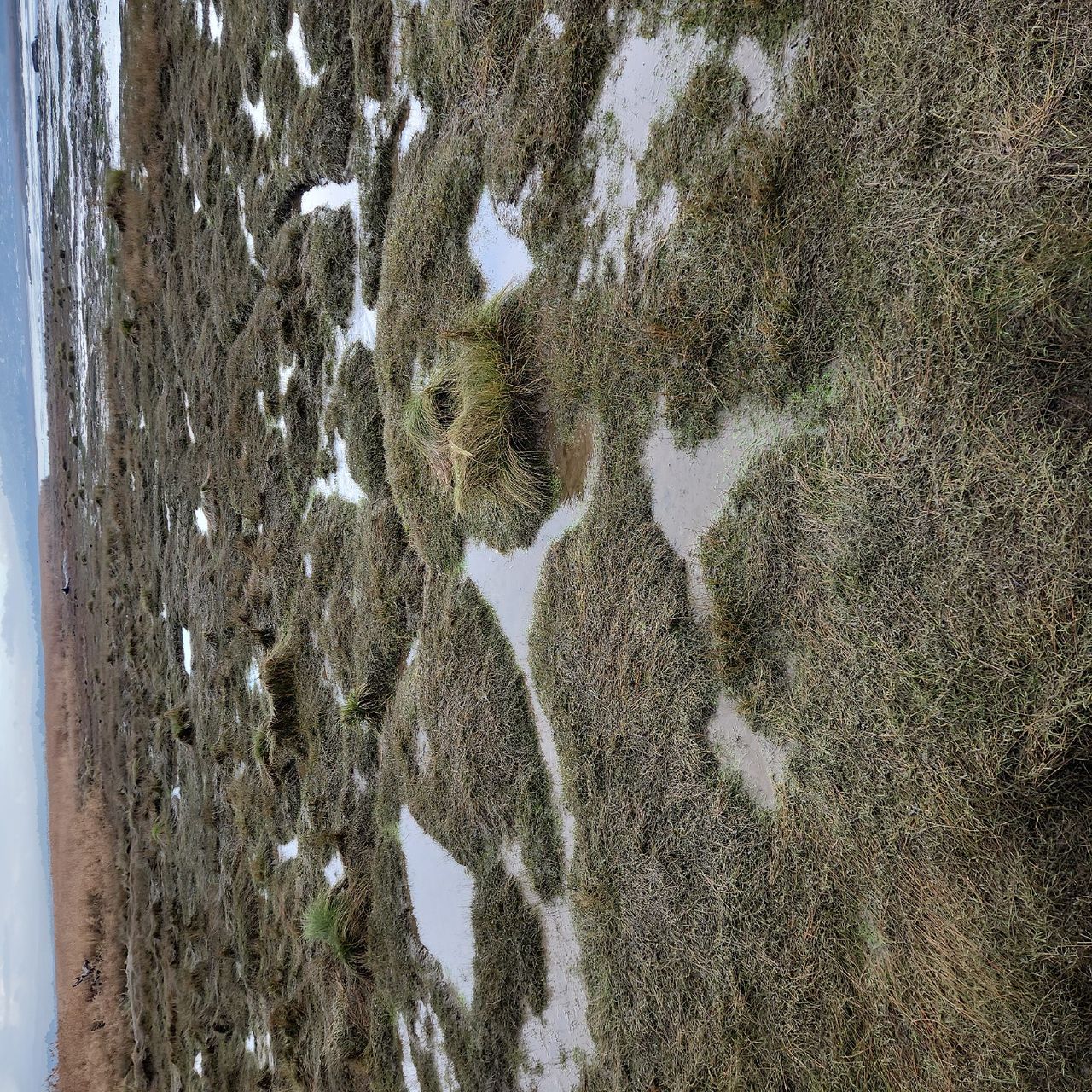
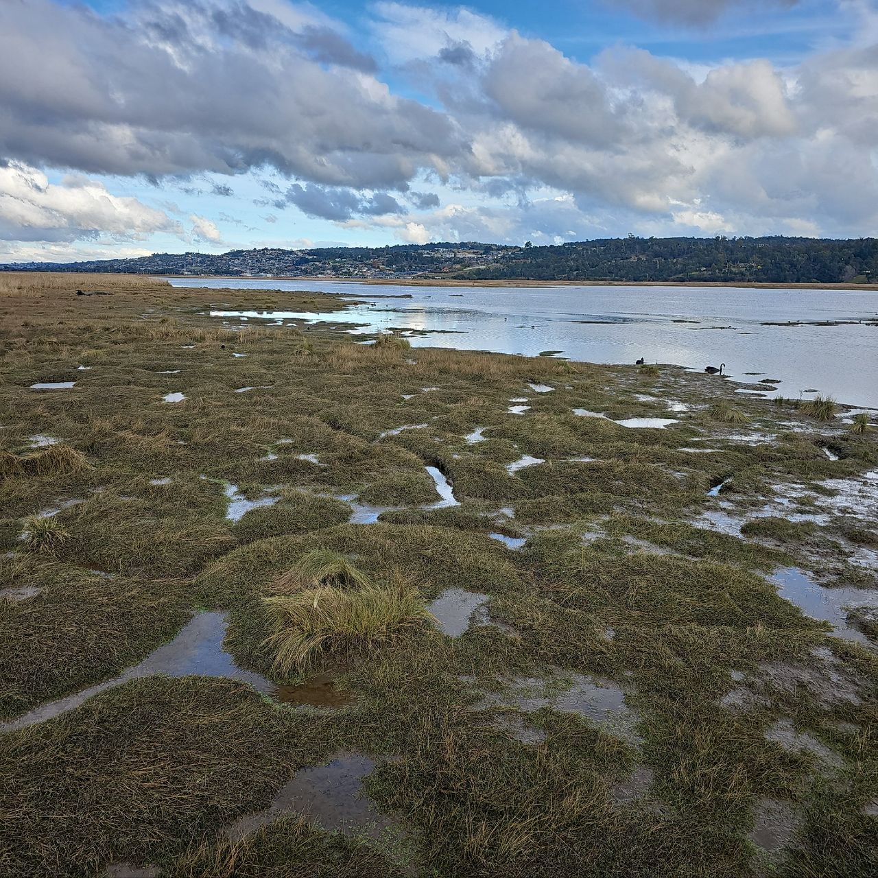
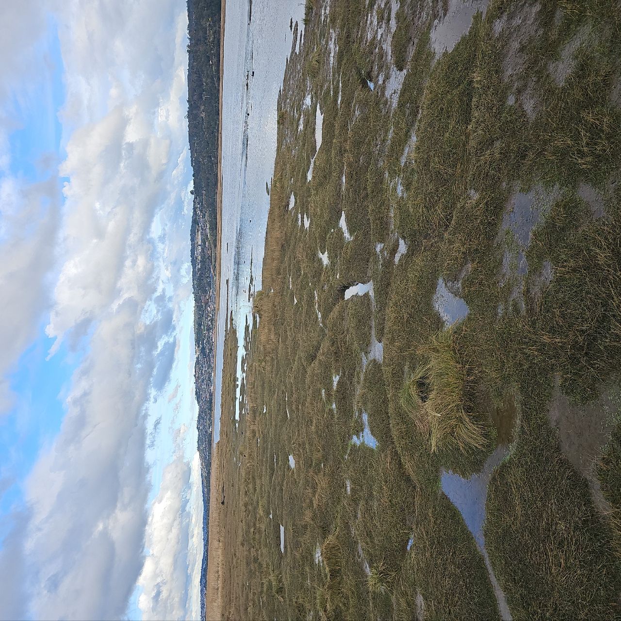
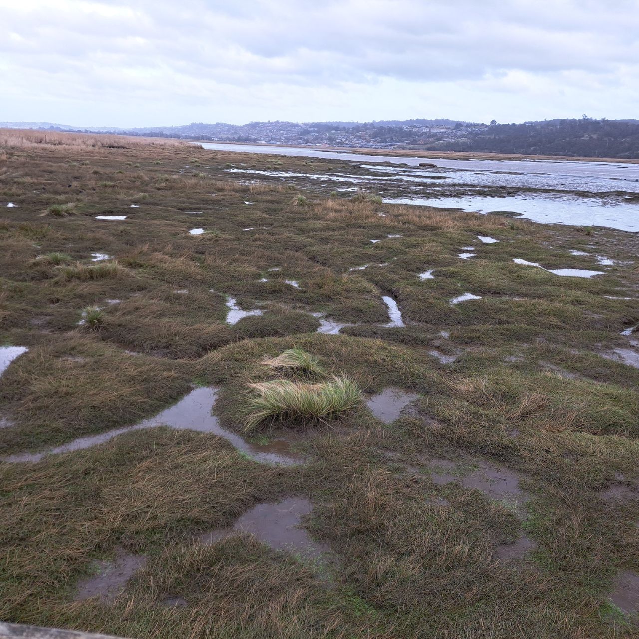
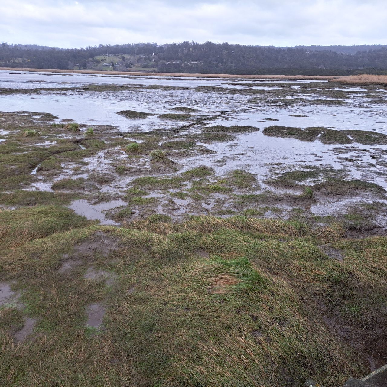
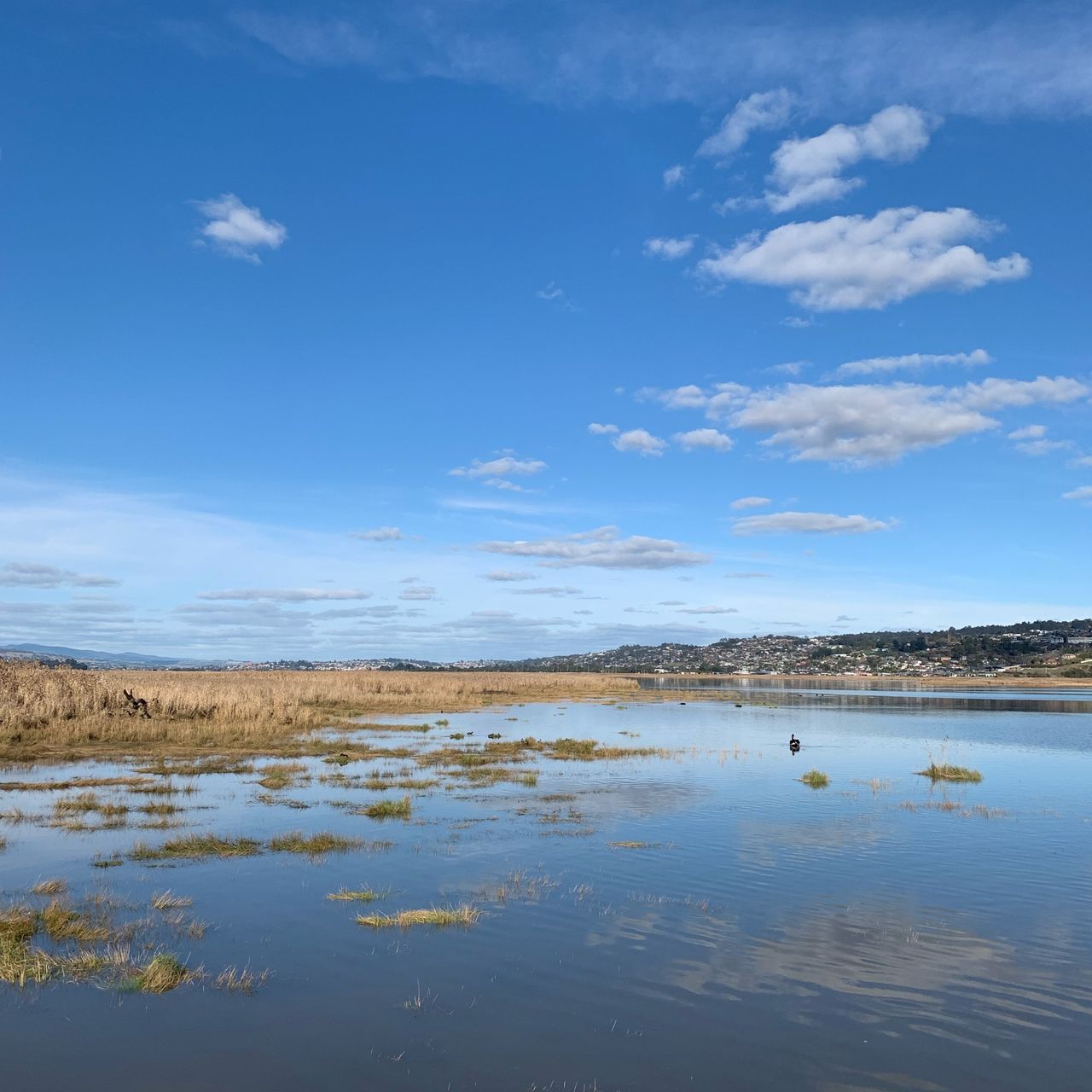
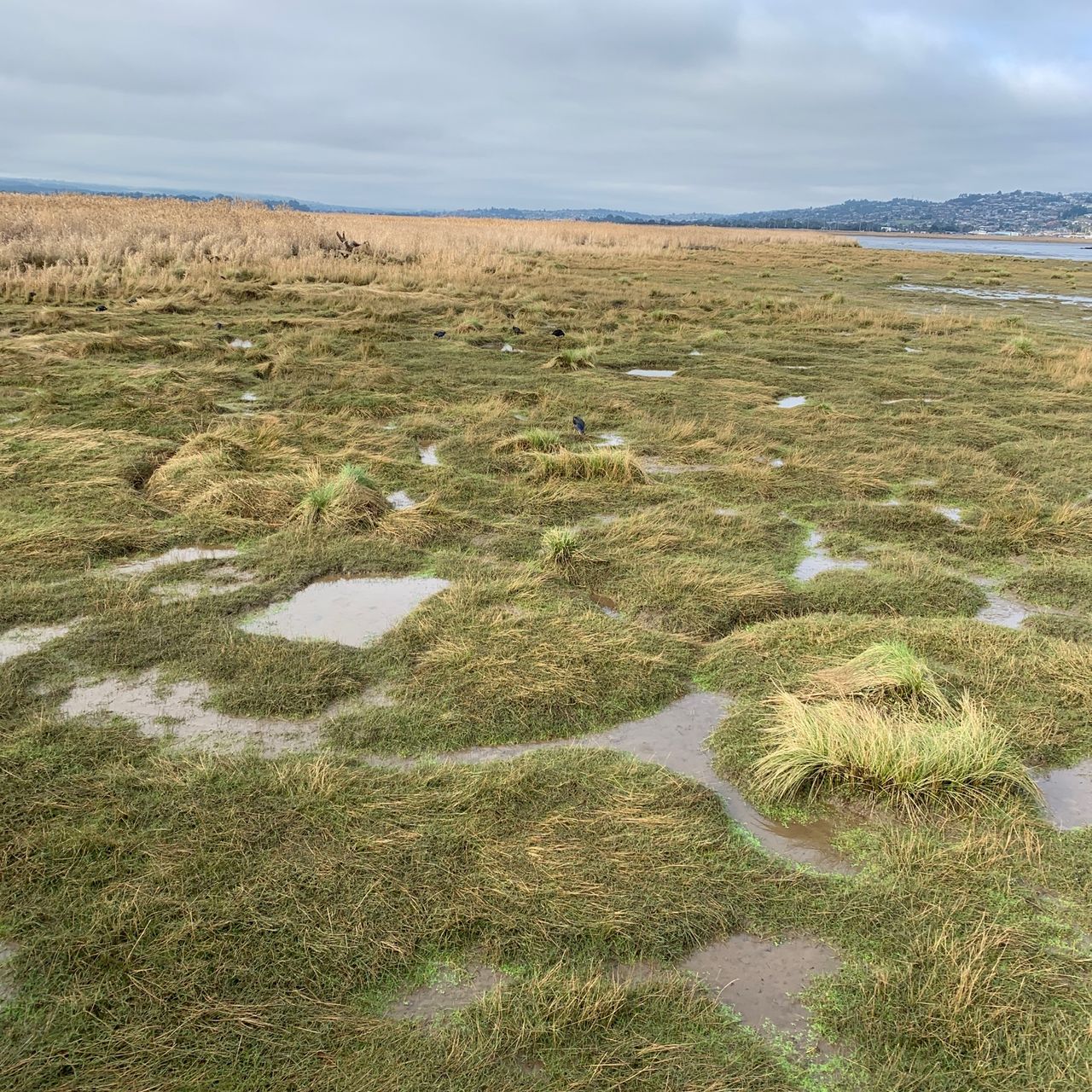
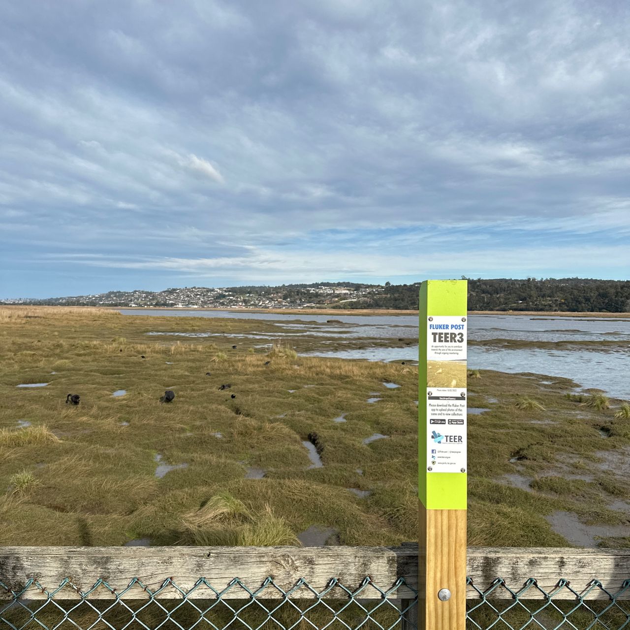
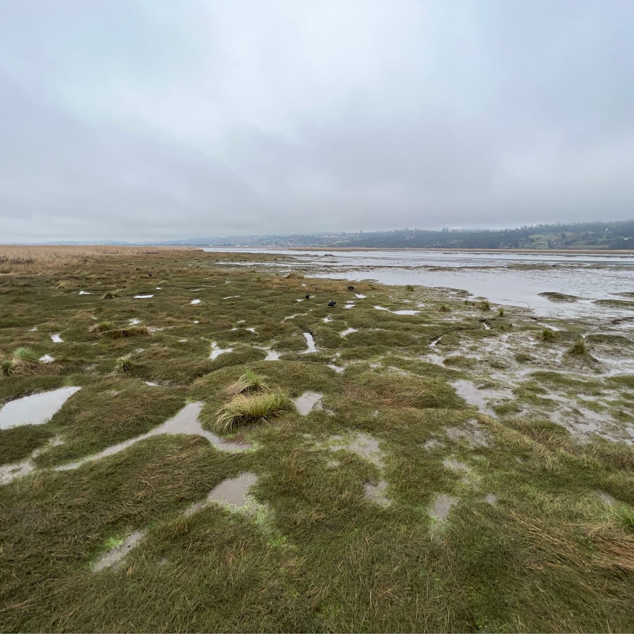
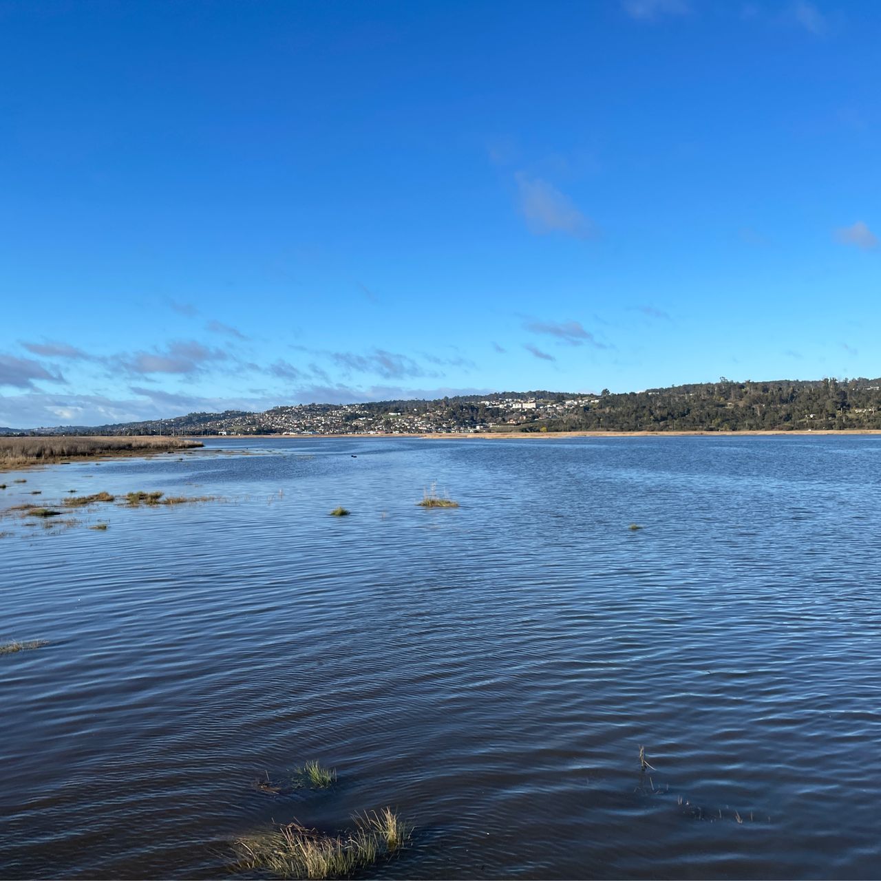
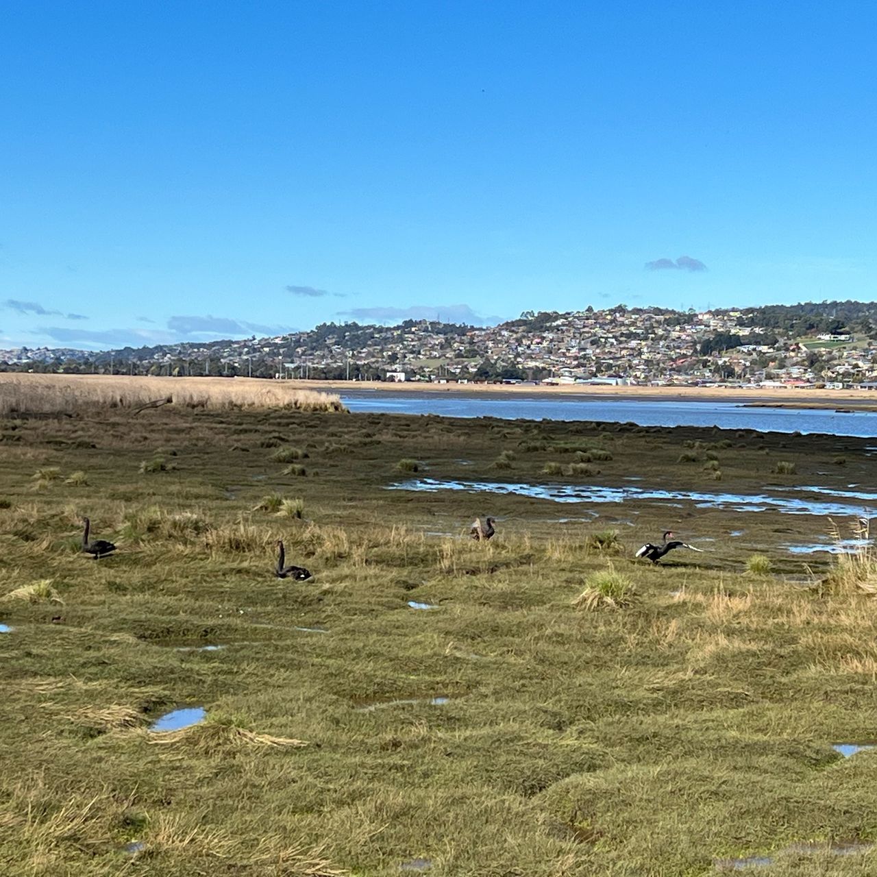
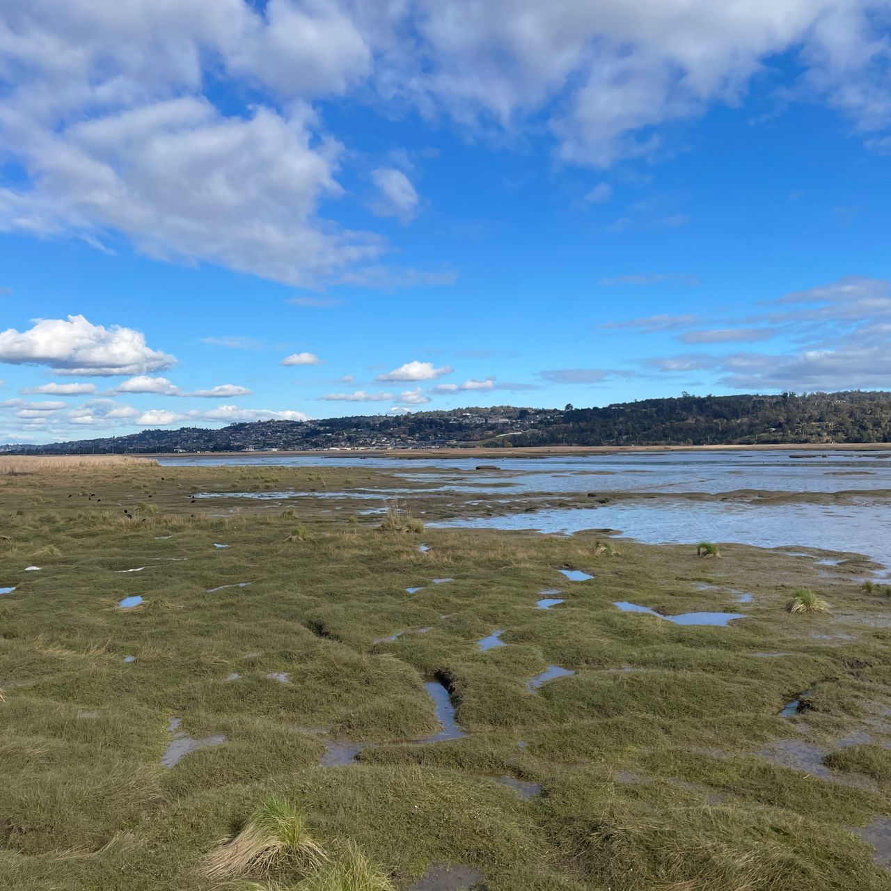
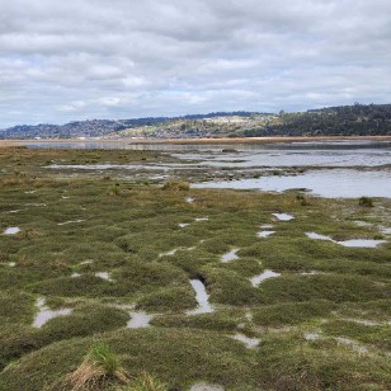
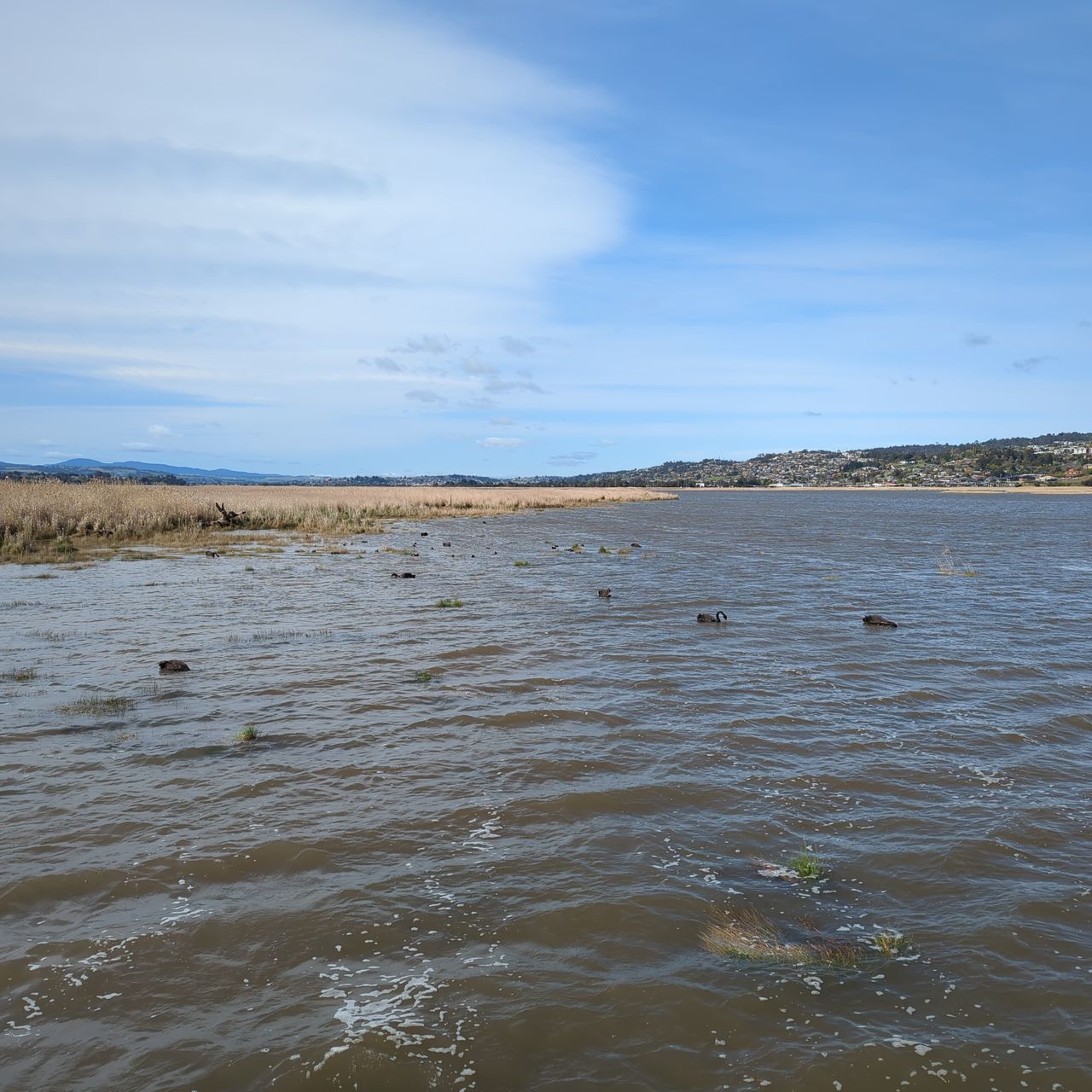
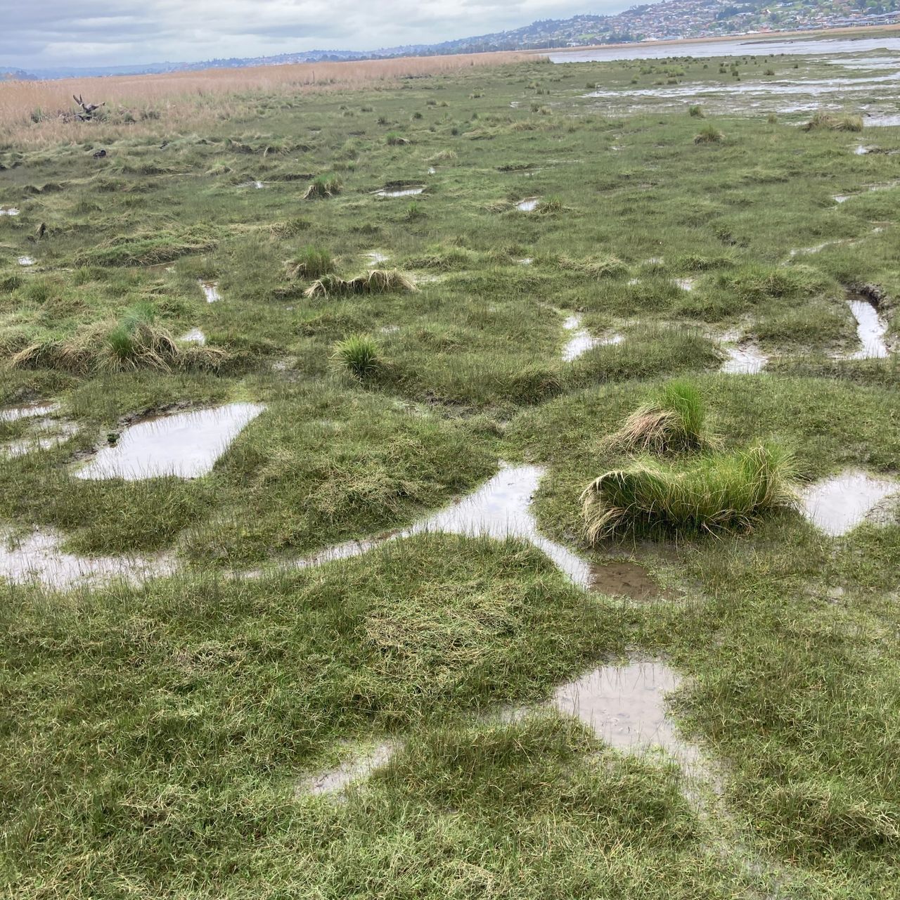
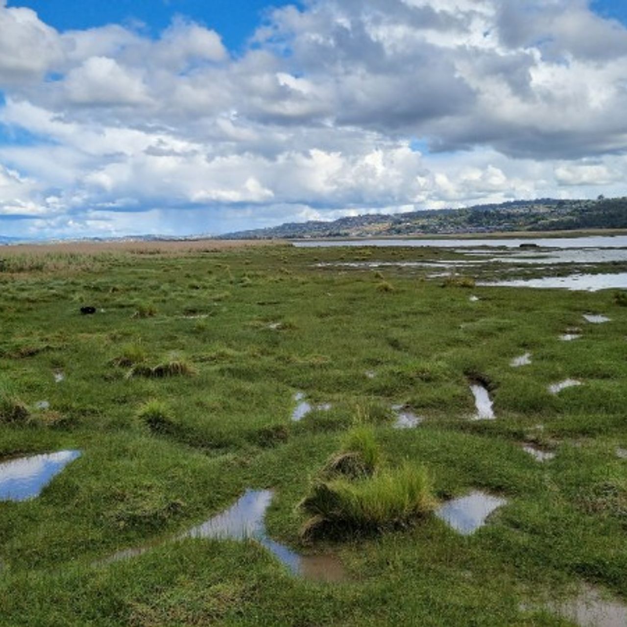
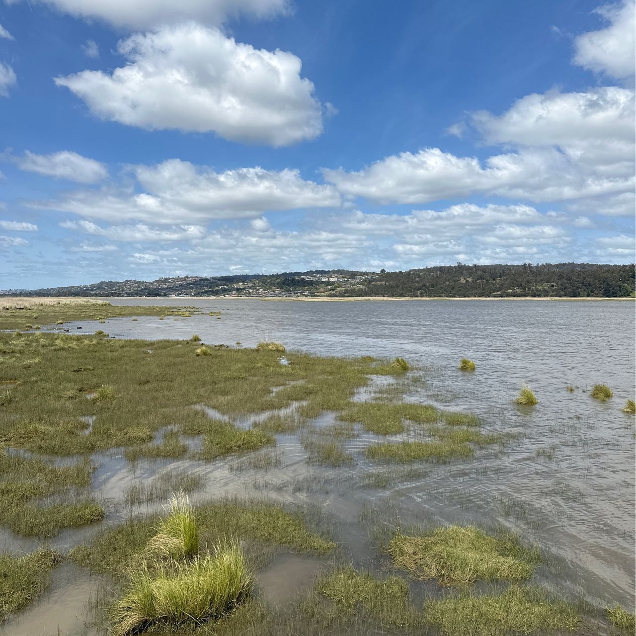
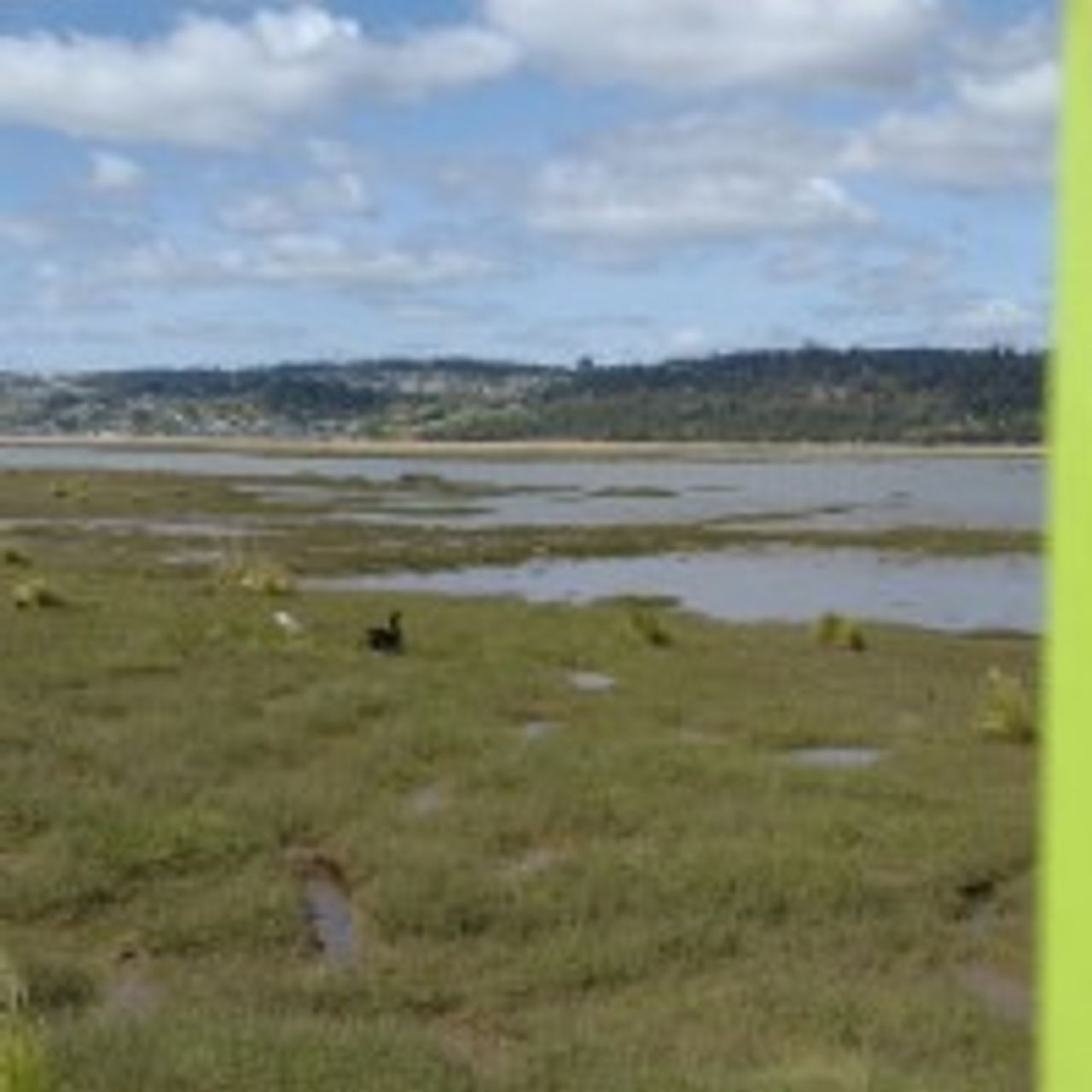
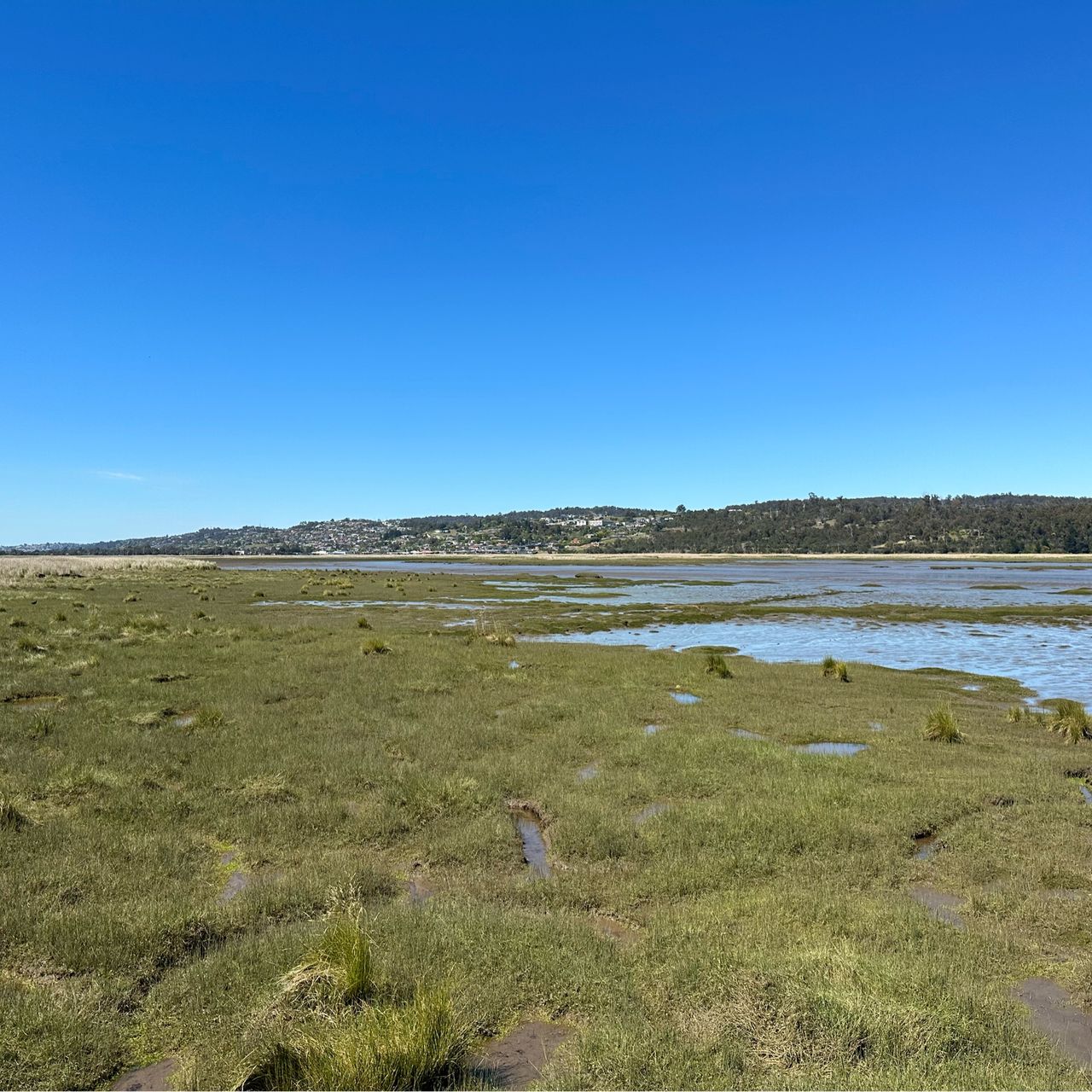
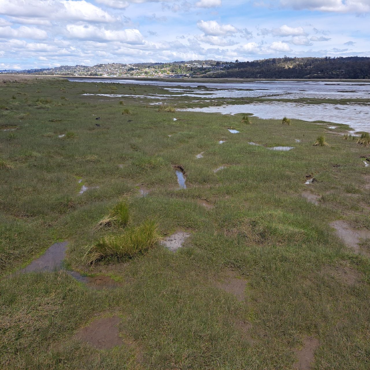
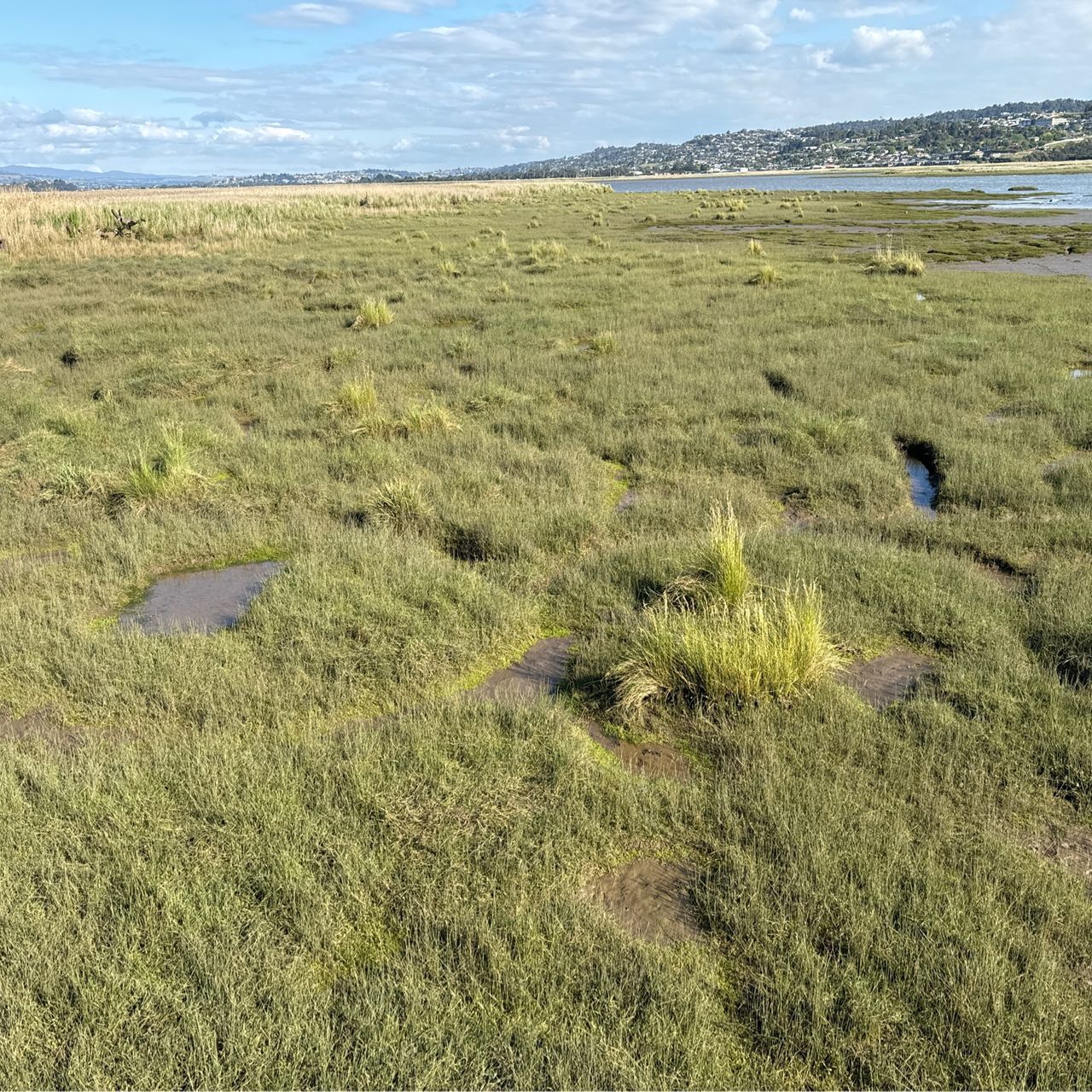
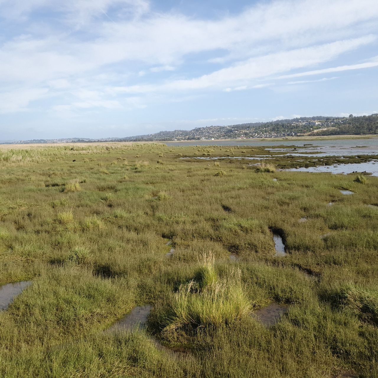
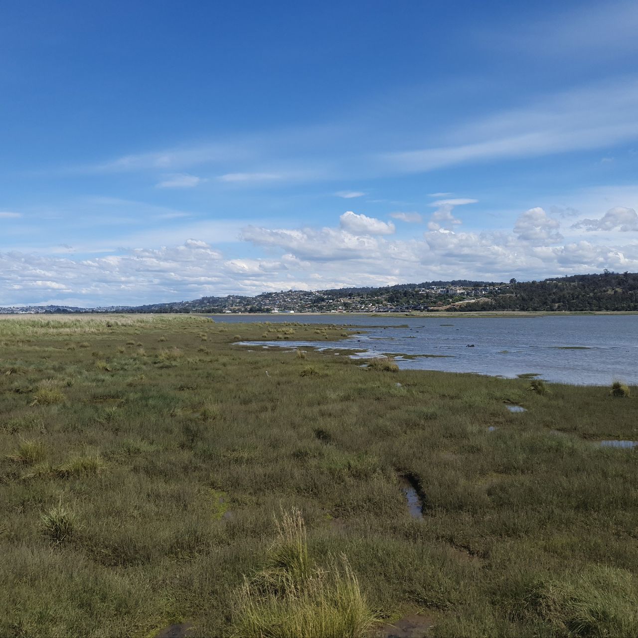
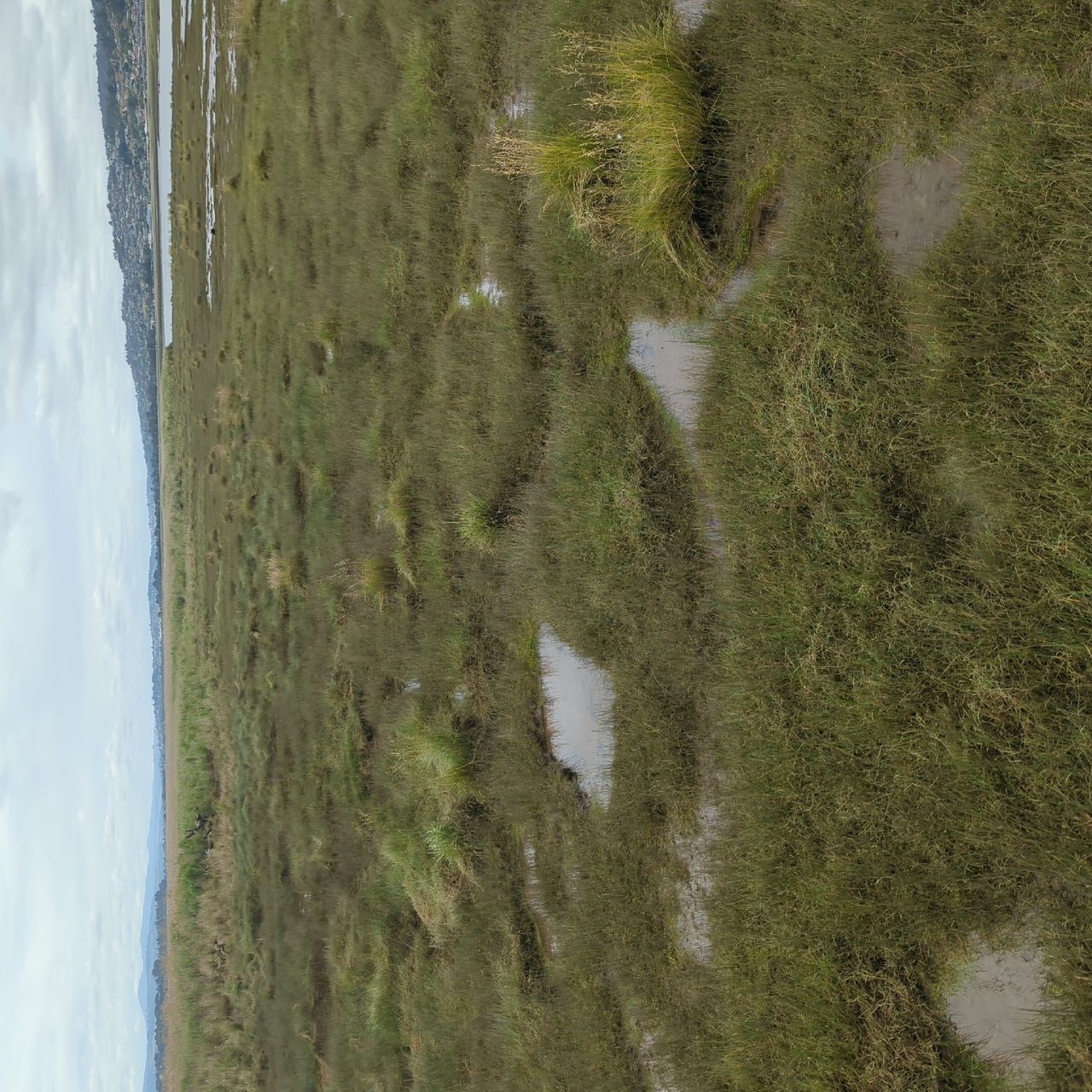
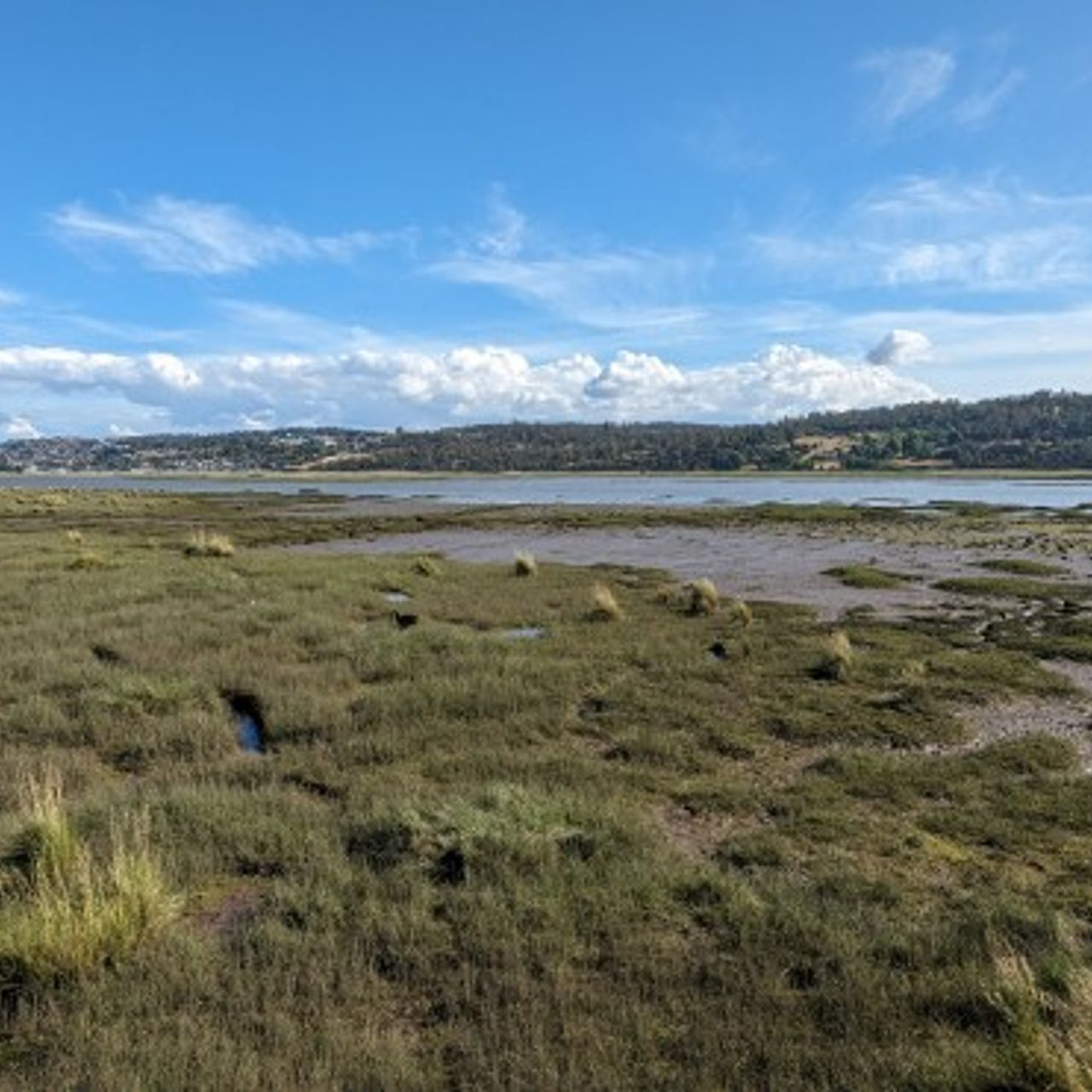
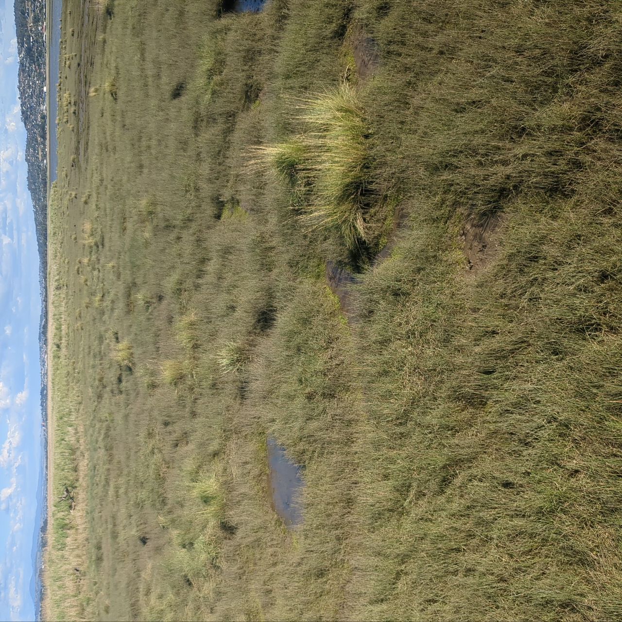
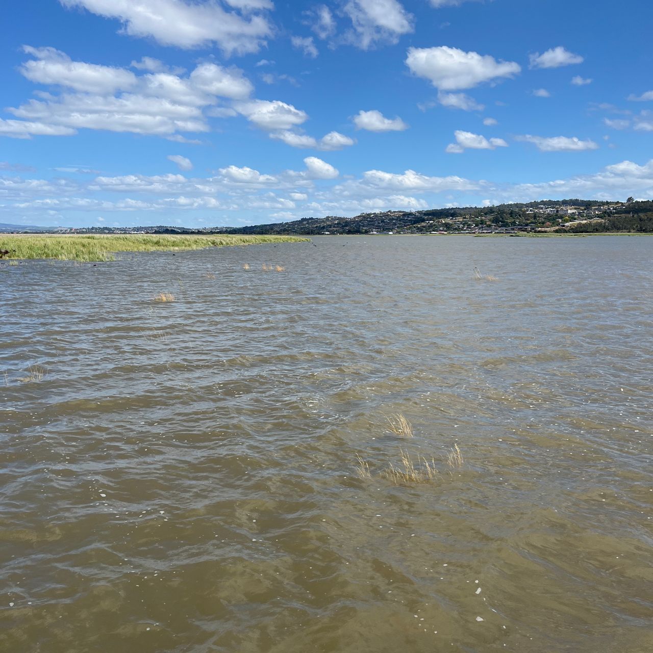
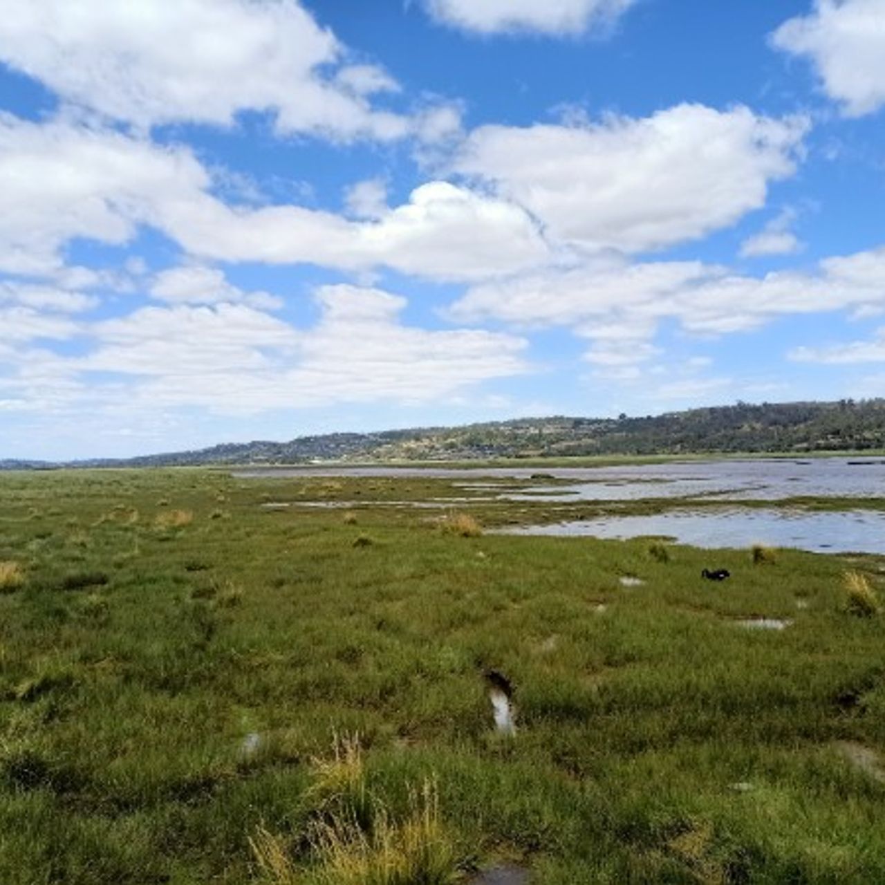
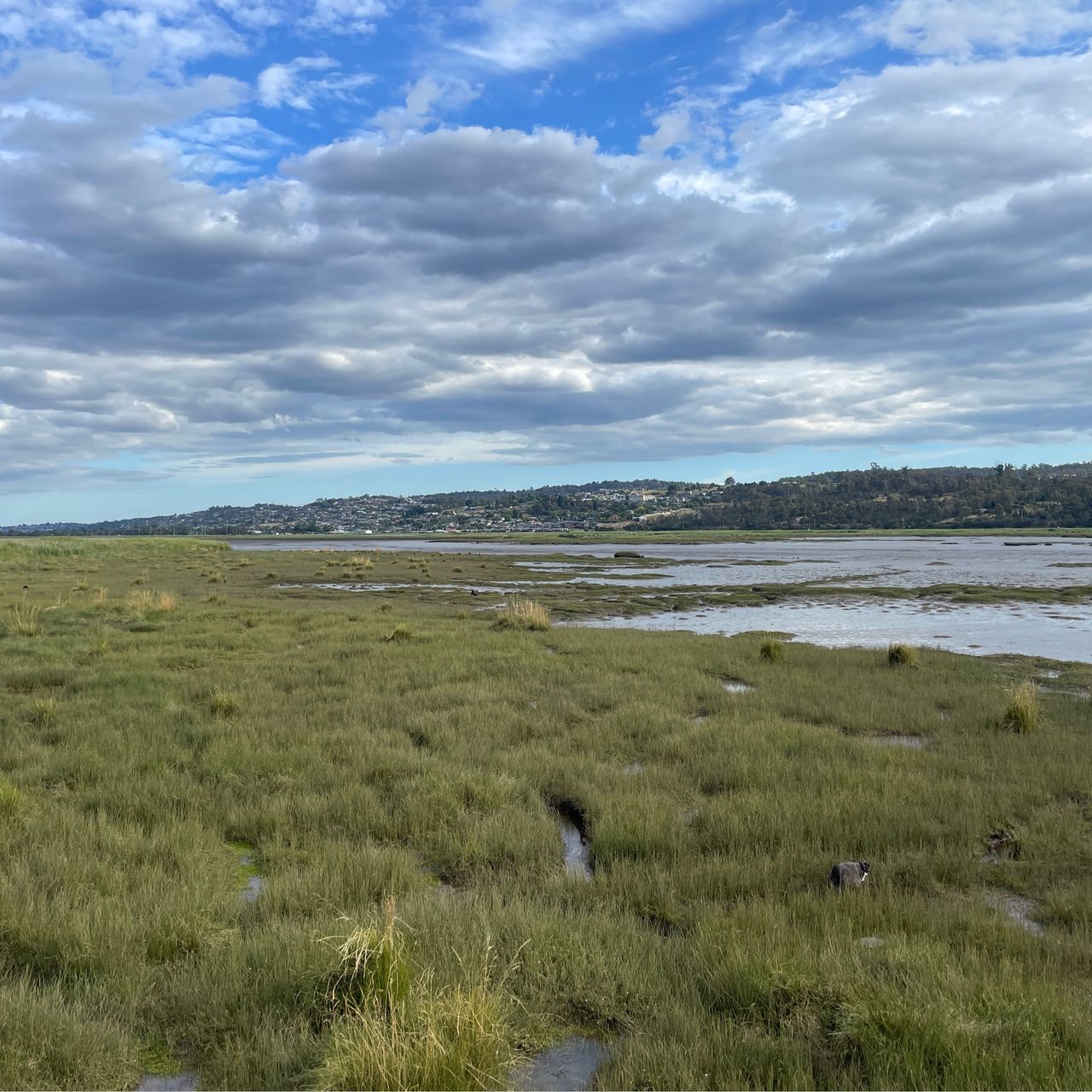
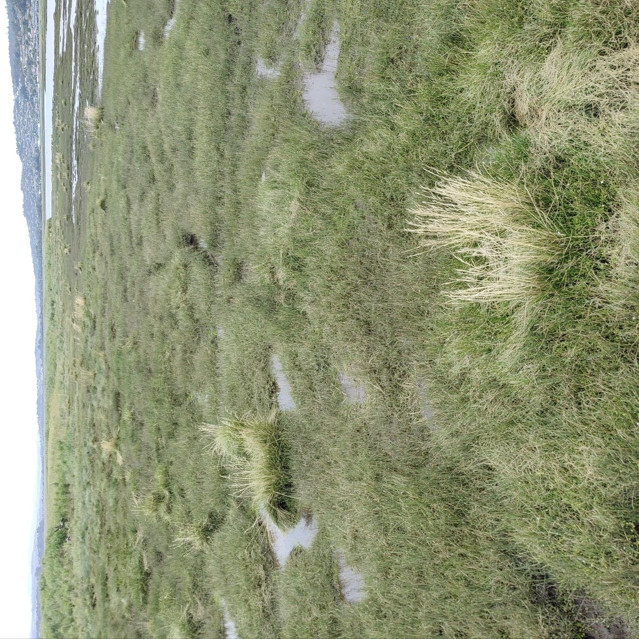
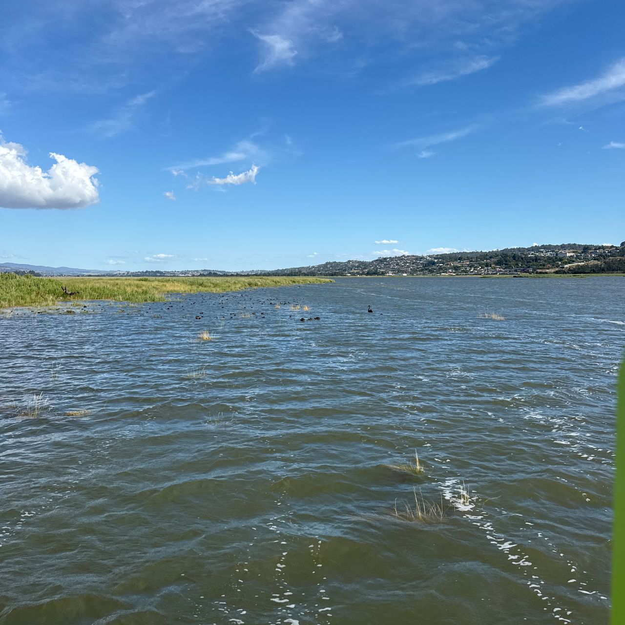
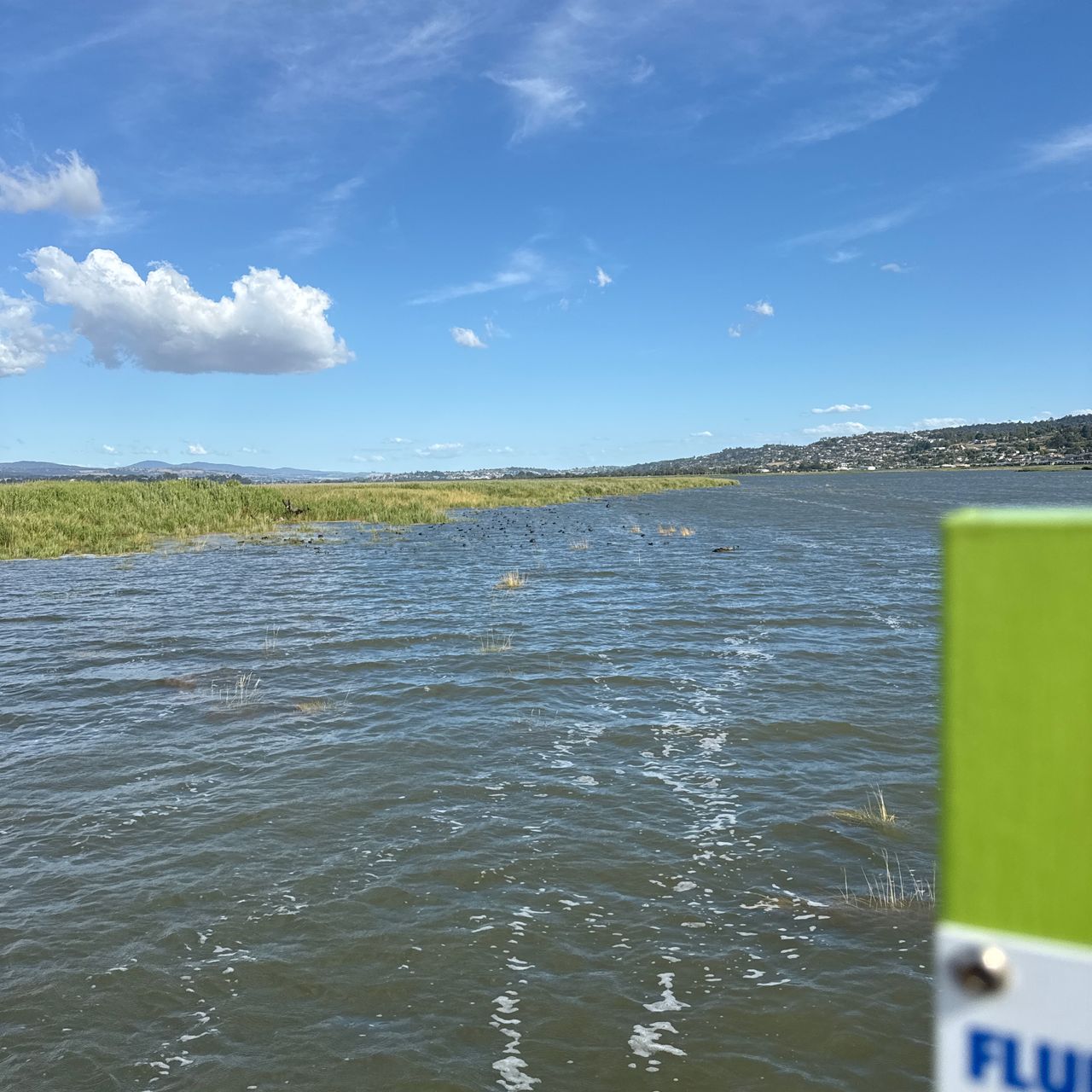
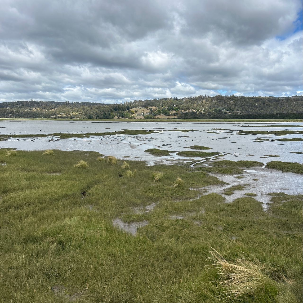
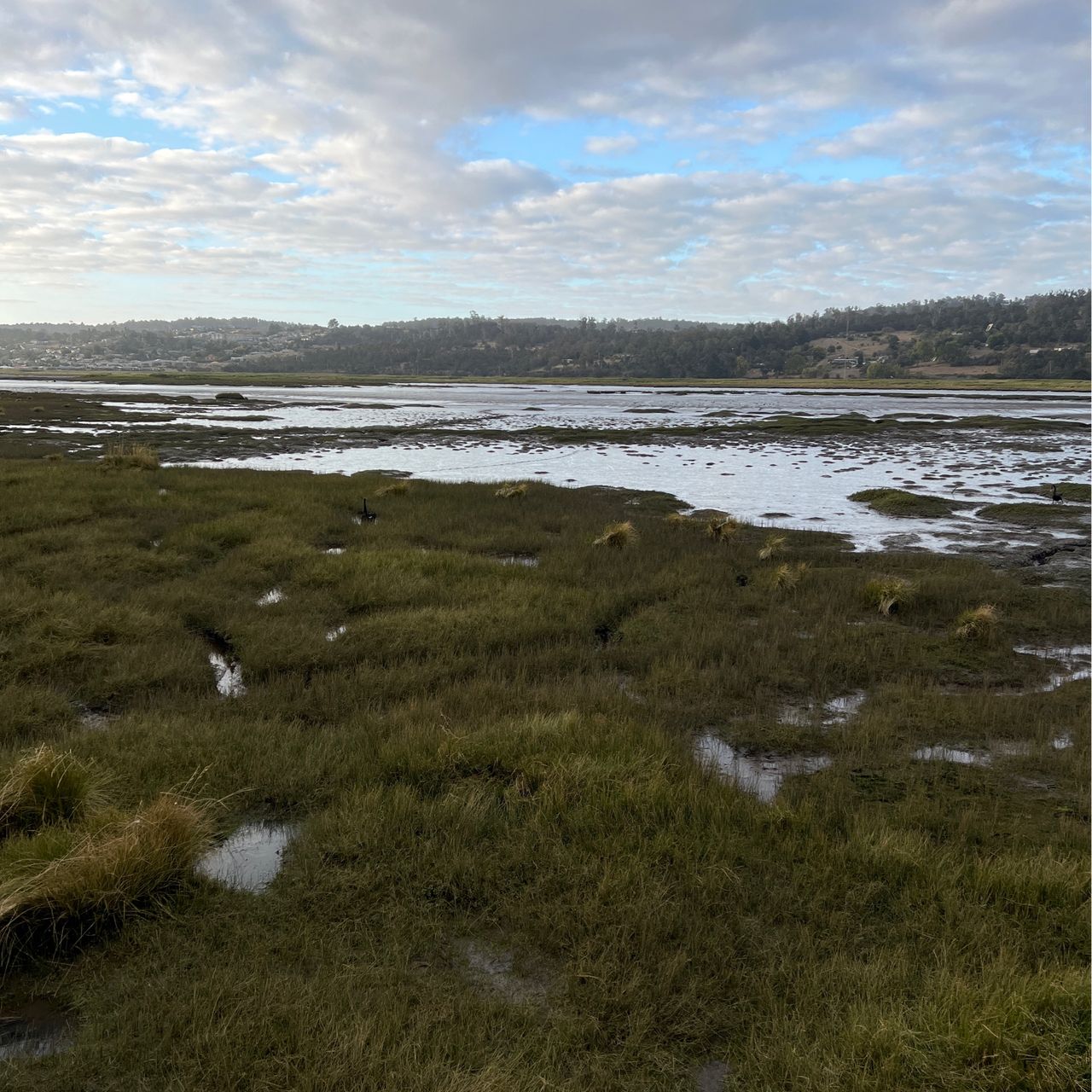
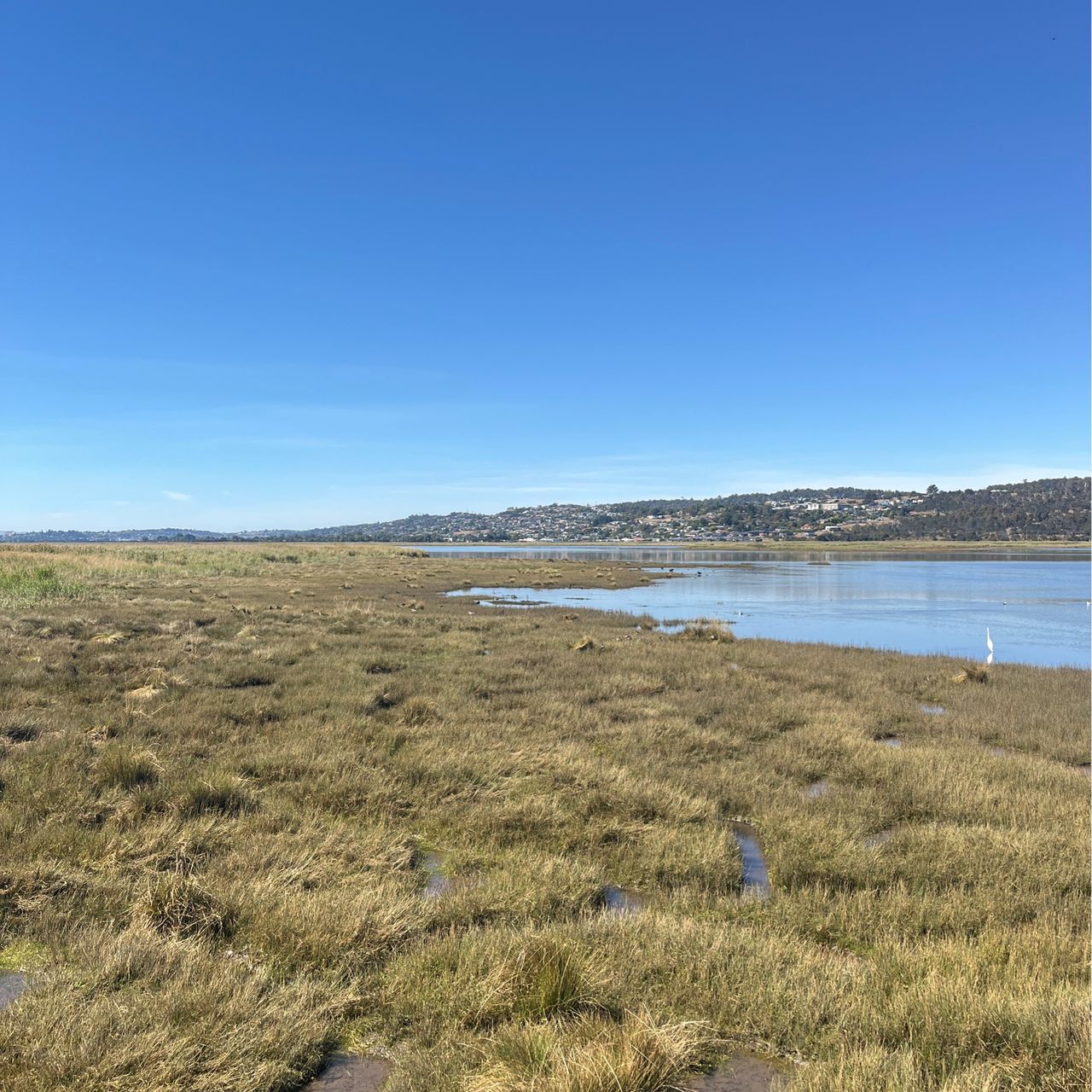
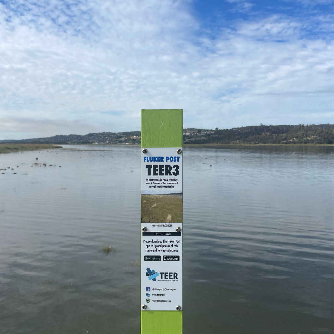
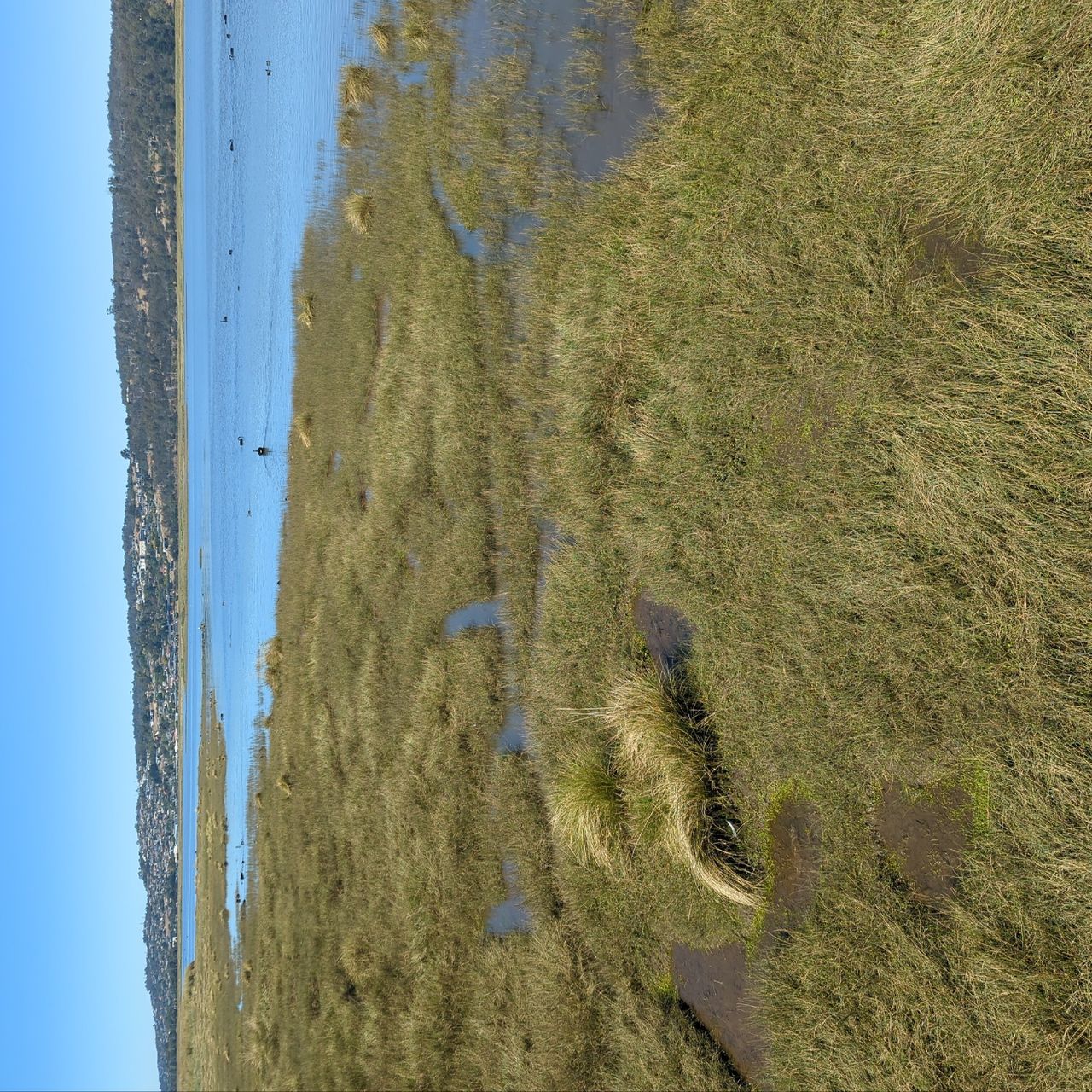
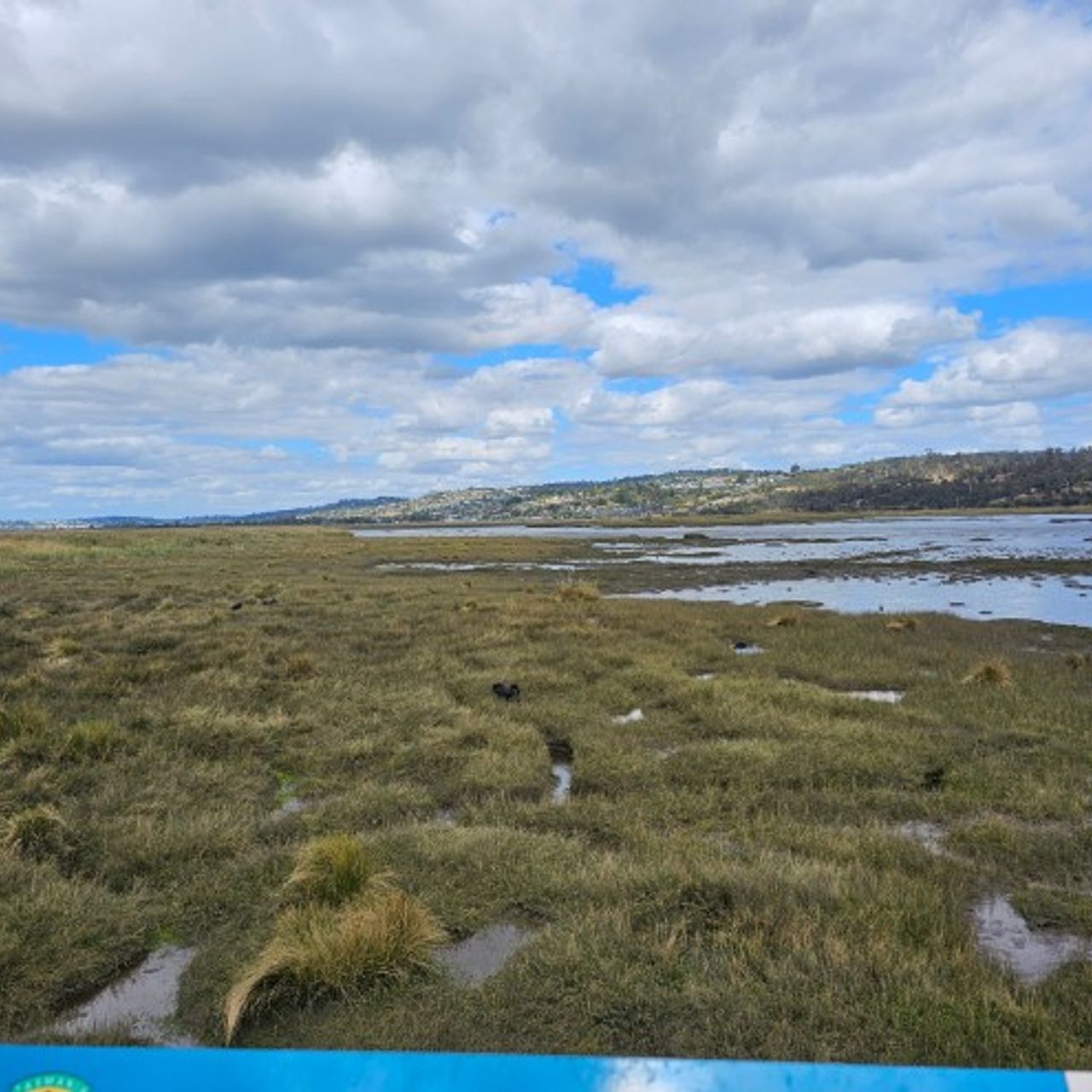
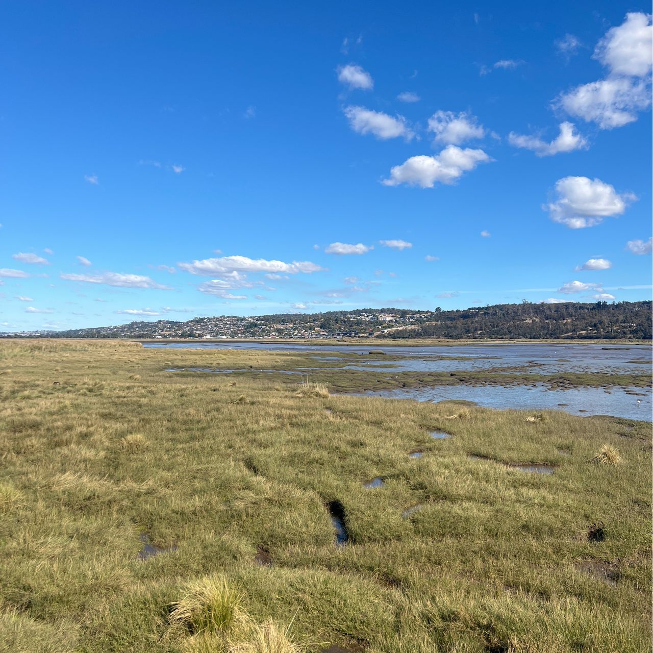
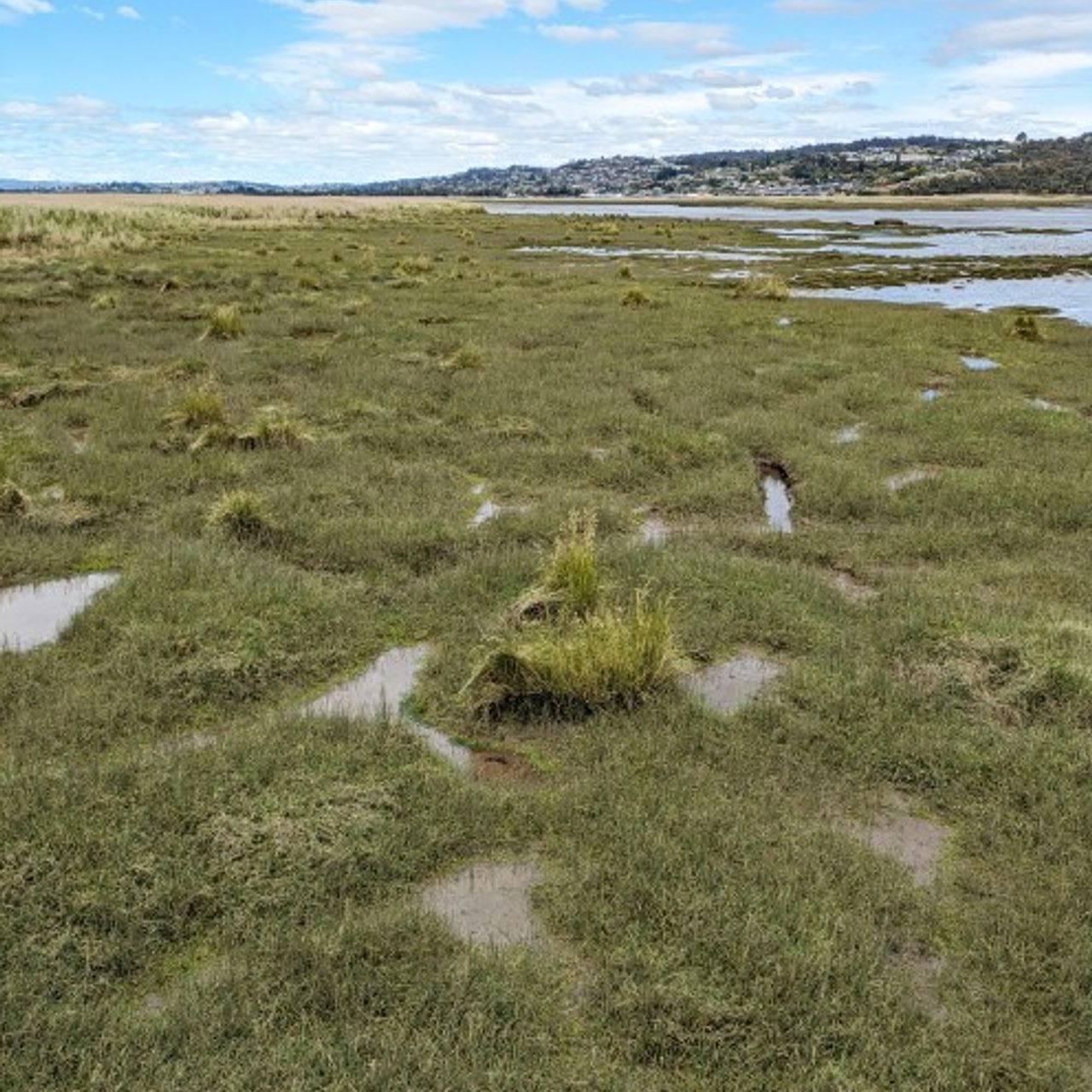
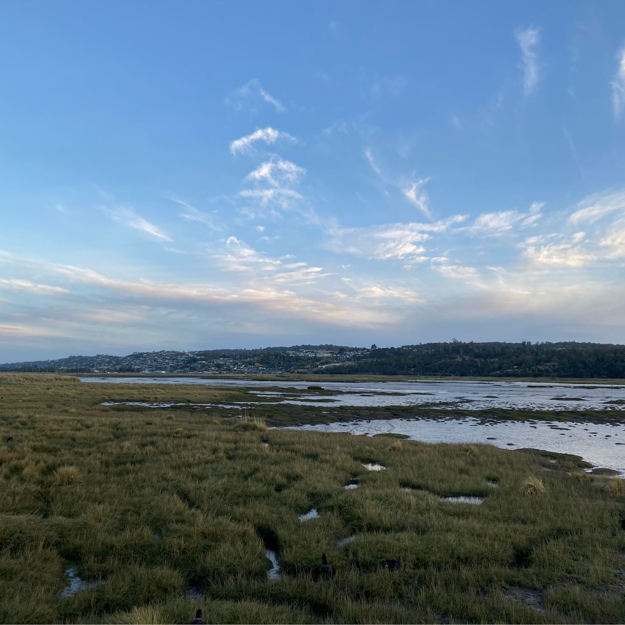
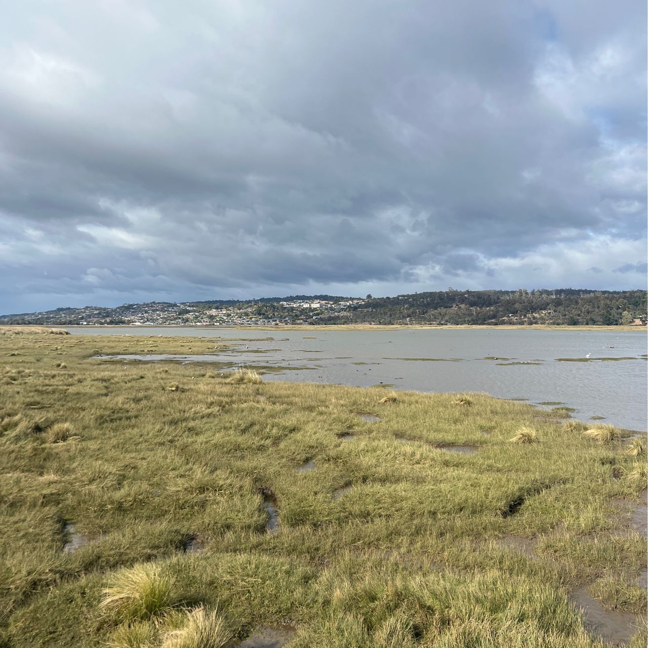
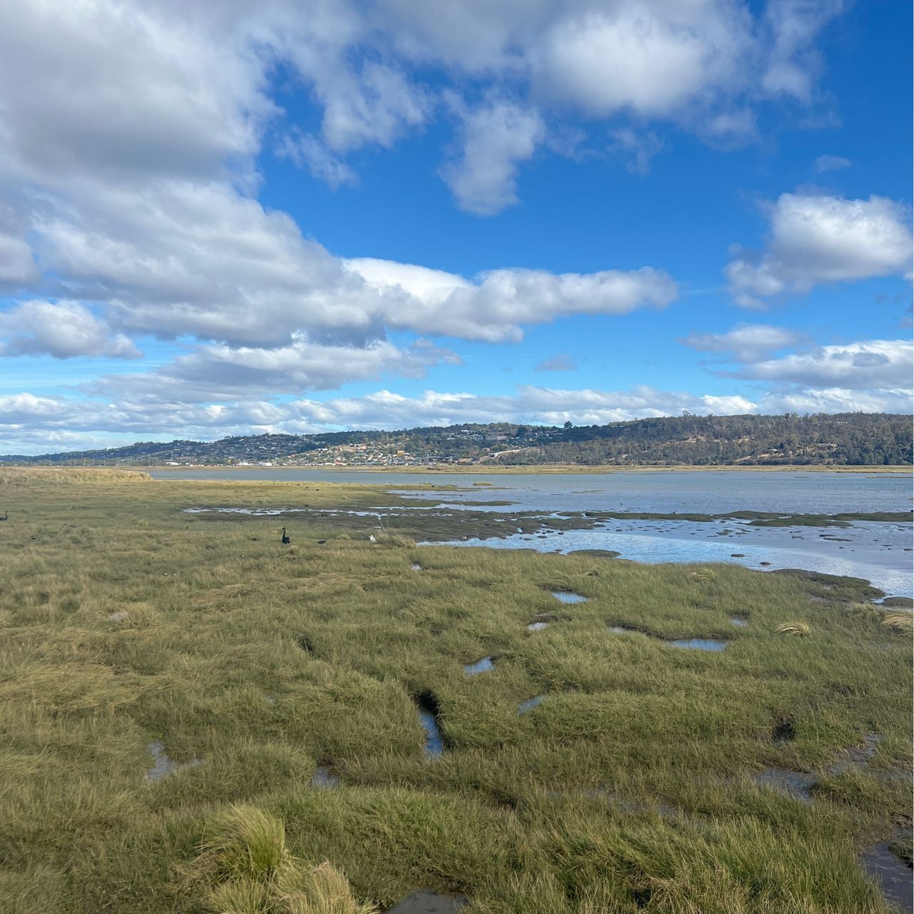
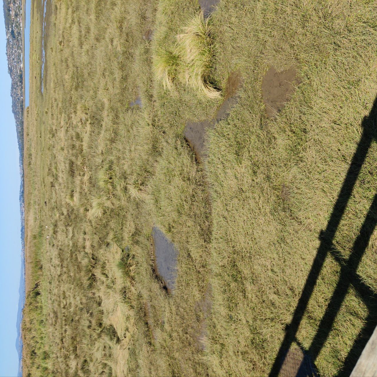
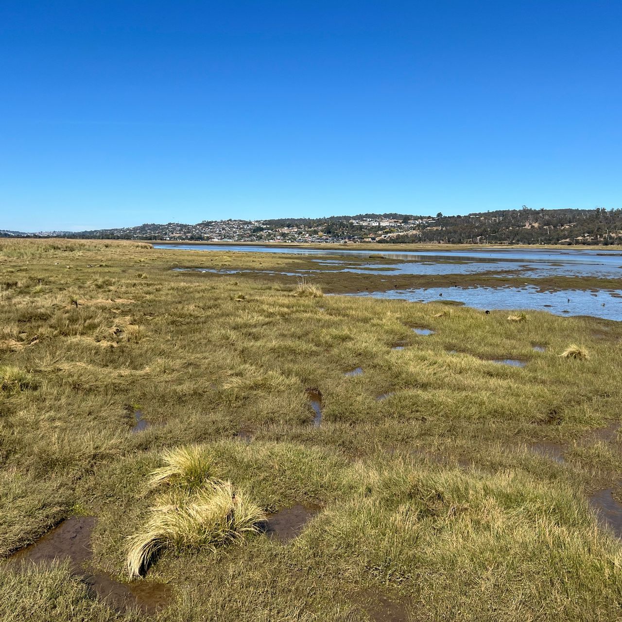
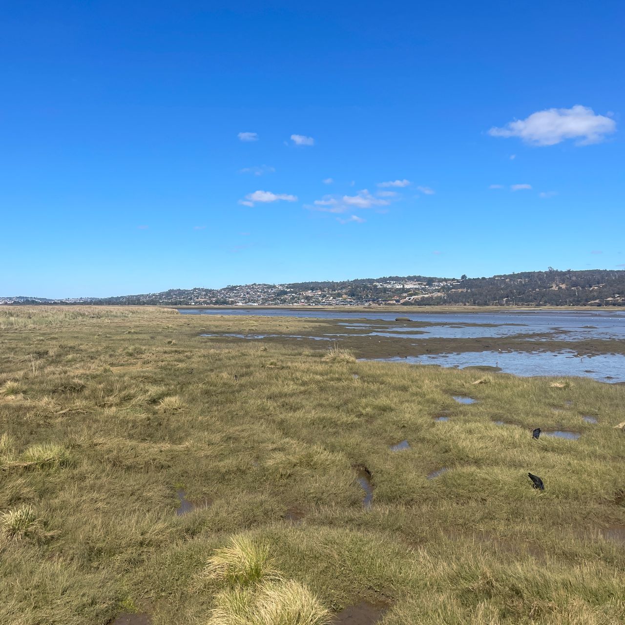
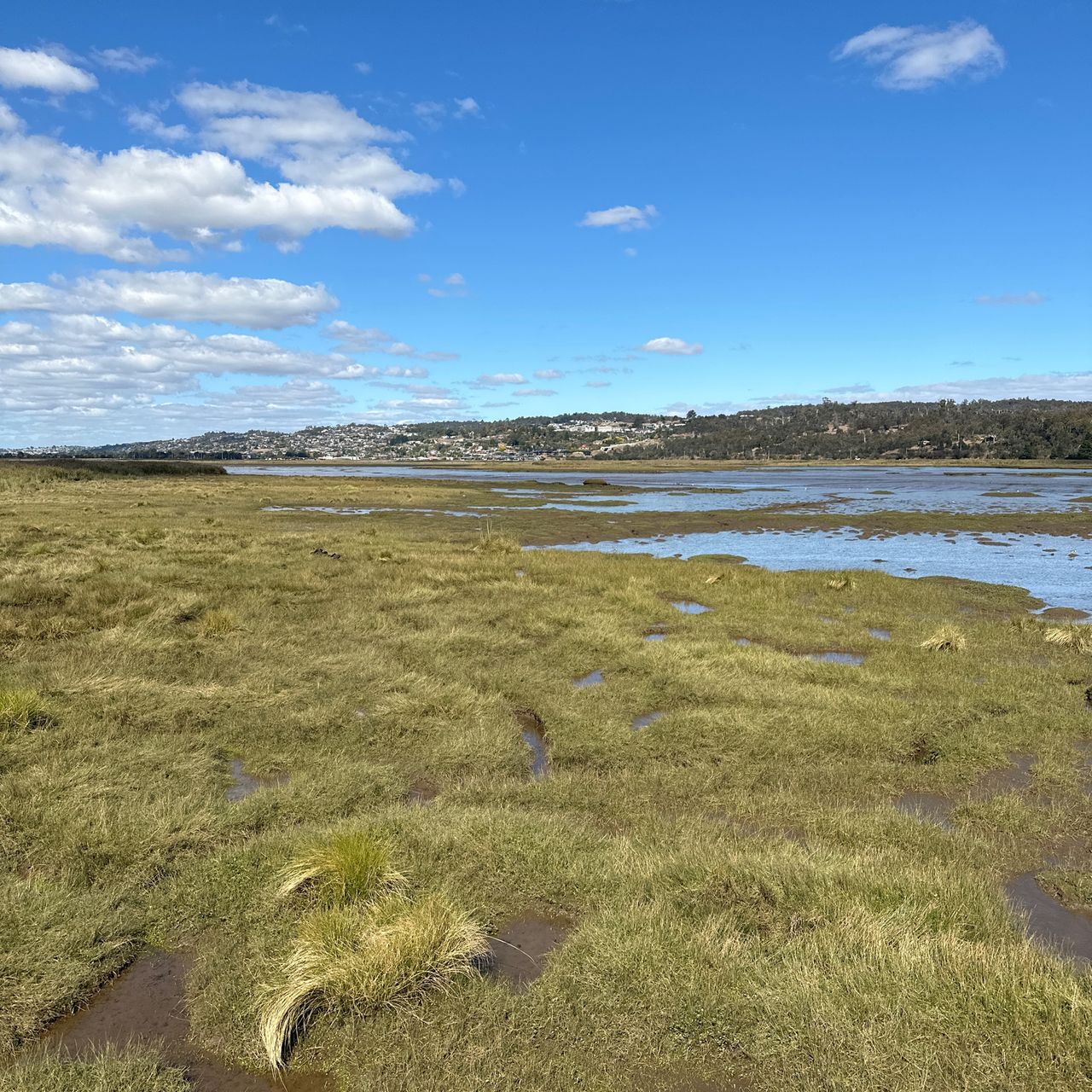
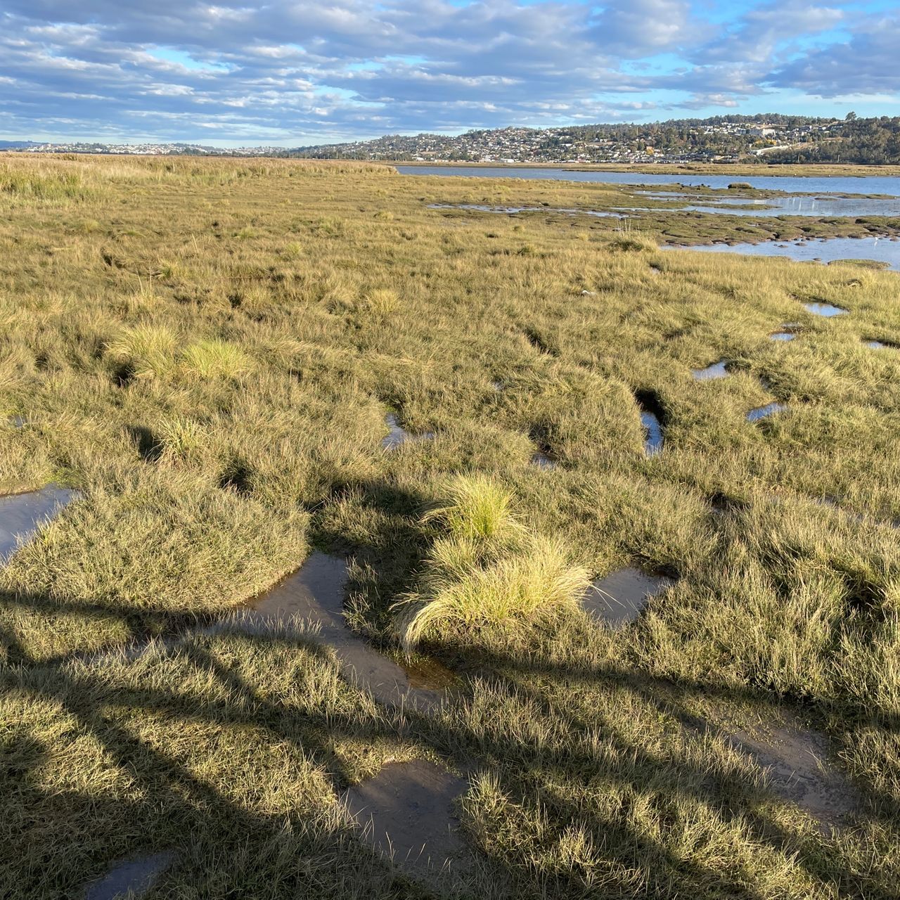
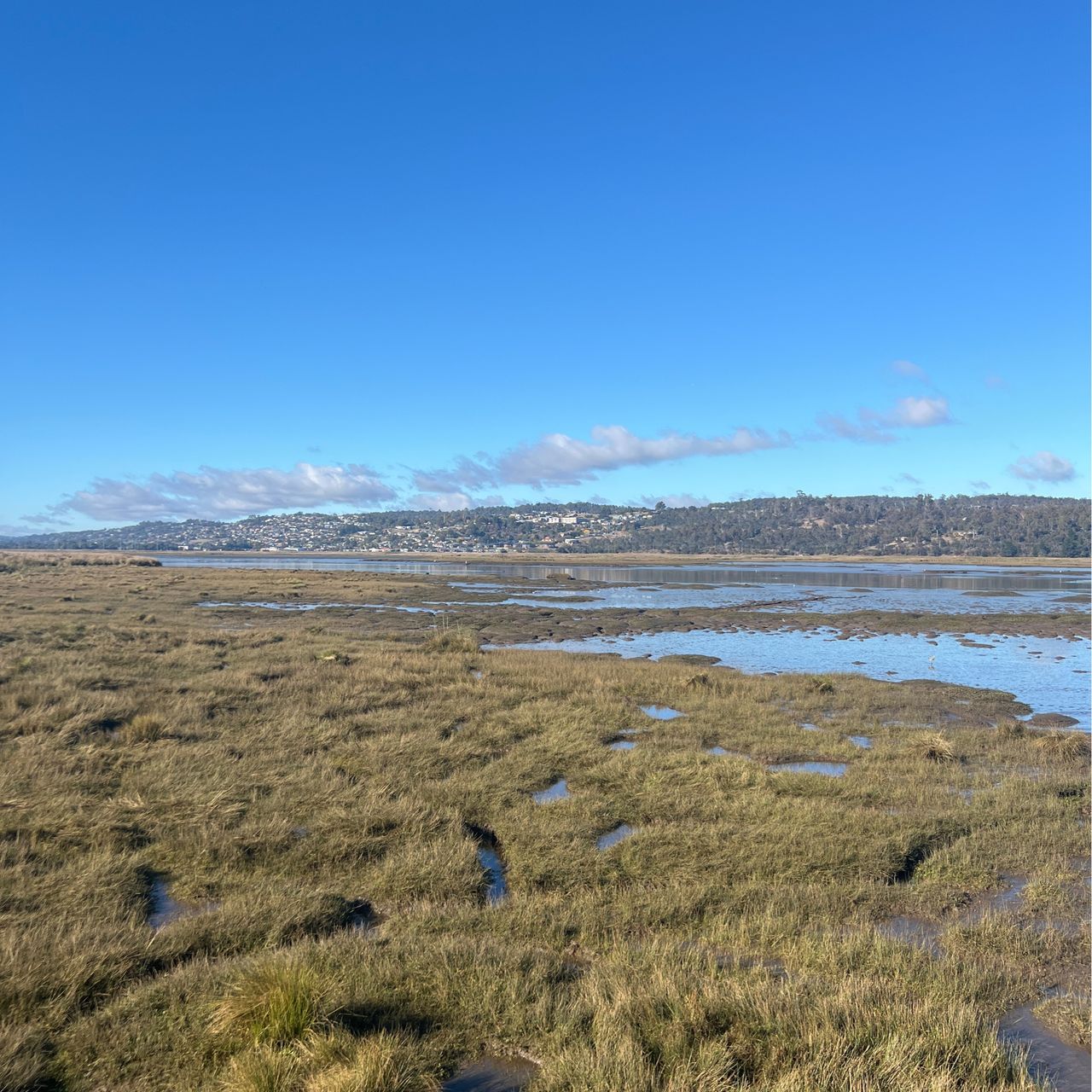
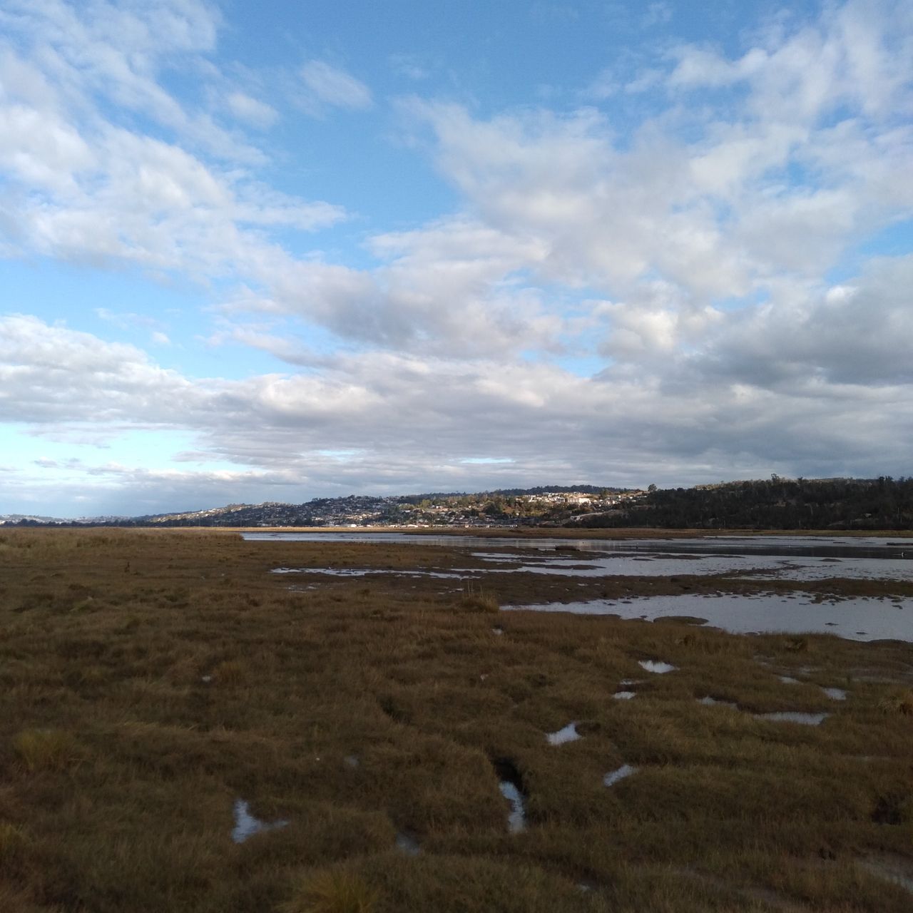
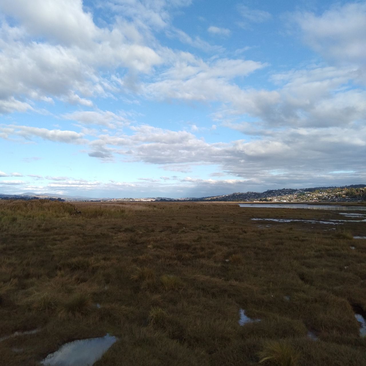
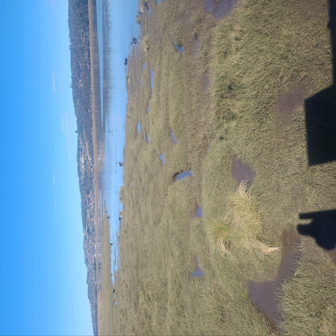
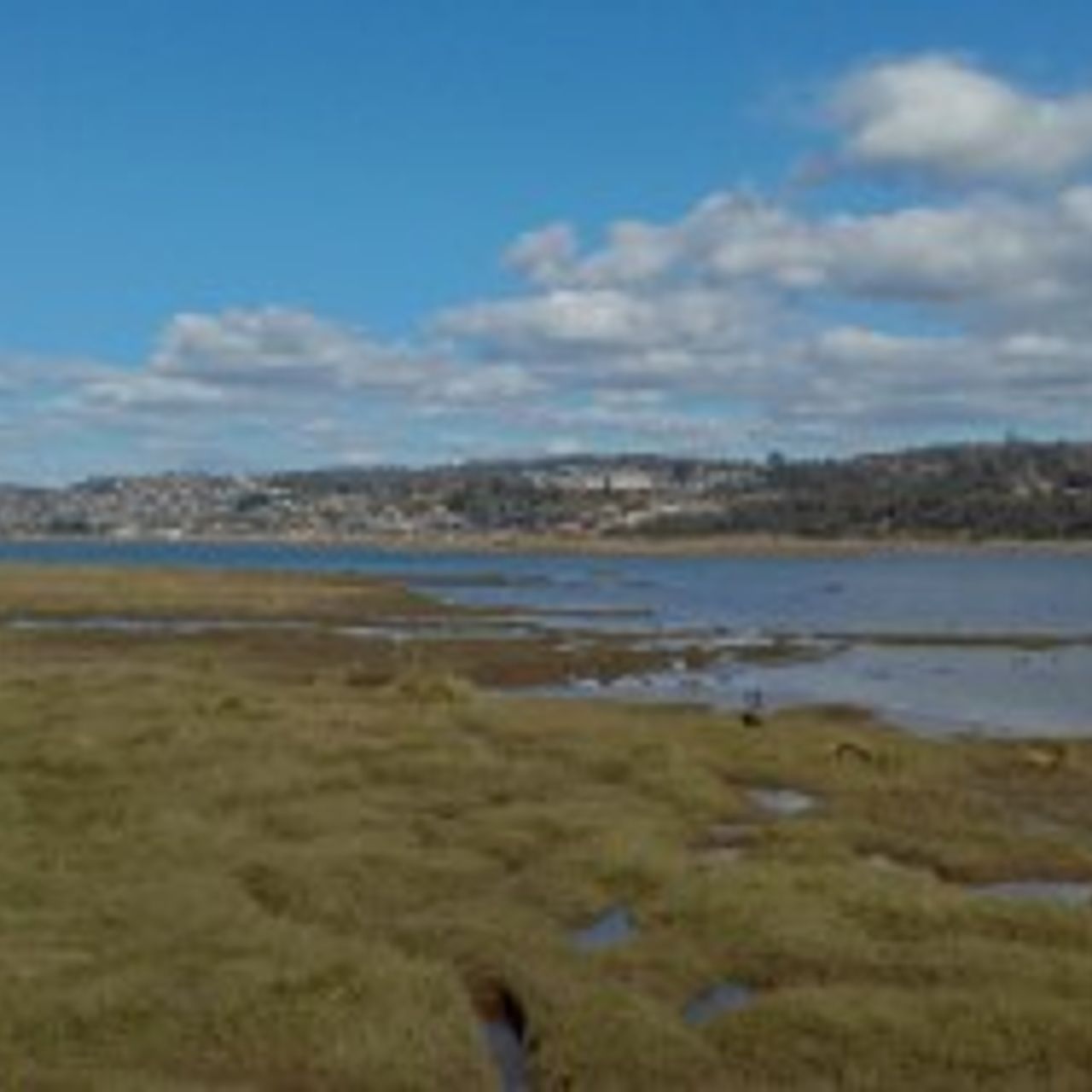
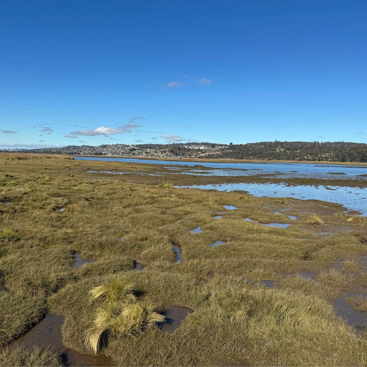
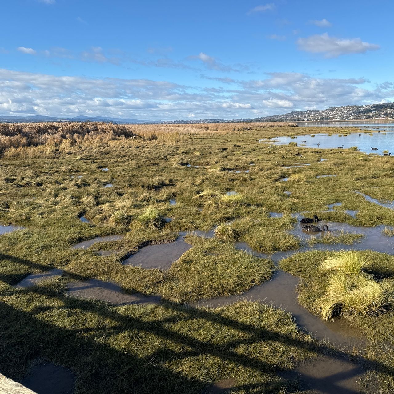
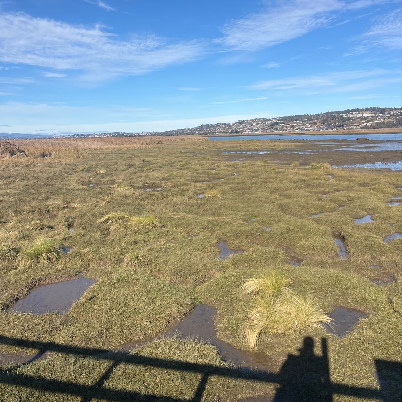
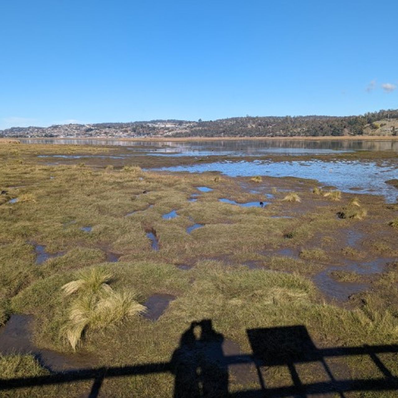
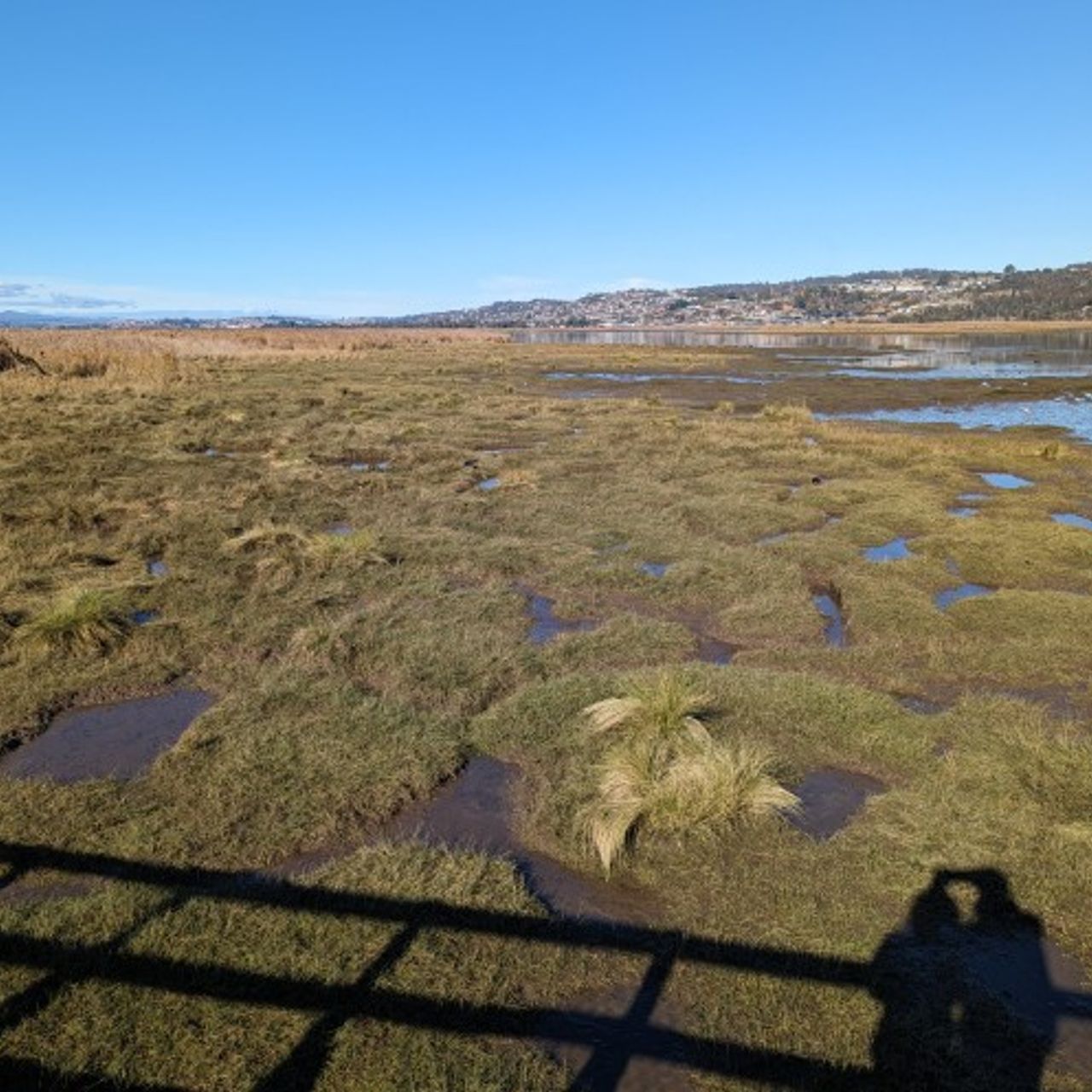
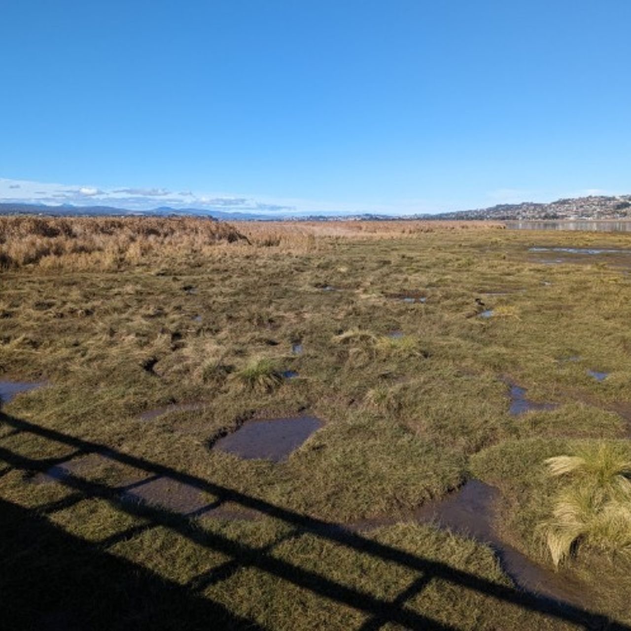
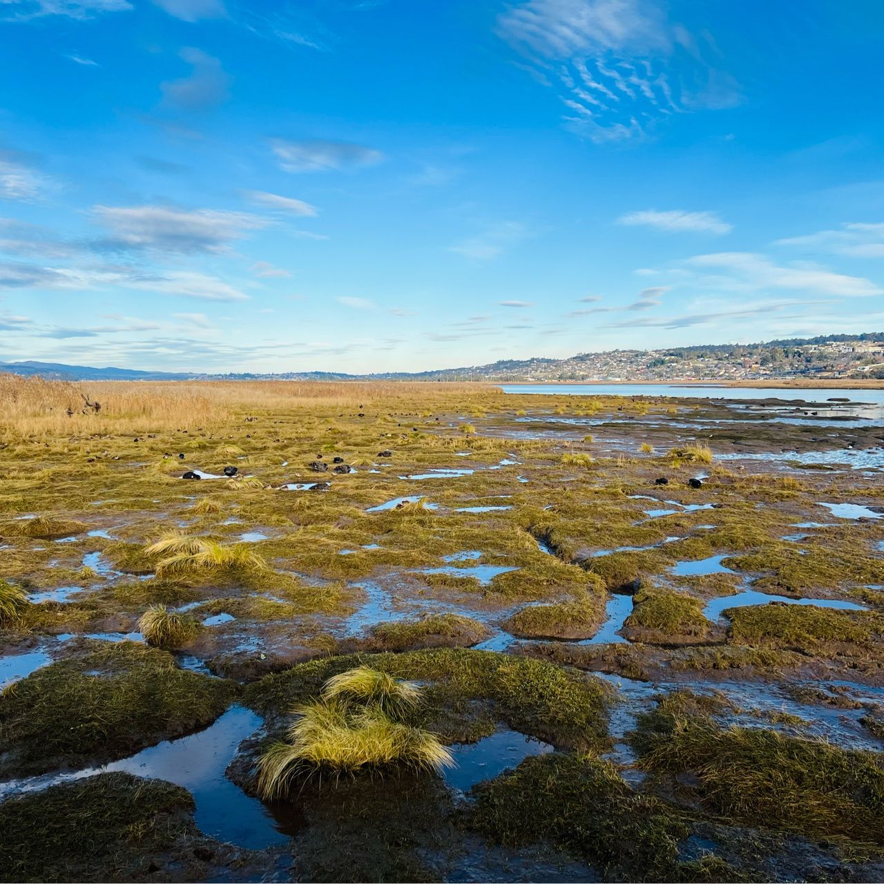
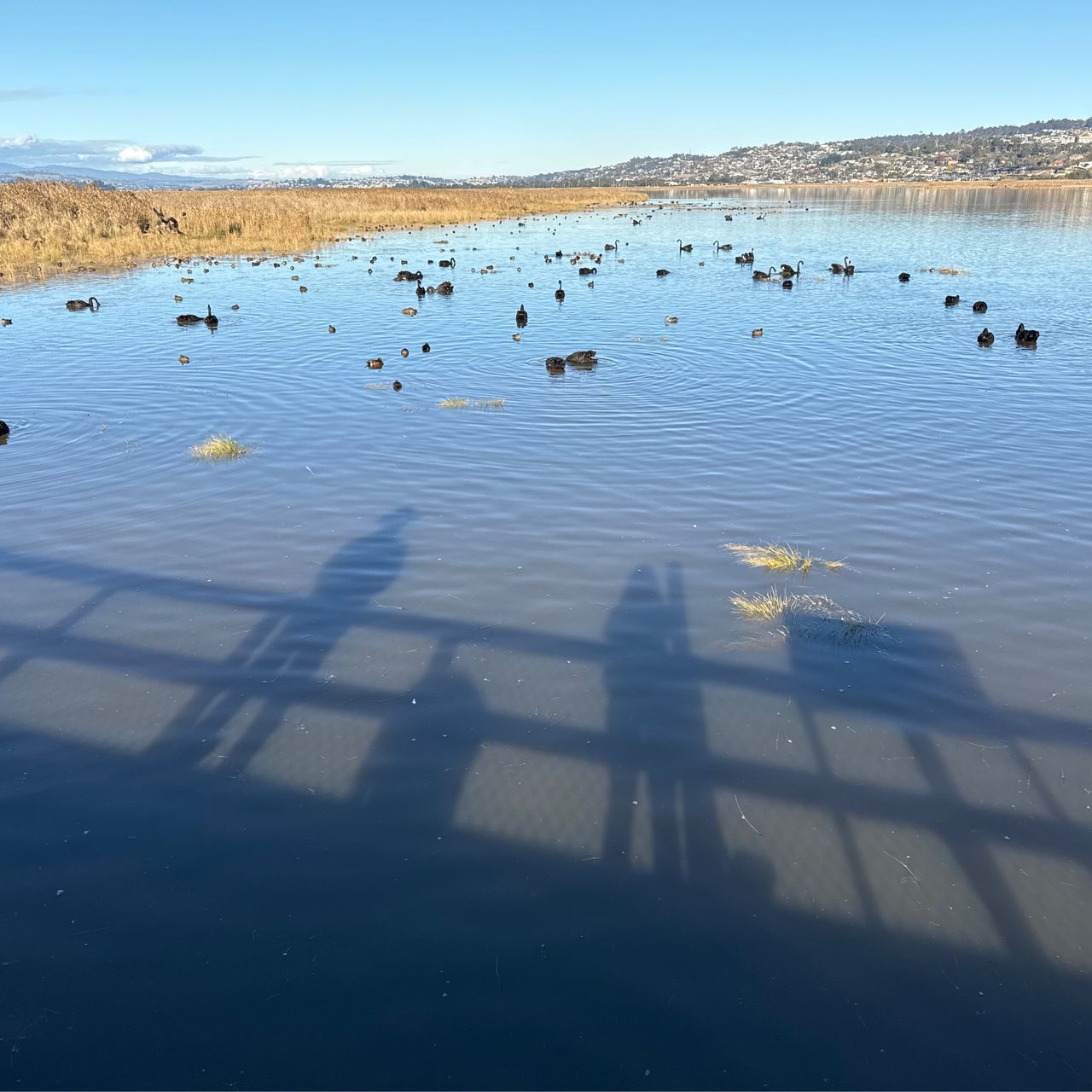
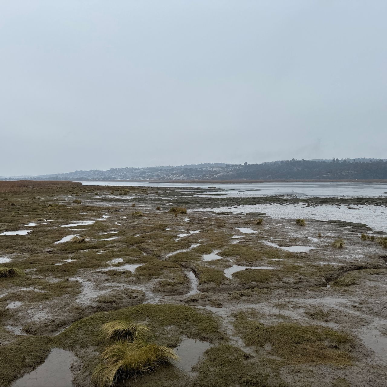
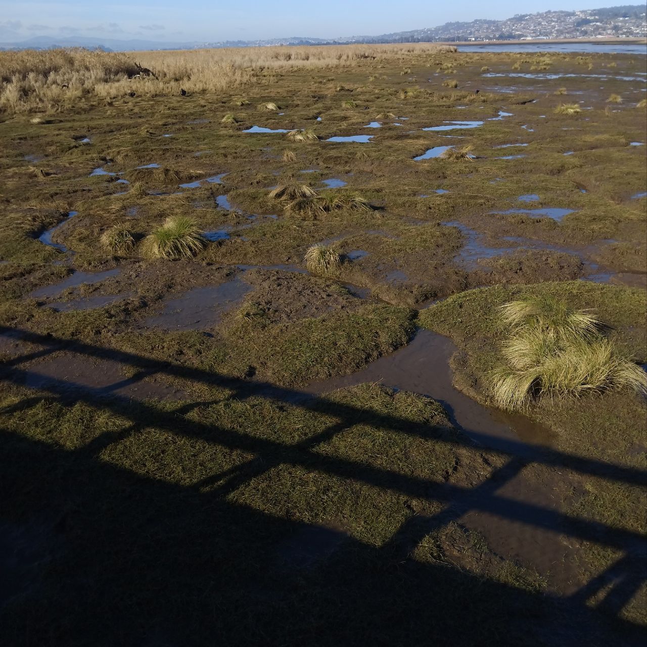
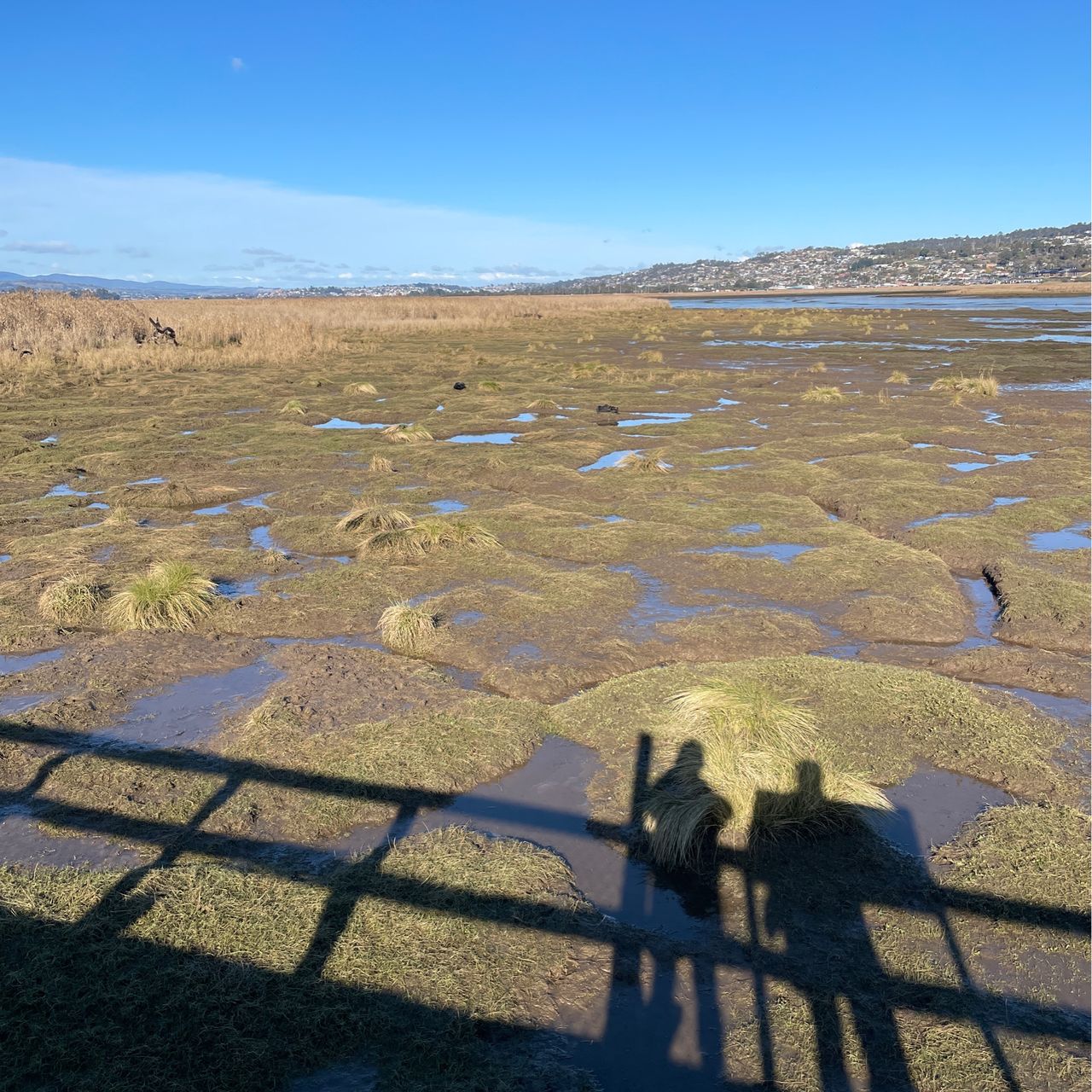
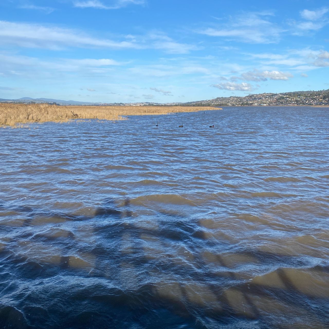
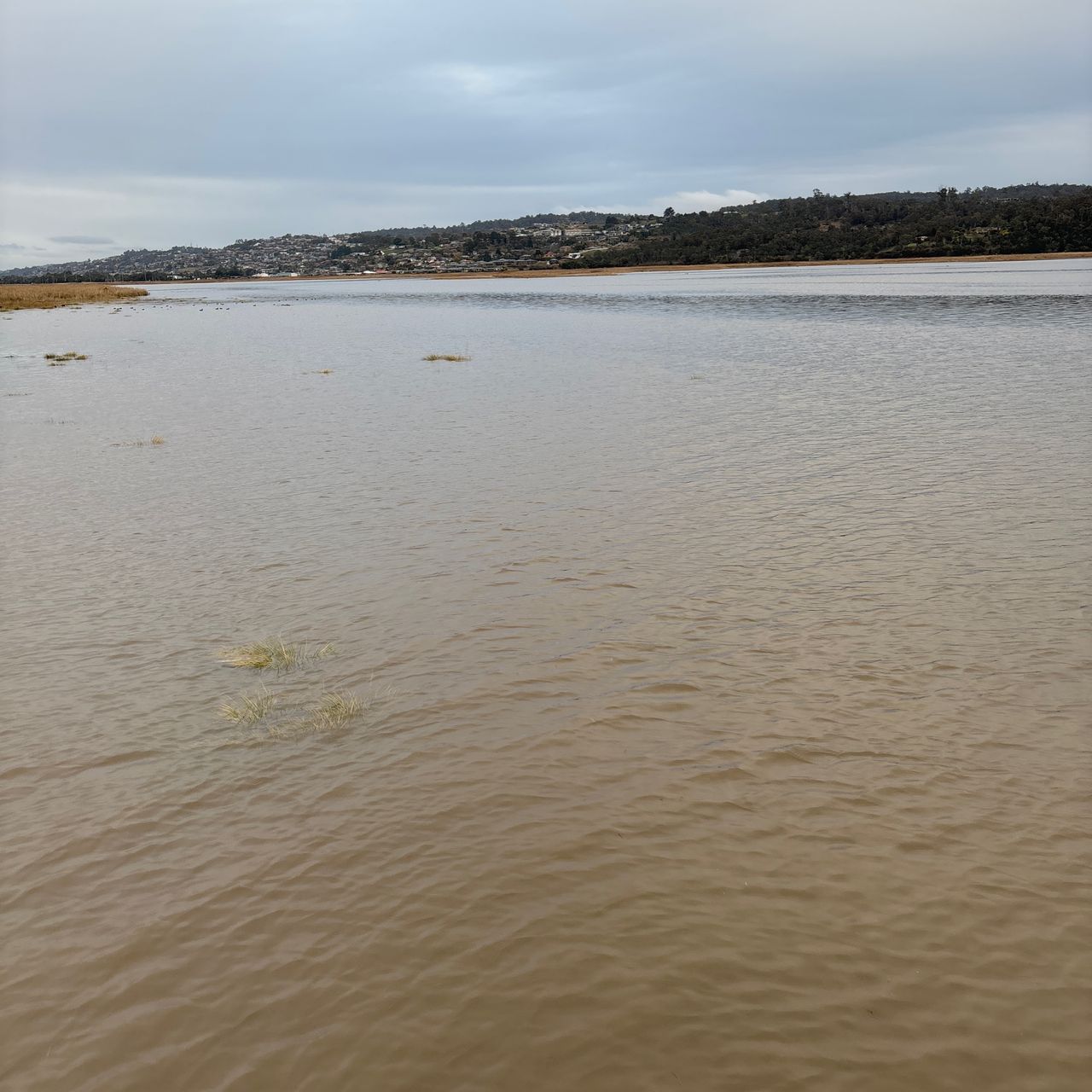
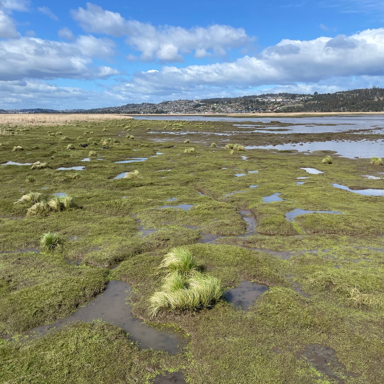
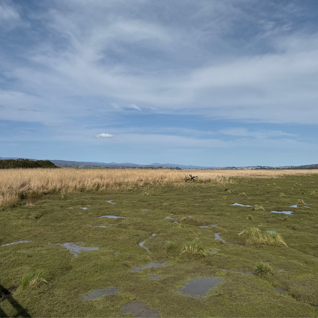
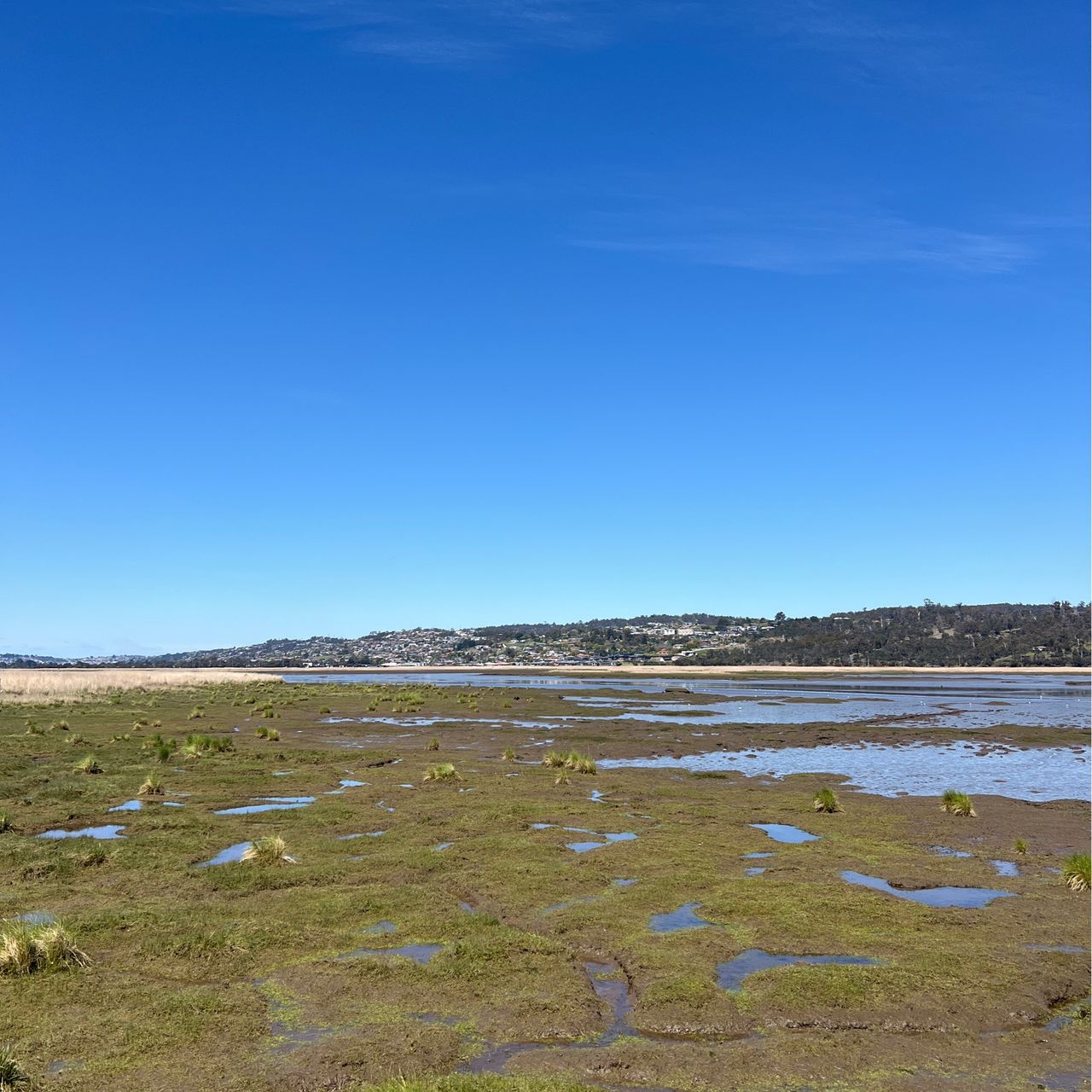
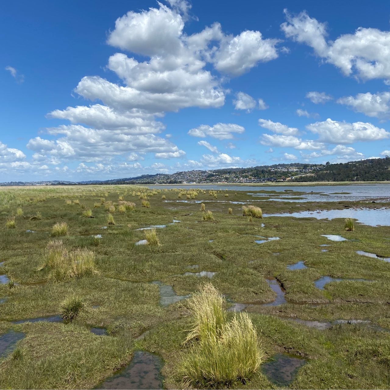
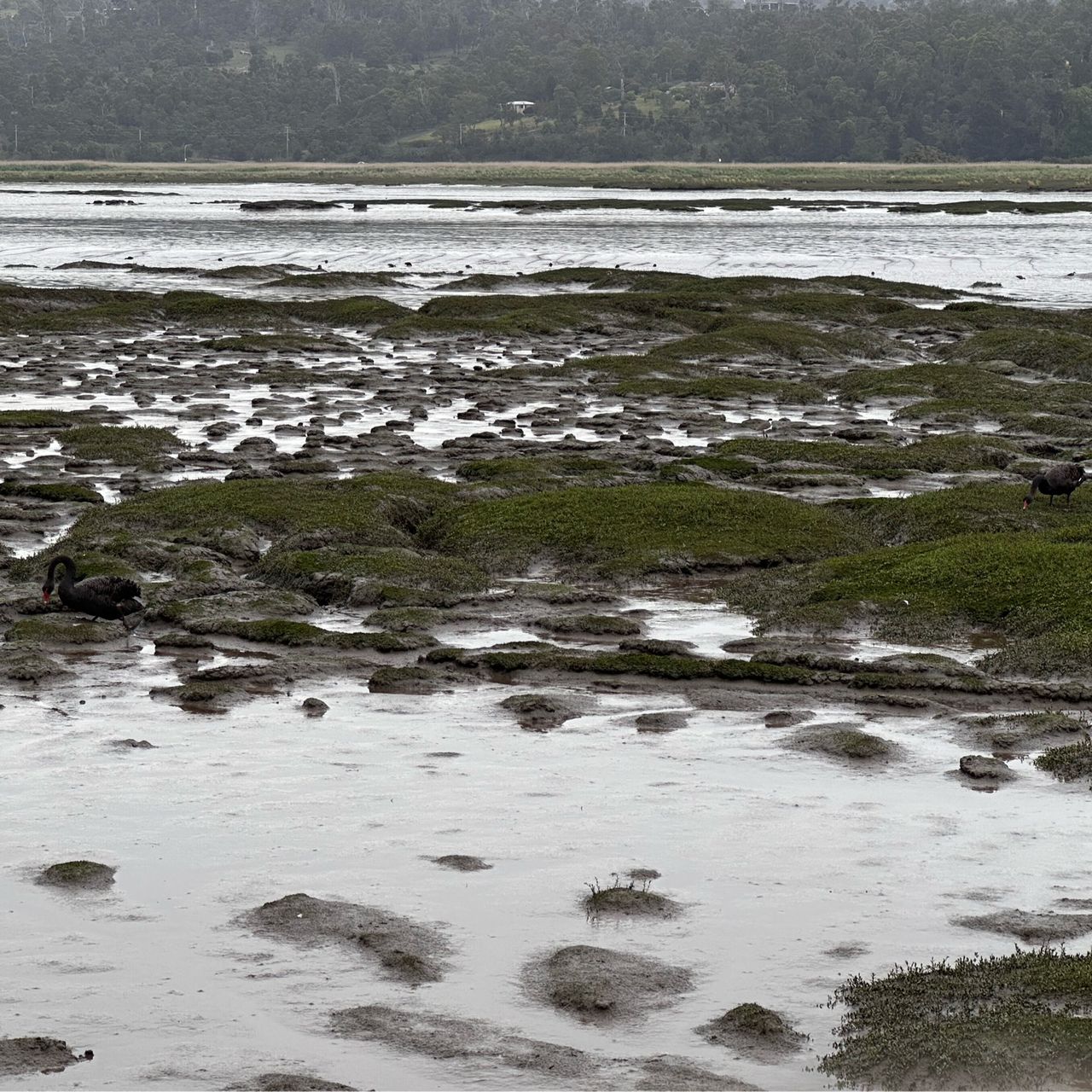
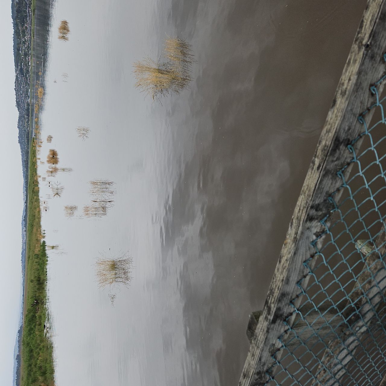
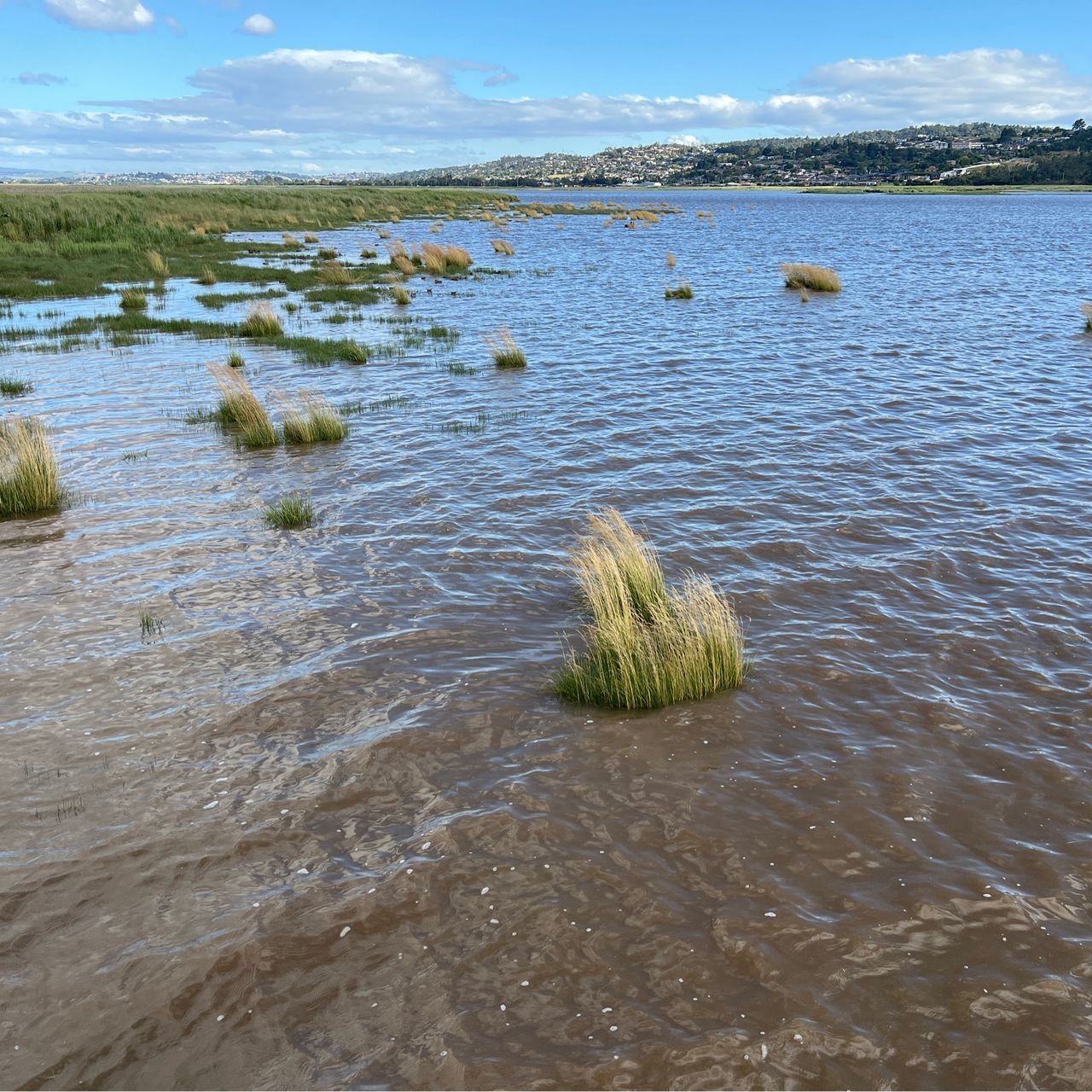
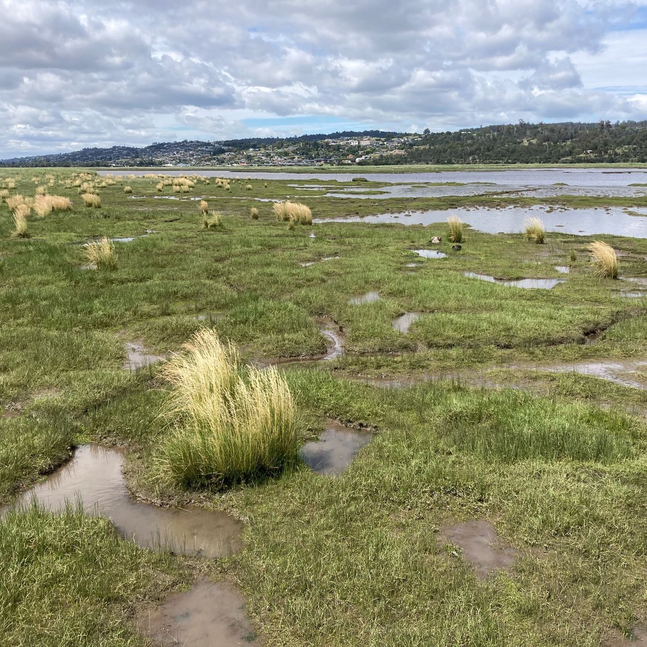
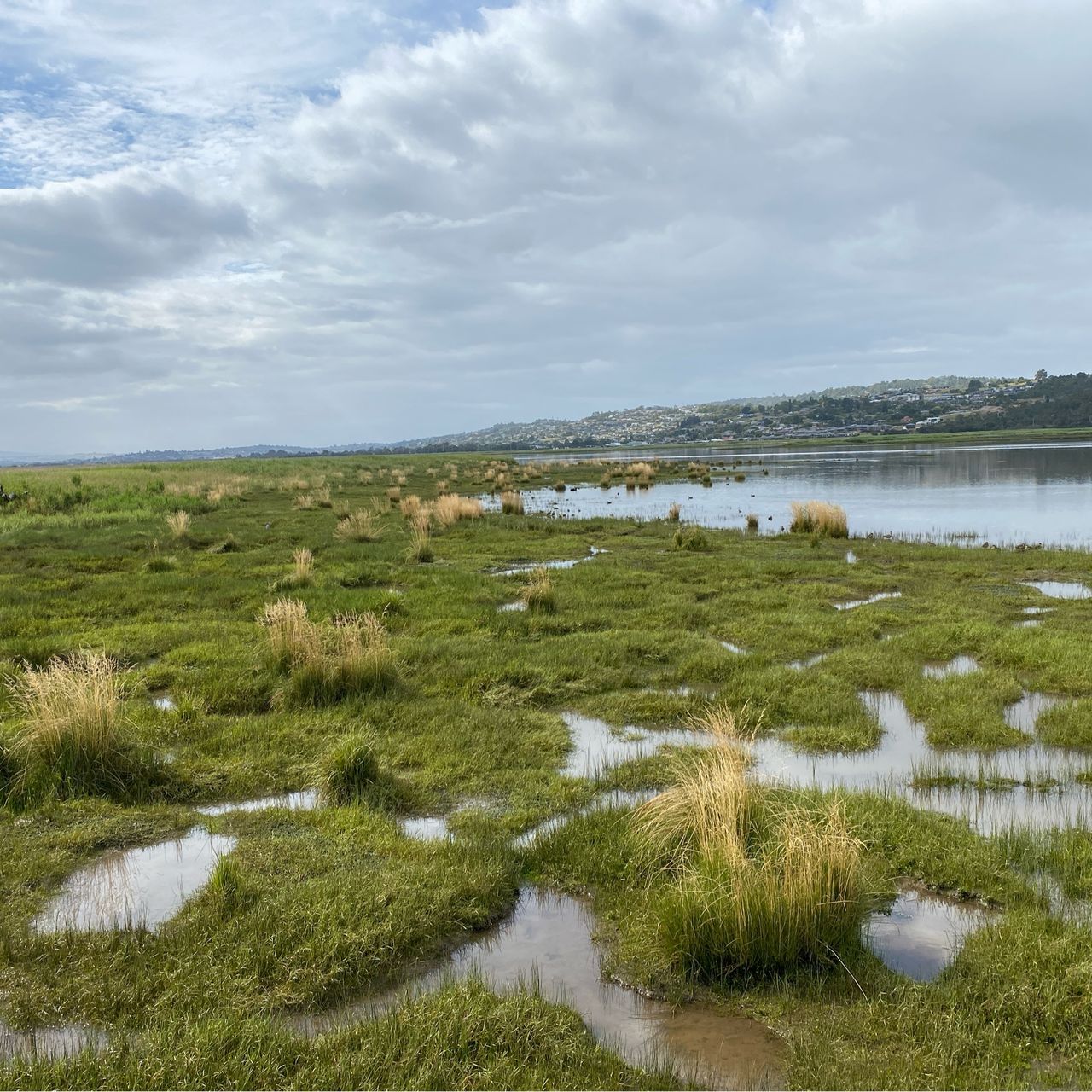
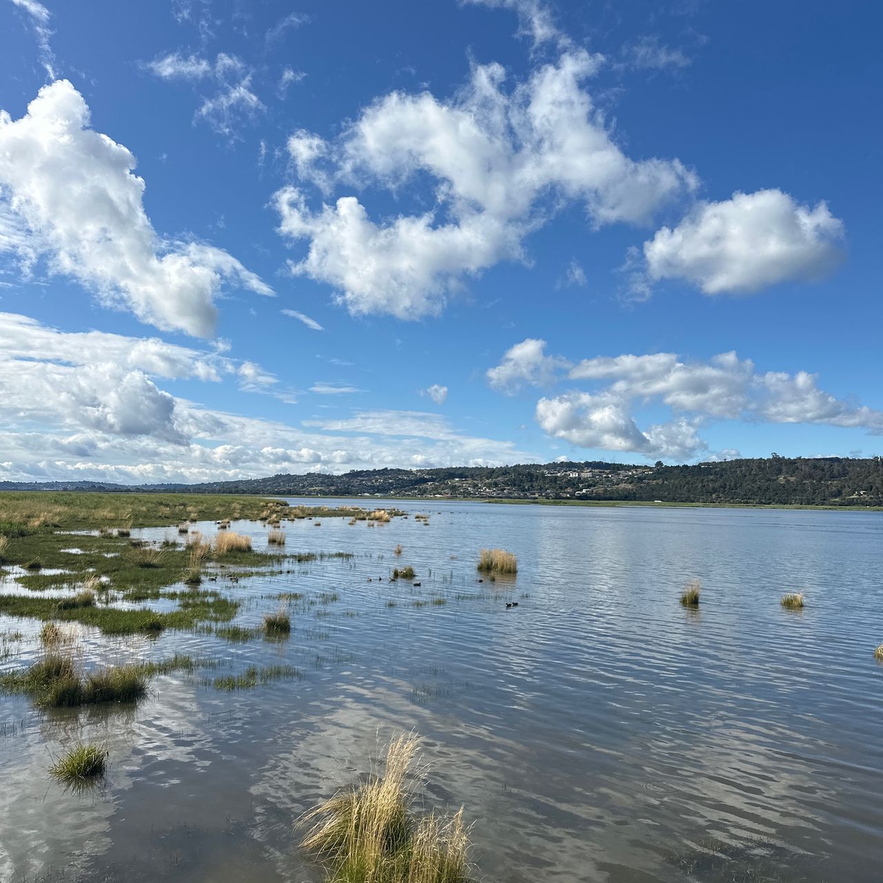
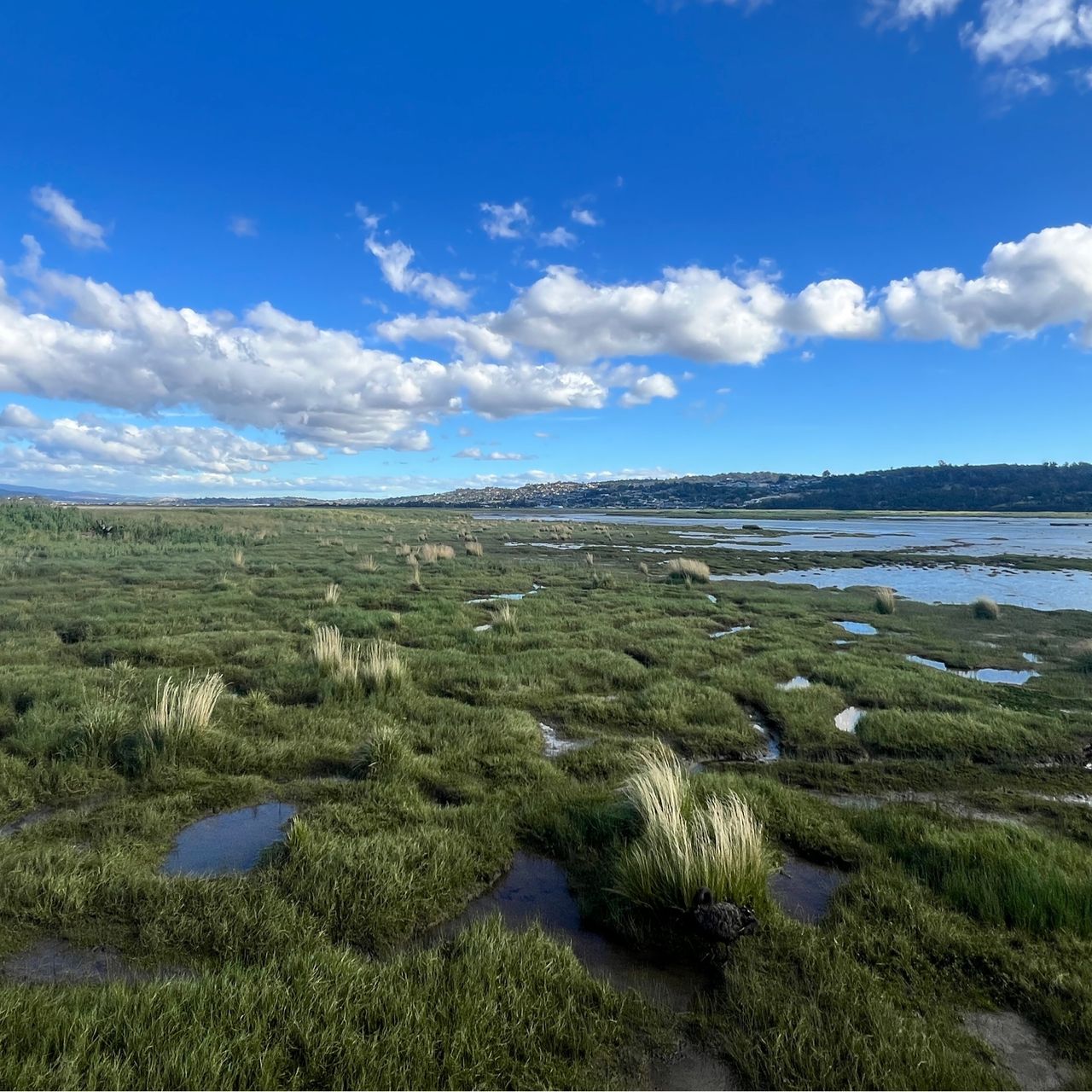
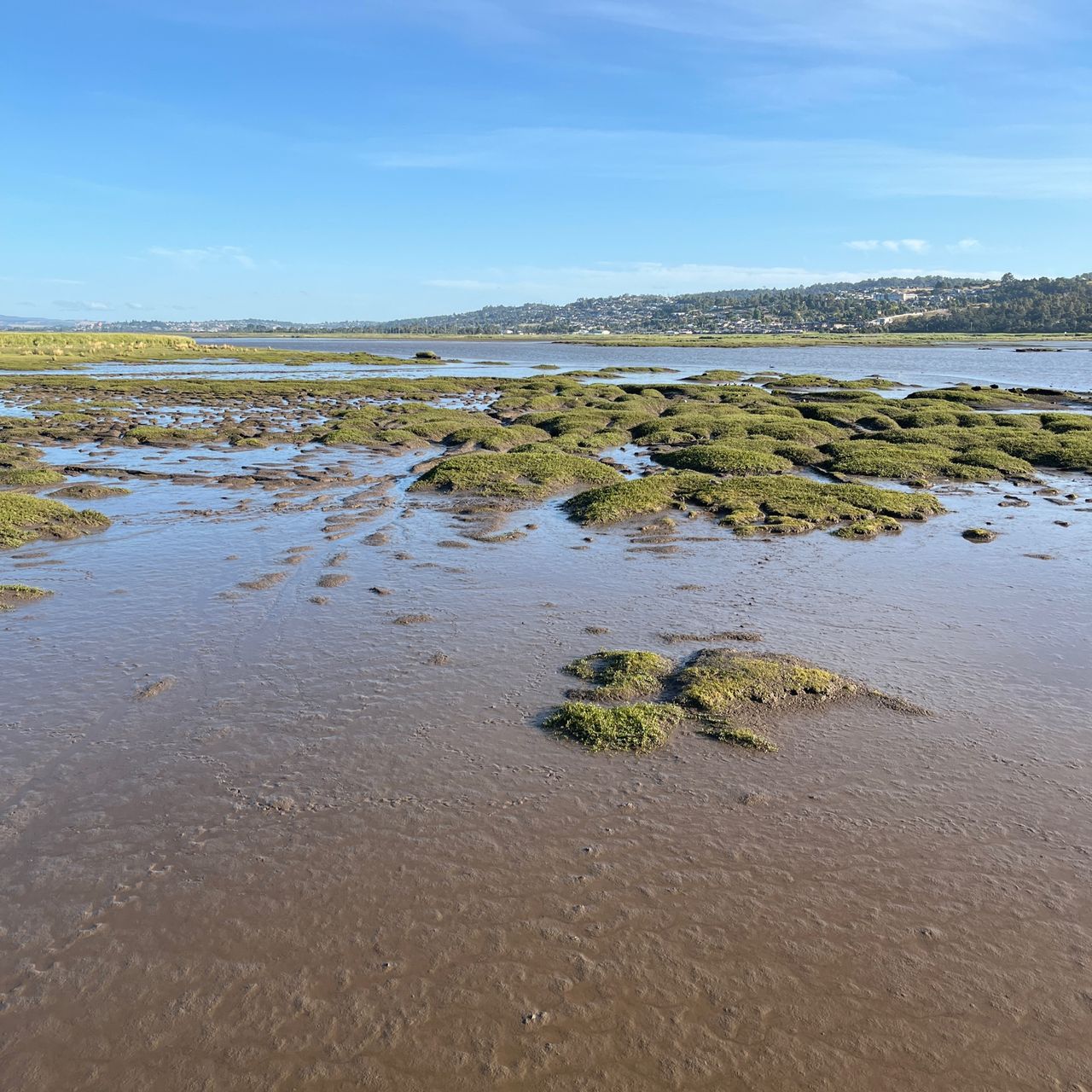
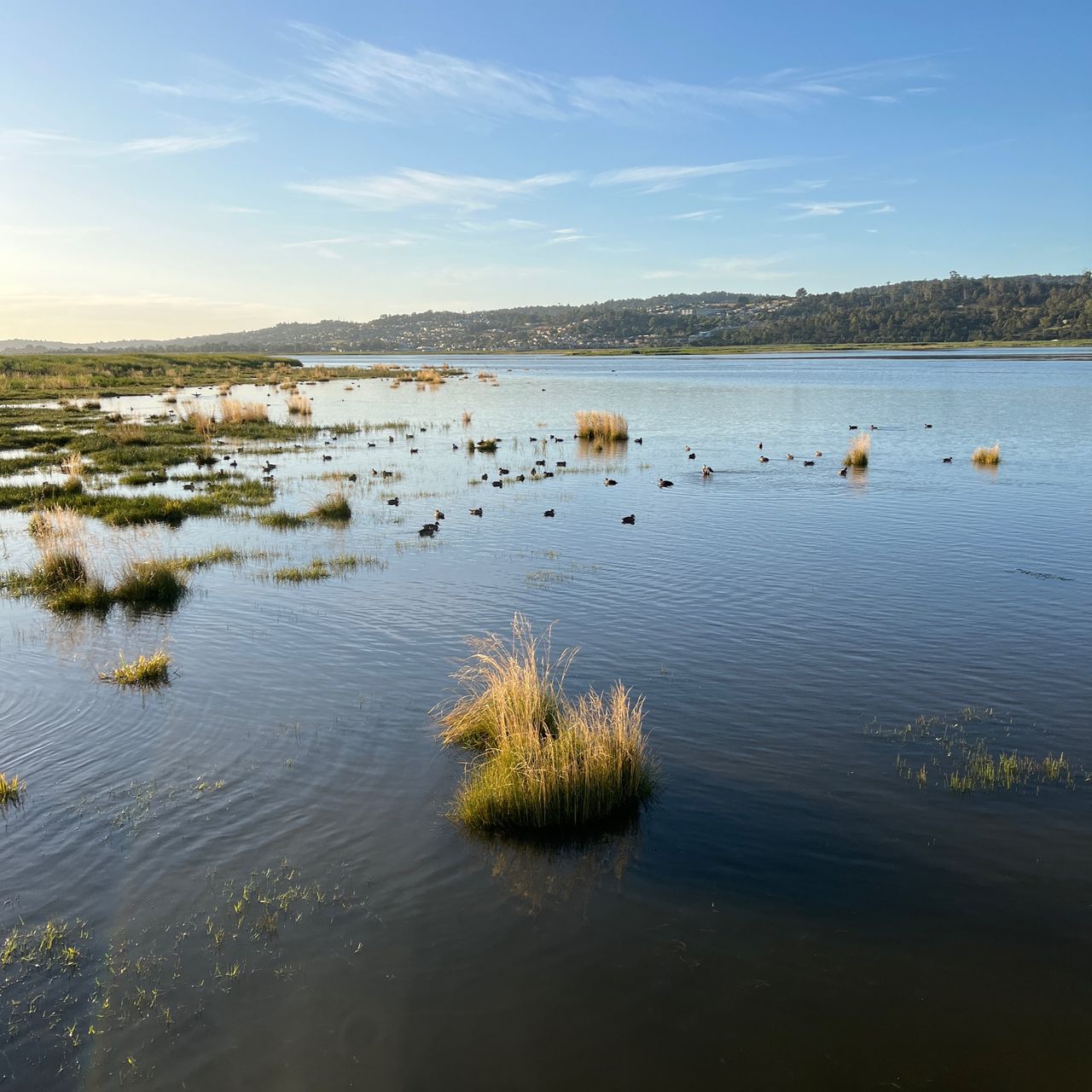
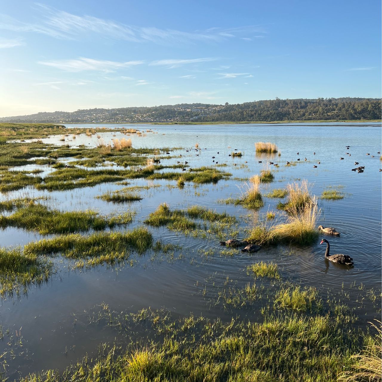
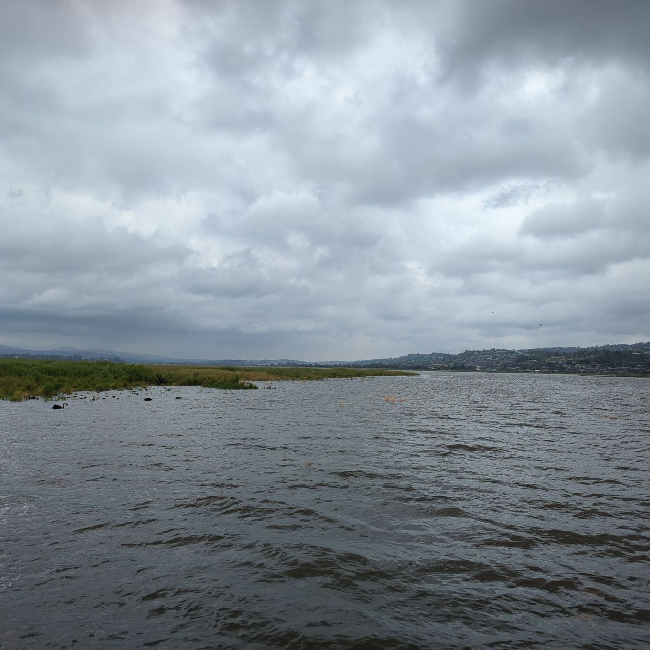
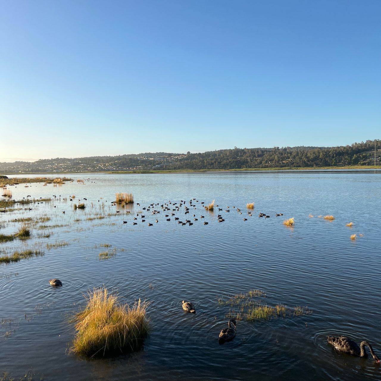
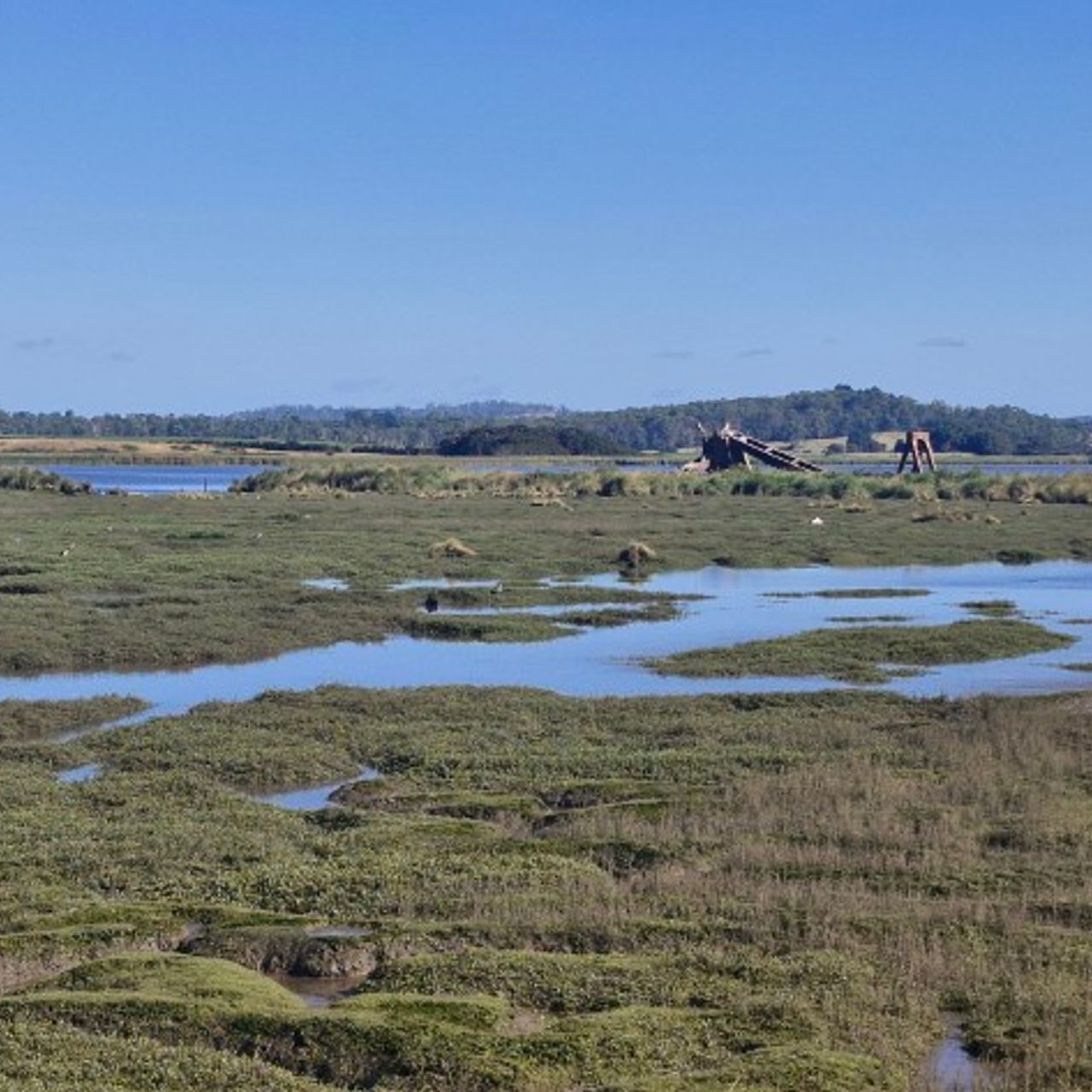
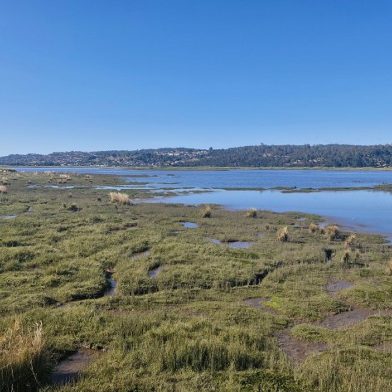
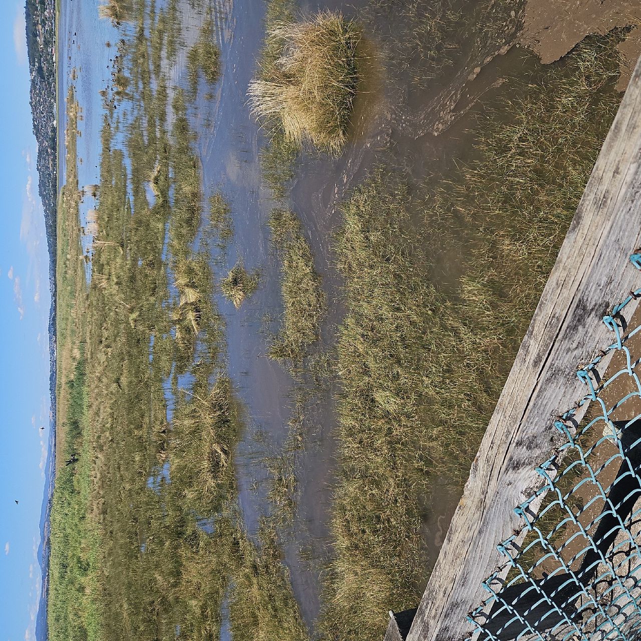
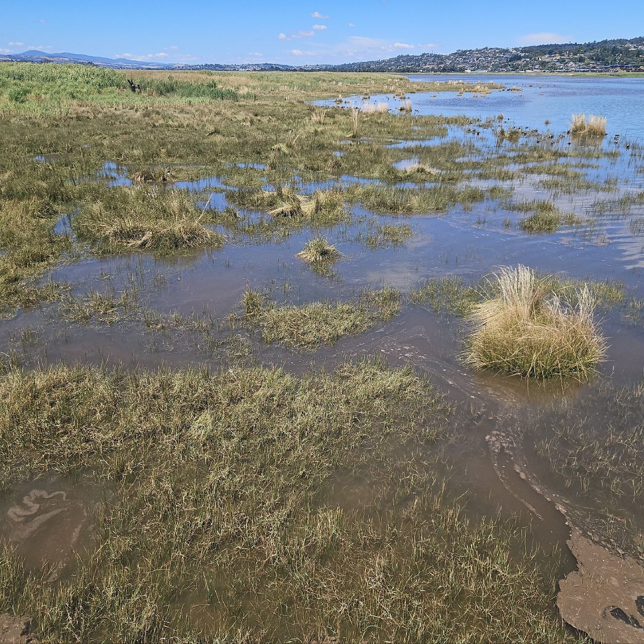
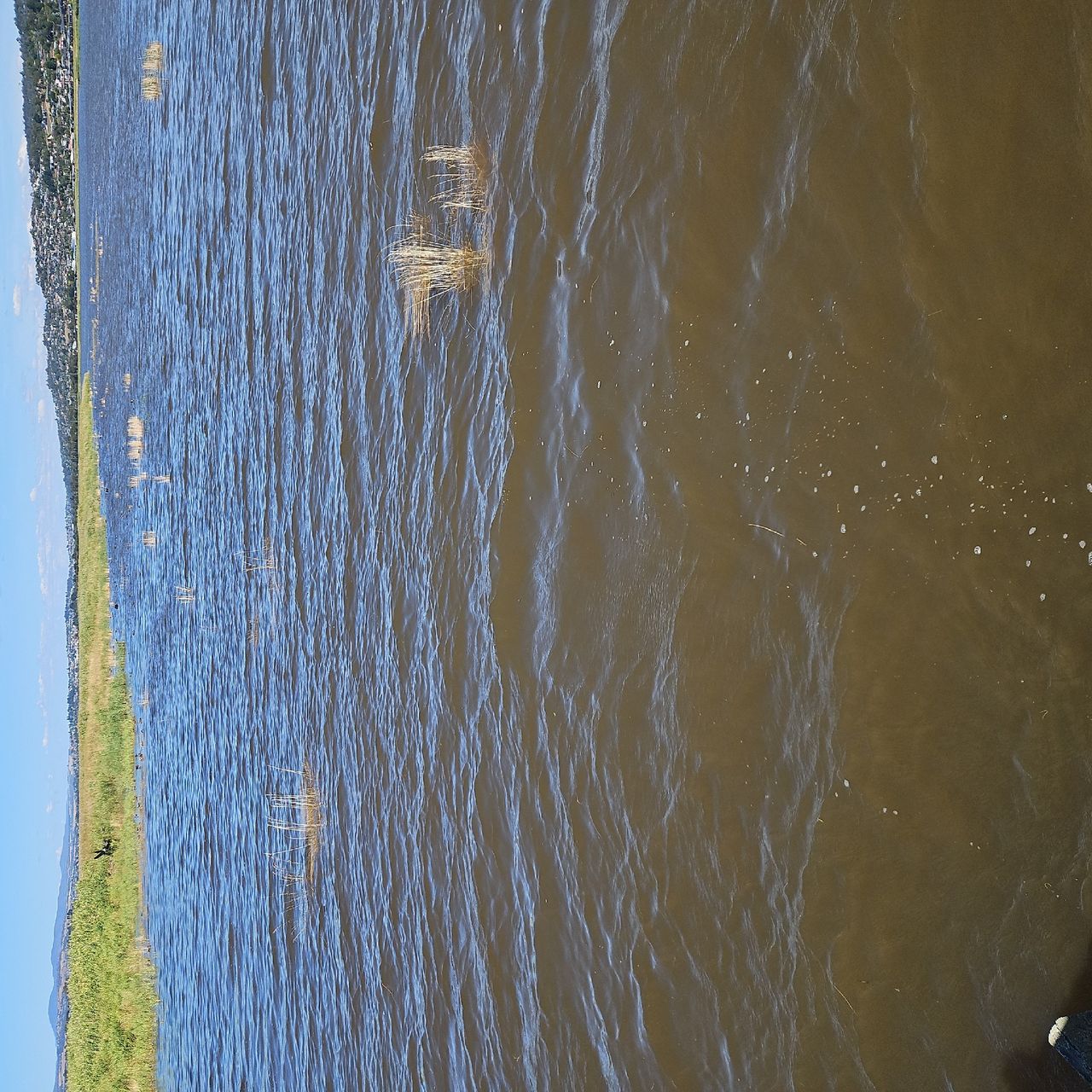
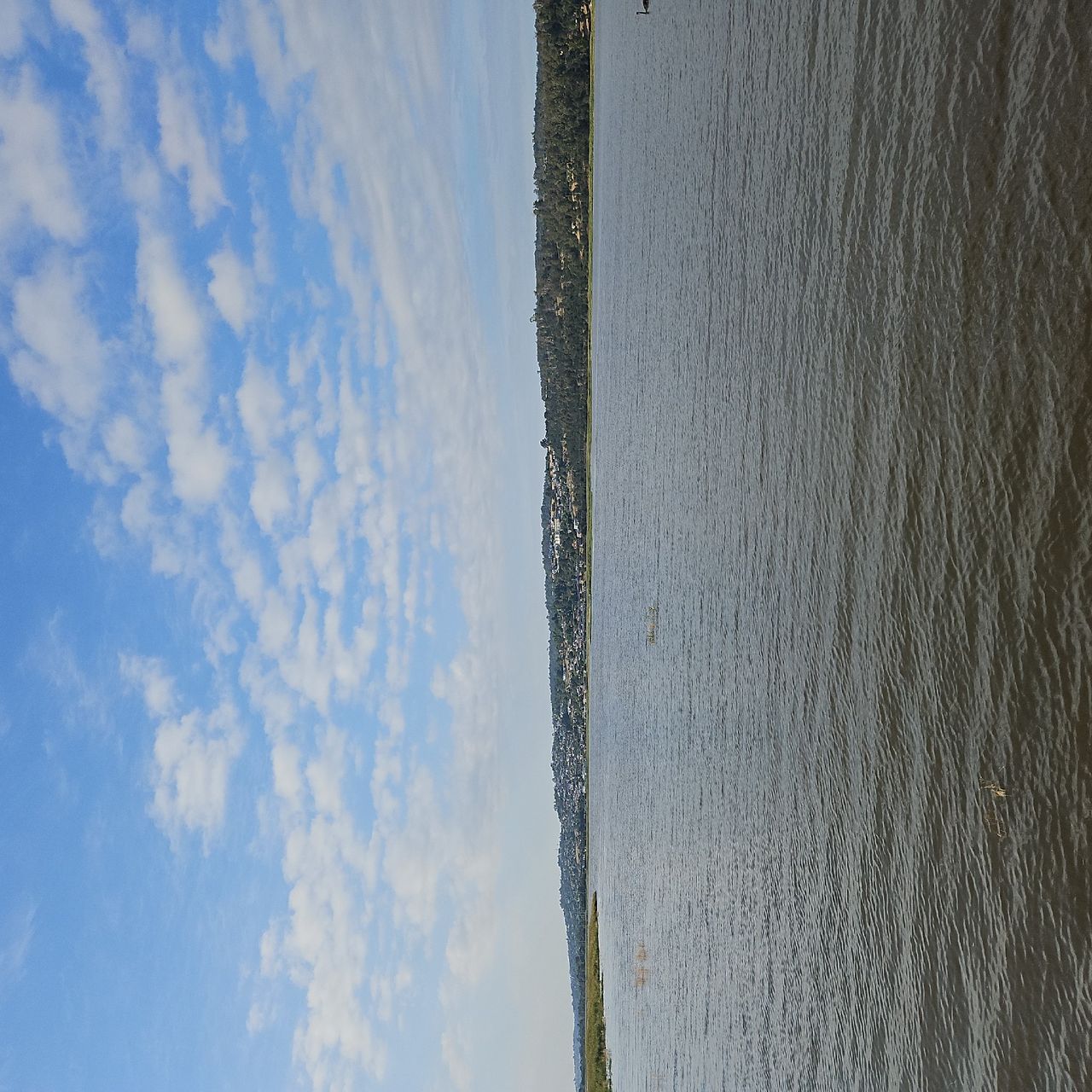
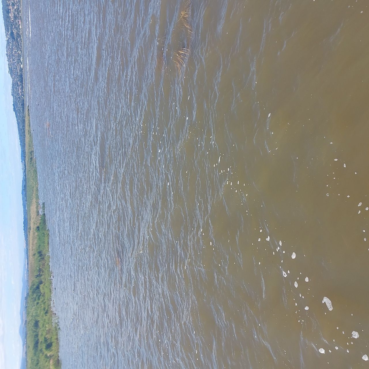
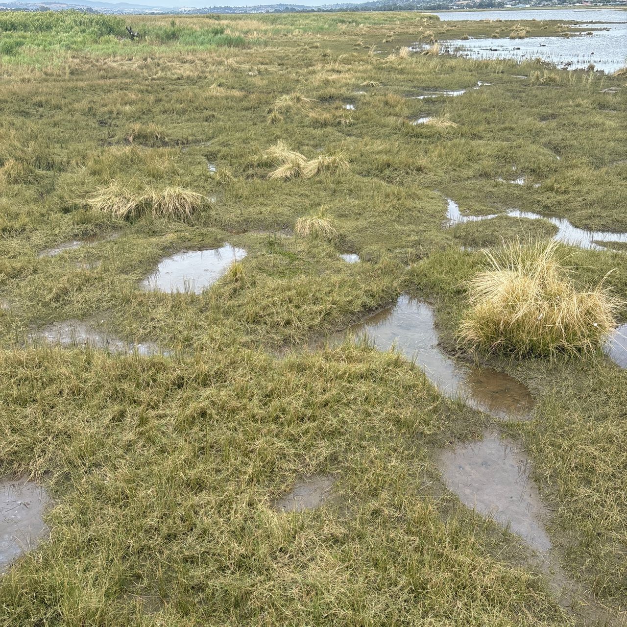
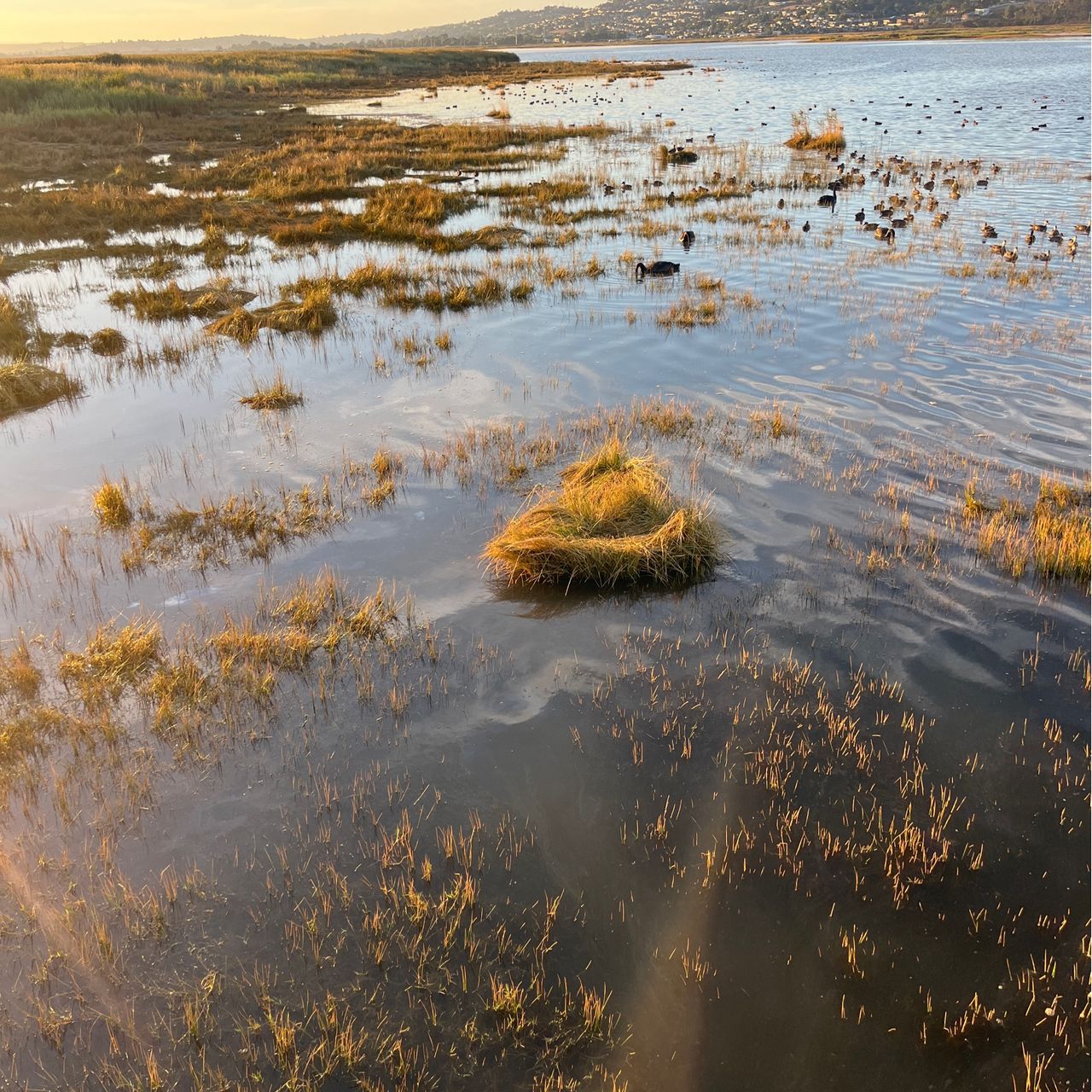
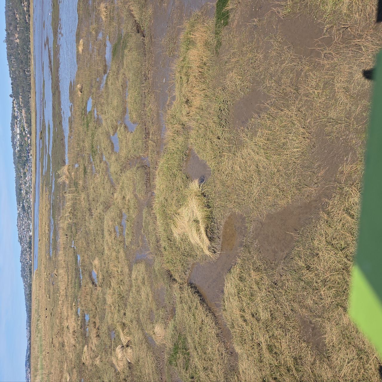
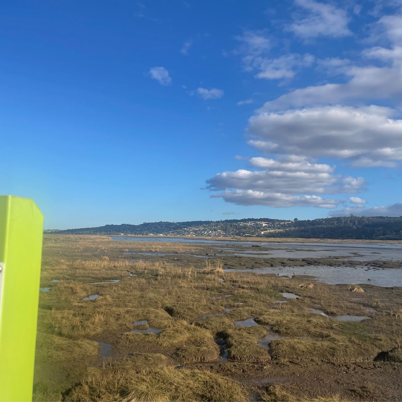
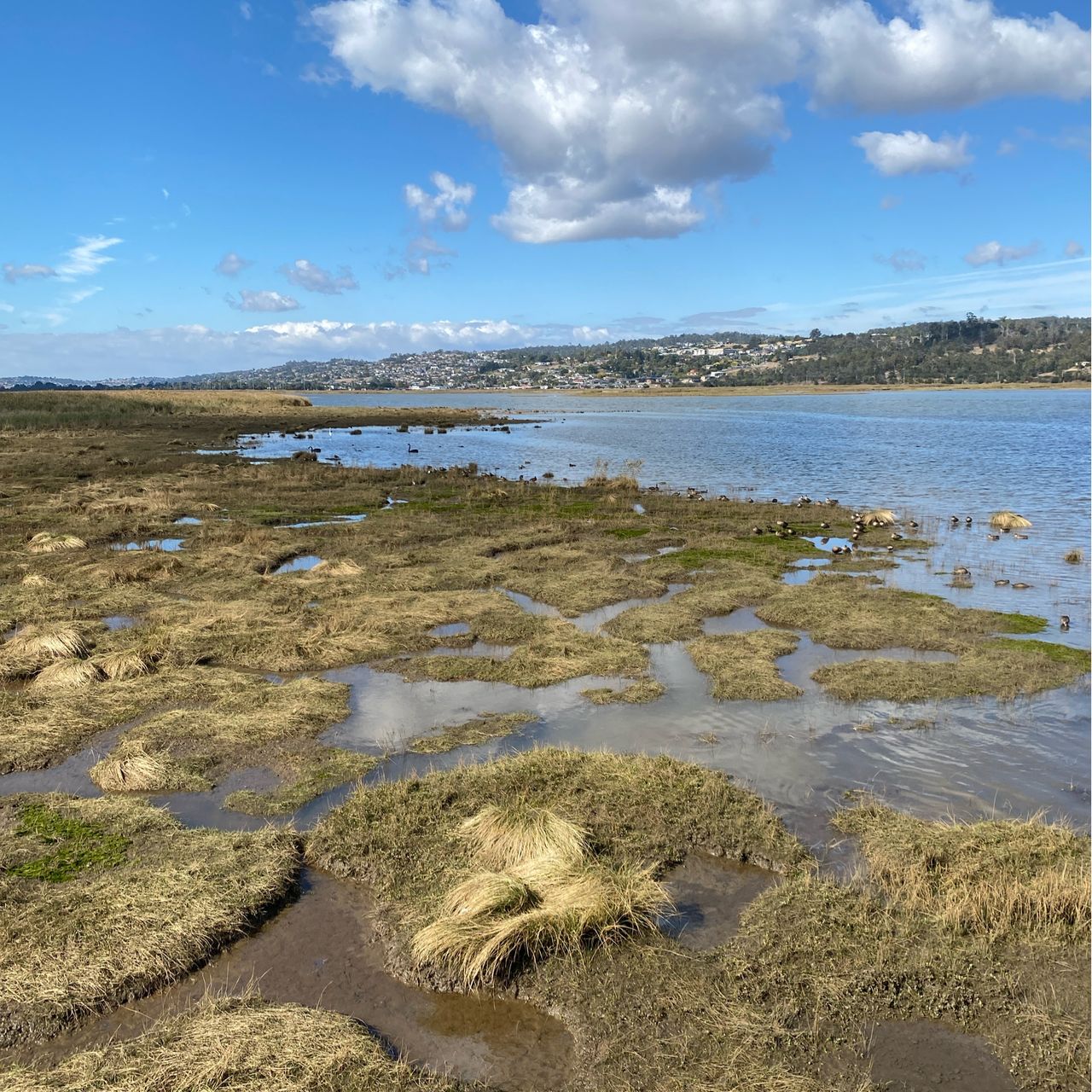
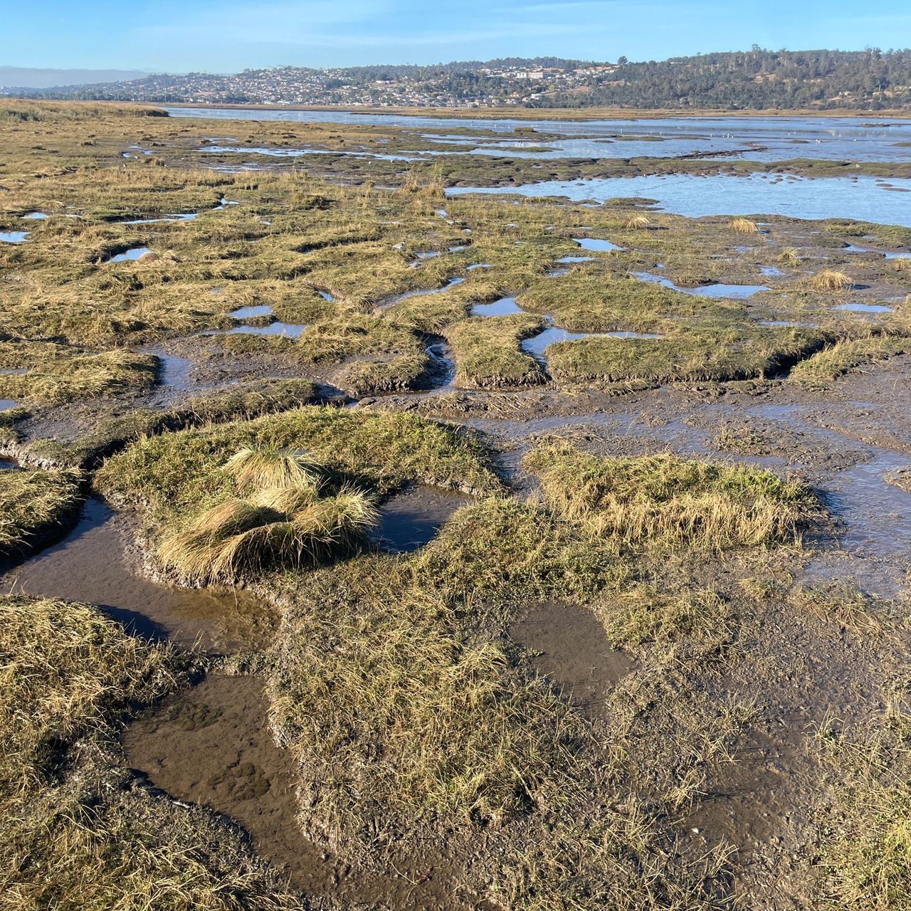
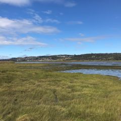
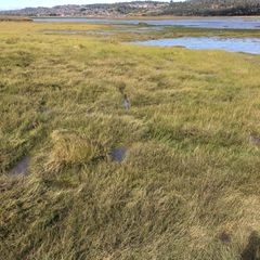
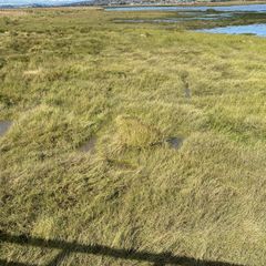
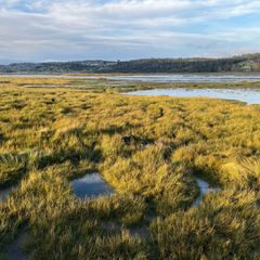
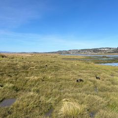
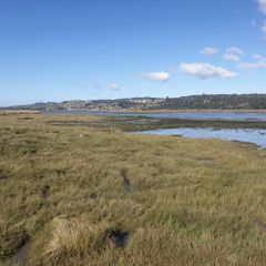
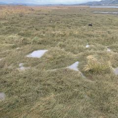
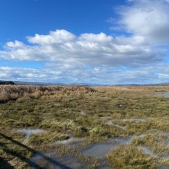
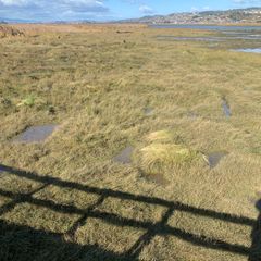
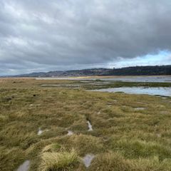
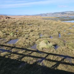
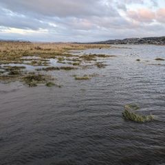
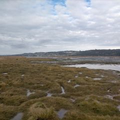
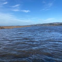
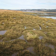
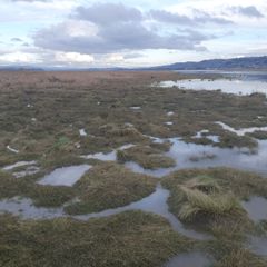
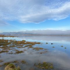
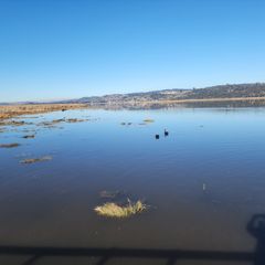
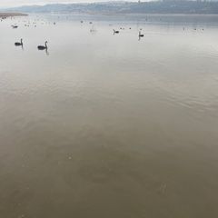
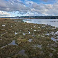
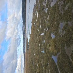
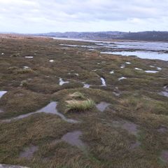
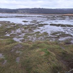
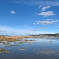
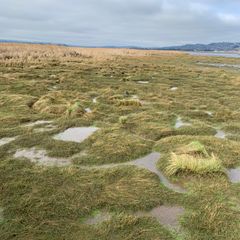
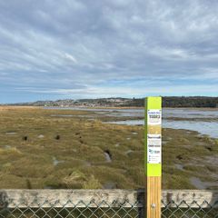
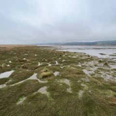
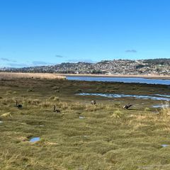
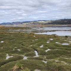
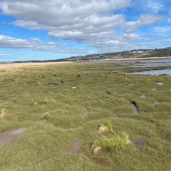
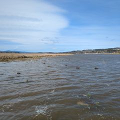
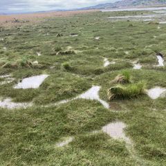
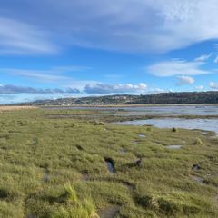
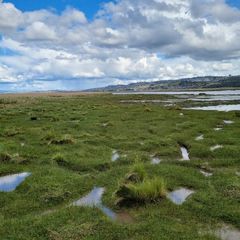
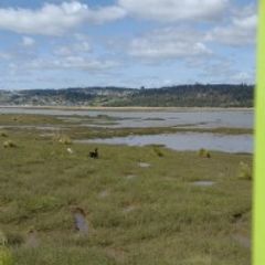
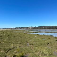
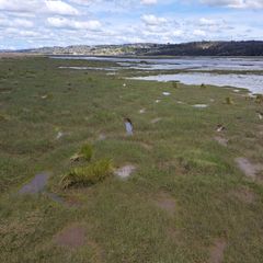
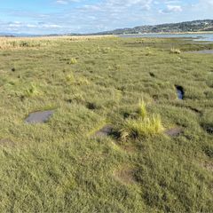
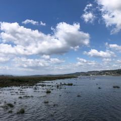
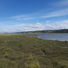
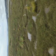
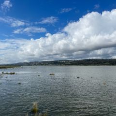
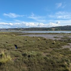
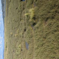
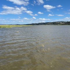
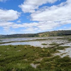
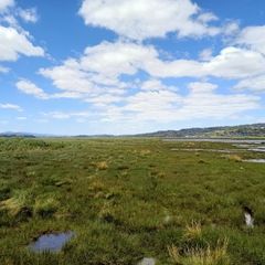
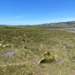
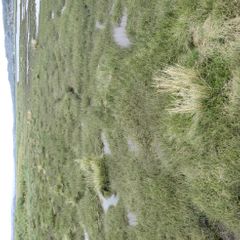
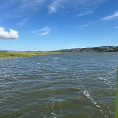
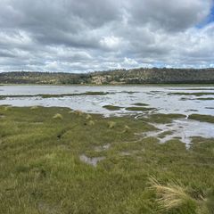
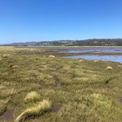
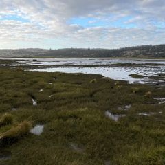
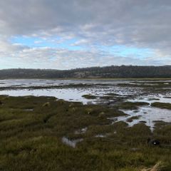
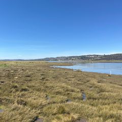
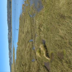
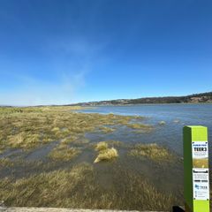
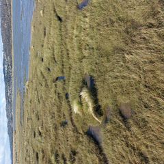
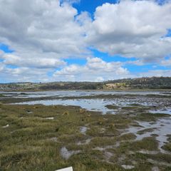
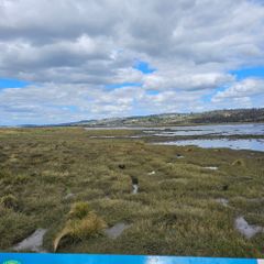
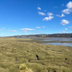
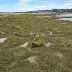
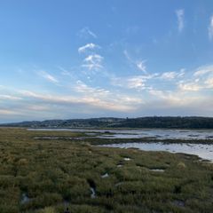
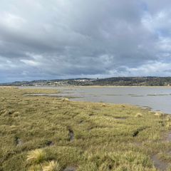
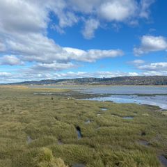
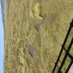
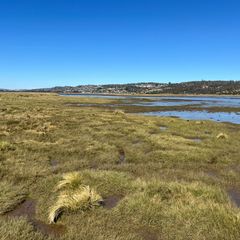
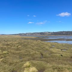
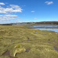
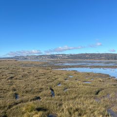
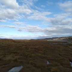
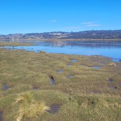
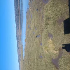
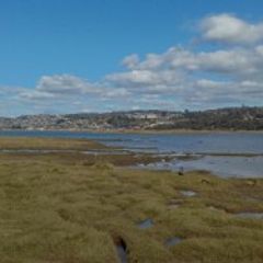
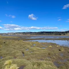
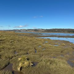
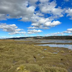
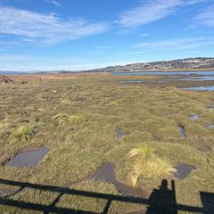
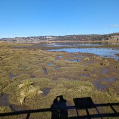
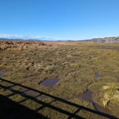
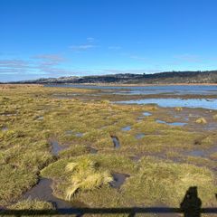
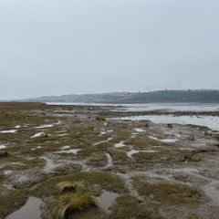
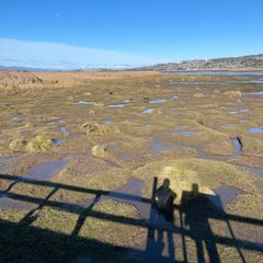
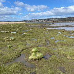
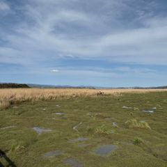
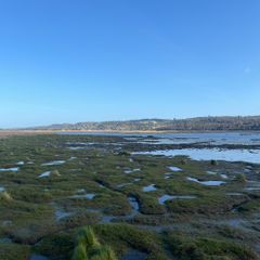
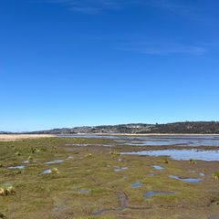
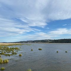
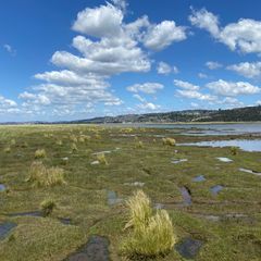
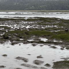
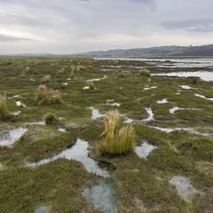
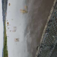
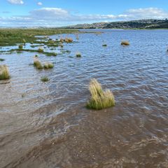
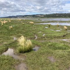
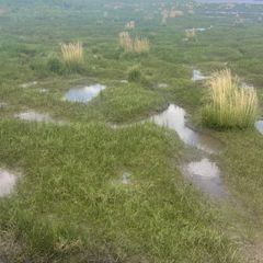
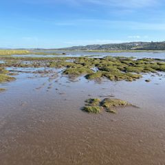
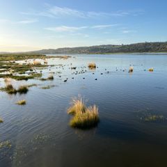
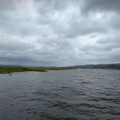
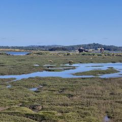
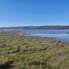
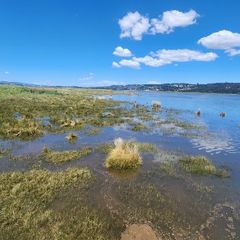
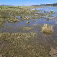
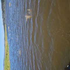
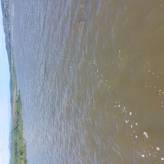
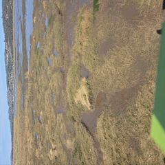
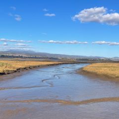
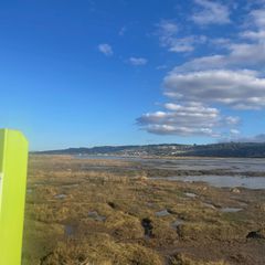
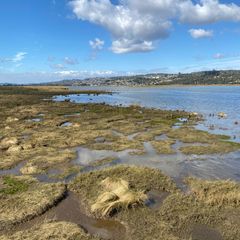
This Fluker Post is located along the Tamar Island Walkway, where it crosses onto the eastern edge of Tamar Island. The post faces south, taking in a view of the Fresh Water Aquatic Sedgeland and Rushland intertidal vegetation community bordering Tamar Island. The lower and mid-intertidal areas include tussocks of Coastal Spear Grass (Austrostipa stipoides), while the upper intertidal is dominated by the Common Reed (Phragmites australis). The purpose of this Fluker Post is to document changes to the structure of this vegetation community as a result of local drivers, such as water quality, and global drivers, such as sea level rise. For more information on the natural values and ecological health of the kanamaluka / Tamar estuary, visit https://www.teer.org.au/.