
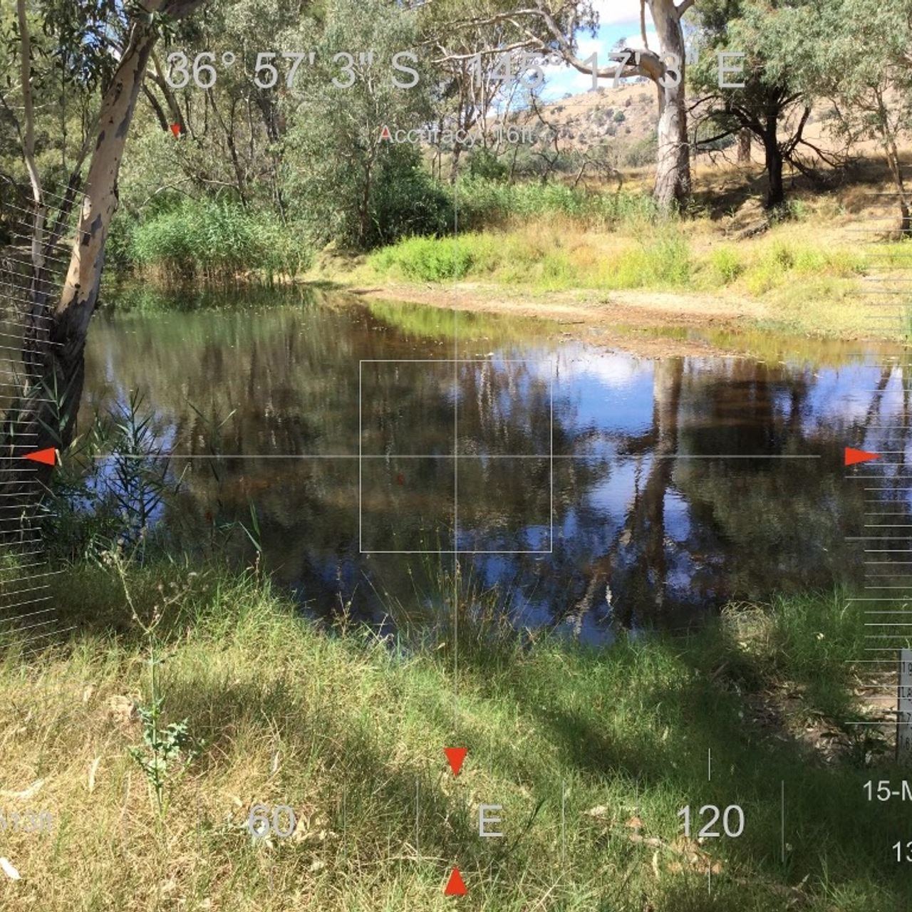
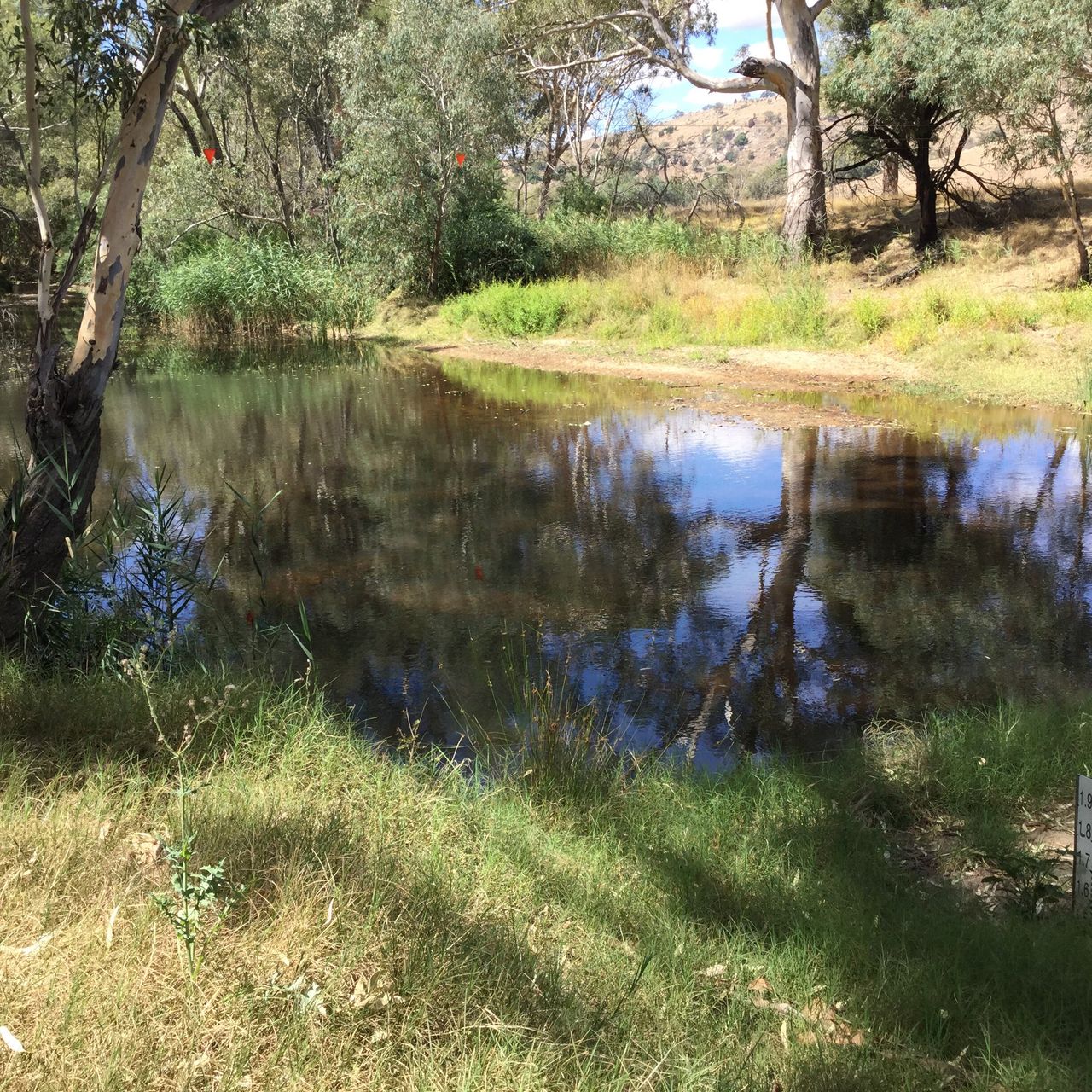
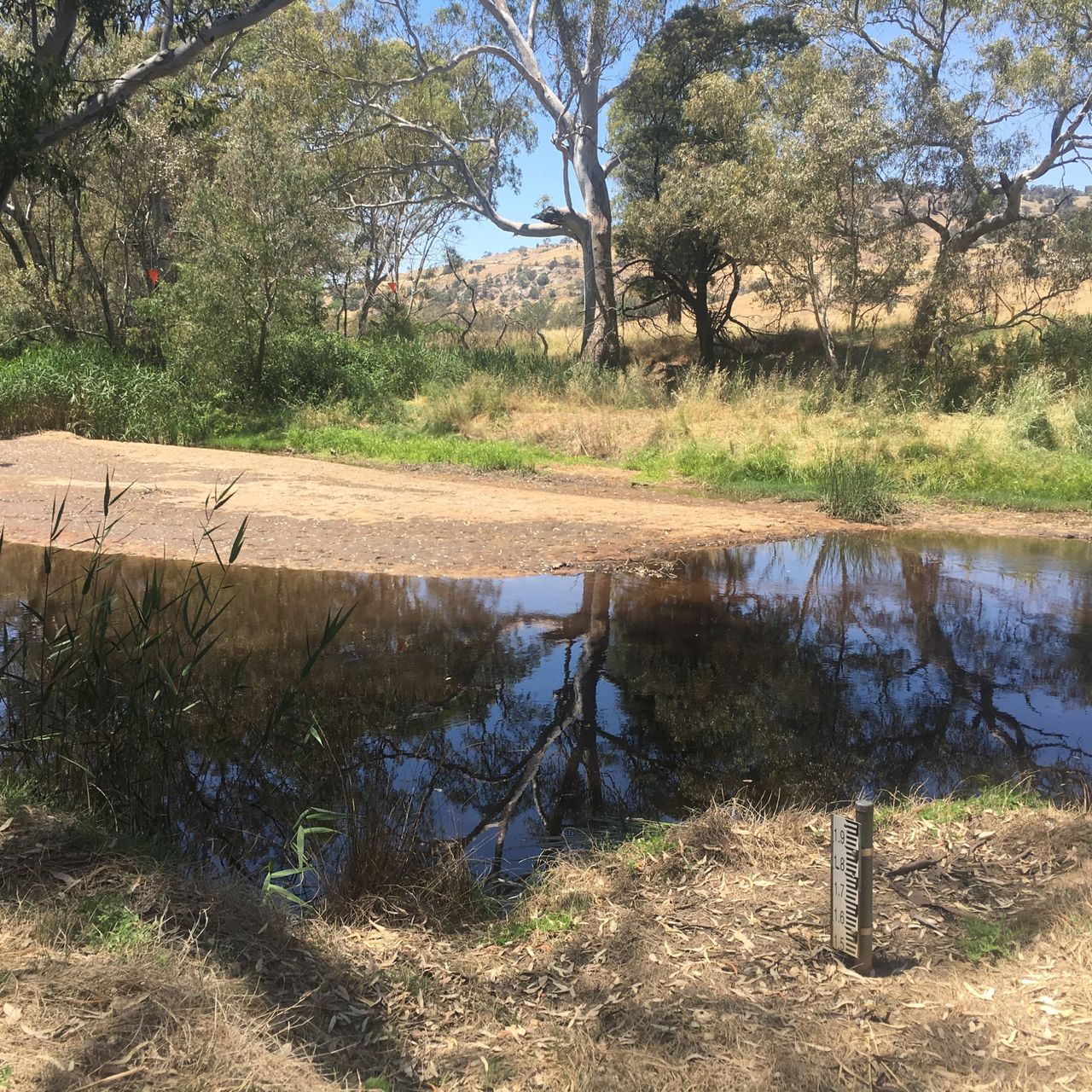
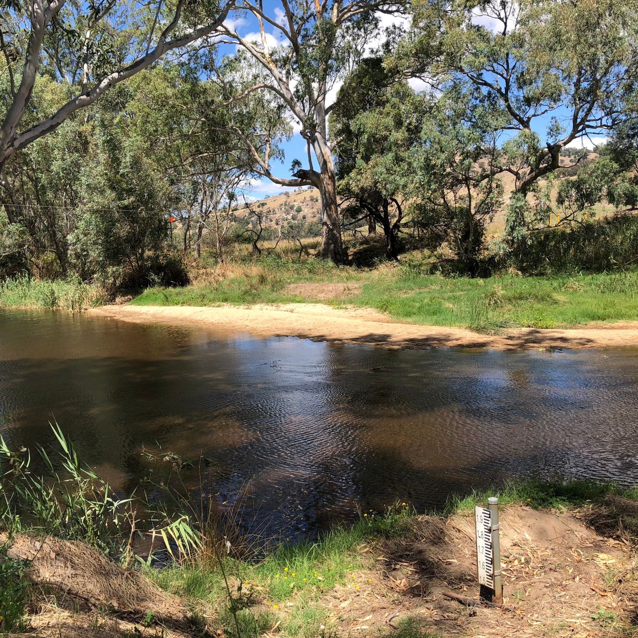
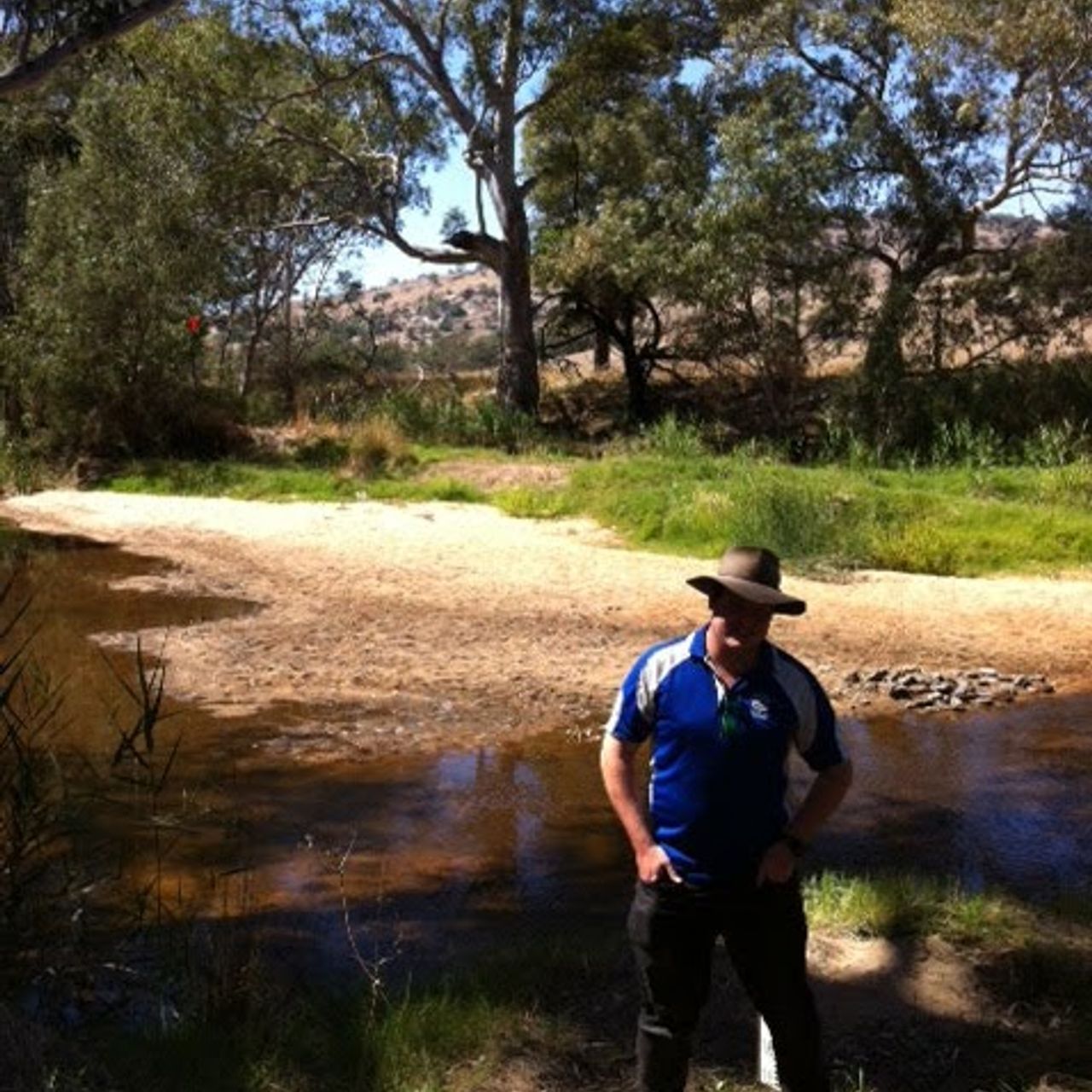
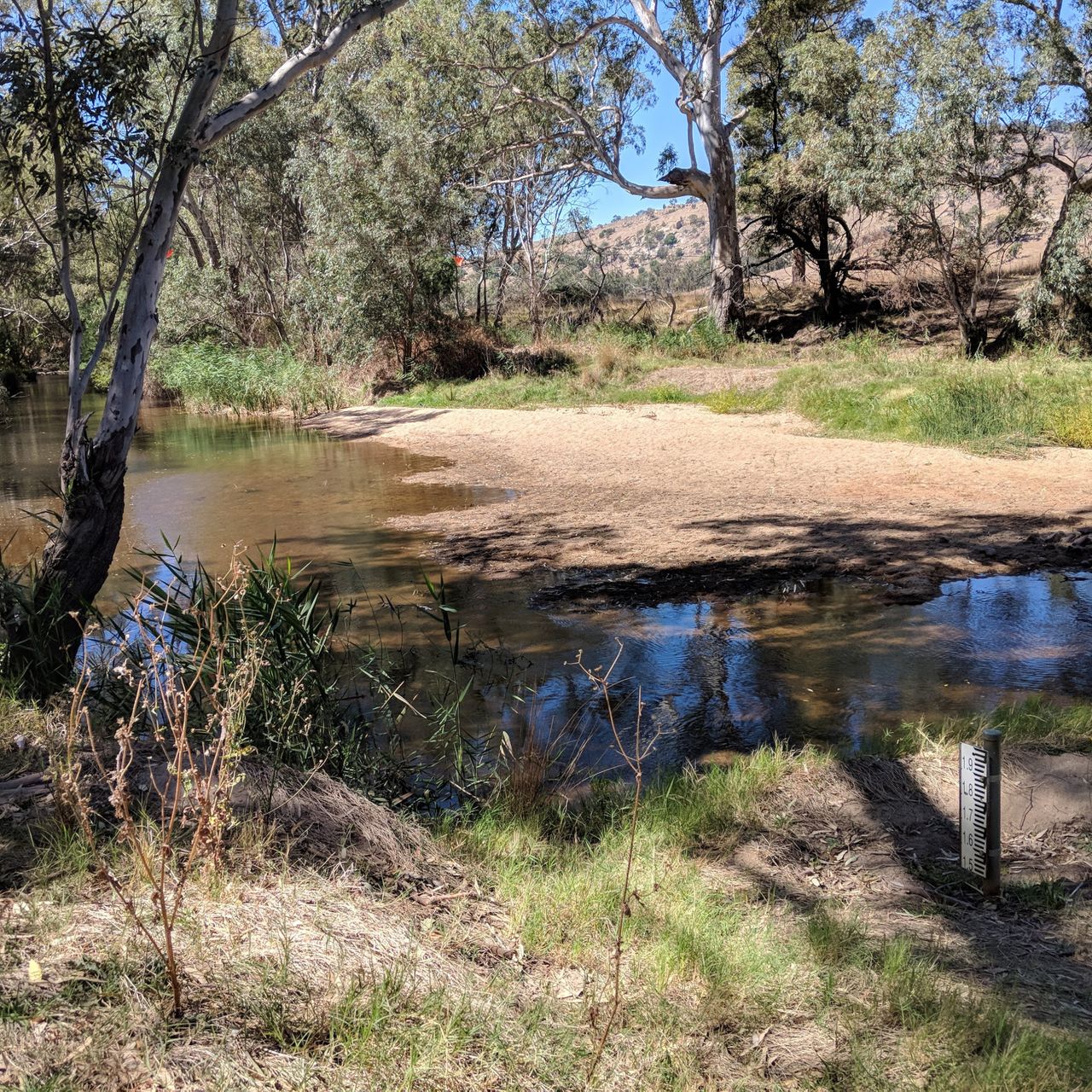
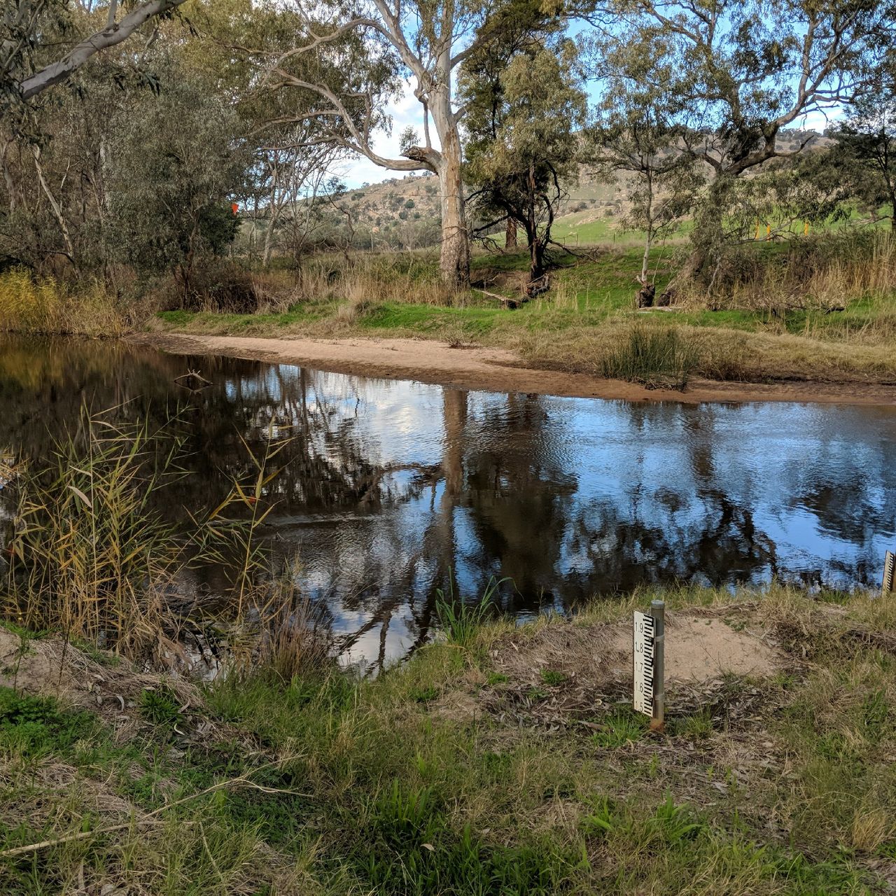
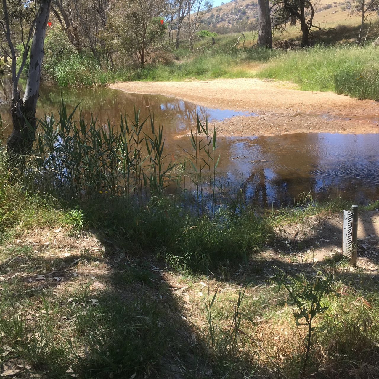
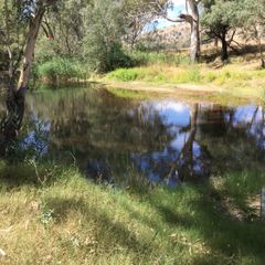
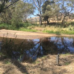
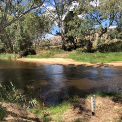
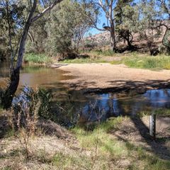
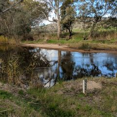
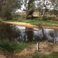
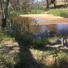
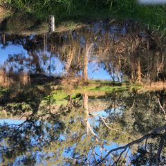
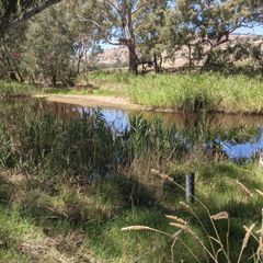
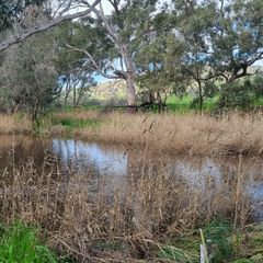
RIV46 Tarcombe Road Steamflow Gauge
Flagship Waterways
12
Years
15
Photos


2010
2017

2018

2019

2020
2021
2022


RIV46 Tarcombe Road Steamflow Gauge
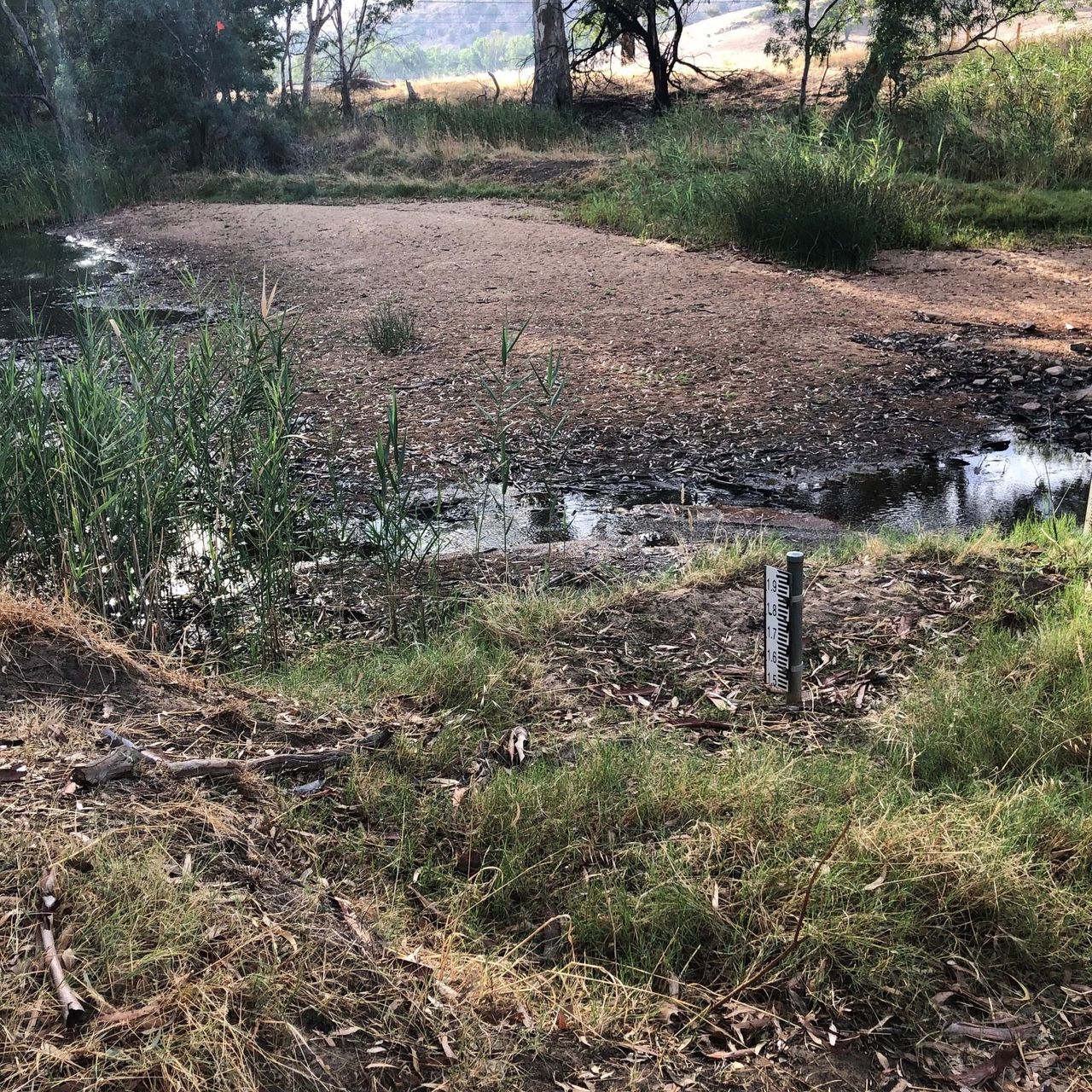
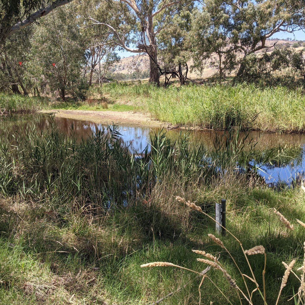
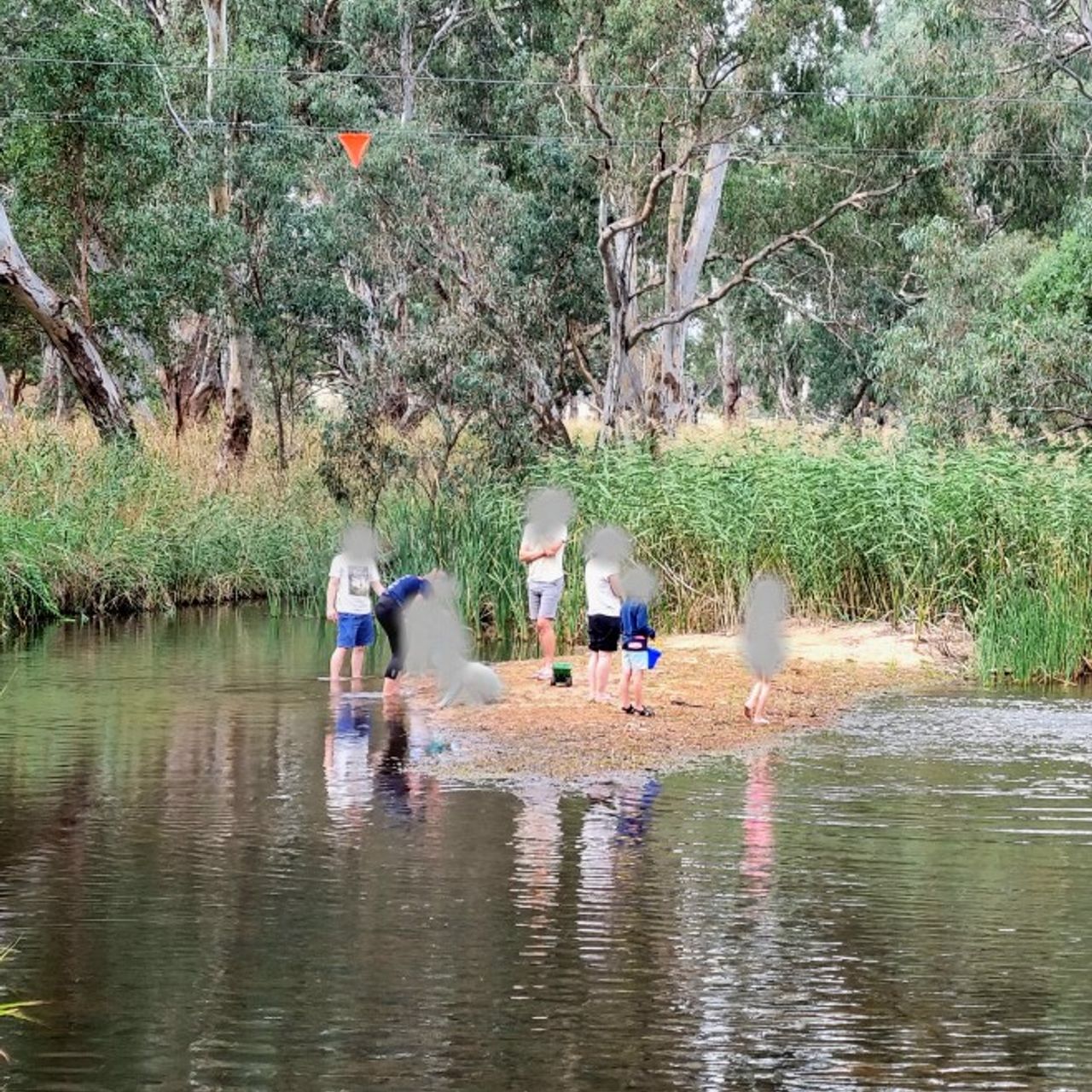
This weir pool is an important refuge for fish and is the location of the gauge recording stream flow in real time for Hughes Creek. Through Goulburn Broken Catchment Management Authority (GBCMA) efforts to eradicate an invasive exotic tree species, desert ash (Fraxinus angustifolia) in this 3km reach of stream and tributary, Discovery Creek, we aim to see improvement in the quality of riparian vegetation. Commenced in 2017, this exotic control has been complemented with revegetation works undertaken with adjoining landholders and with the assistance of community groups like Native Fish Australia, whom have also provided active support to improve instream habitat for fish. Complementary re-snagging and boulder seeding activities have been undertaken to enhance shelter in these refuge pools and improve connectivity for passage between, particularly in low flows. While the changes in the stream channel will not be so visible, we anticipate the images will help to document the stream at different recorded gauge flows to better understand what instream habitat can be utilised and how the improvement to riparian condition can continue to enhance this over time.